Estimated Value: $319,896 - $547,000
--
Bed
--
Bath
2,896
Sq Ft
$141/Sq Ft
Est. Value
About This Home
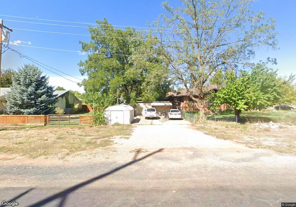
This home is located at 30 W 400 Ln S, Kanab, UT 84741 and is currently estimated at $409,299, approximately $141 per square foot. 30 W 400 Ln S is a home with nearby schools including Valley Elementary School and Valley High School.
Ownership History
Date
Name
Owned For
Owner Type
Purchase Details
Closed on
Oct 5, 2009
Sold by
Cox Paul and Cox Michelle
Bought by
Glendale Town
Current Estimated Value
Purchase Details
Closed on
Apr 29, 2008
Sold by
Sorensen Dellas and Sorensen Colleen
Bought by
Cox Paul and Cox Michelle
Home Financials for this Owner
Home Financials are based on the most recent Mortgage that was taken out on this home.
Original Mortgage
$150,000
Interest Rate
6.11%
Create a Home Valuation Report for This Property
The Home Valuation Report is an in-depth analysis detailing your home's value as well as a comparison with similar homes in the area
Home Values in the Area
Average Home Value in this Area
Purchase History
| Date | Buyer | Sale Price | Title Company |
|---|---|---|---|
| Glendale Town | -- | -- | |
| Cox Paul | -- | -- |
Source: Public Records
Mortgage History
| Date | Status | Borrower | Loan Amount |
|---|---|---|---|
| Previous Owner | Cox Paul | $150,000 |
Source: Public Records
Tax History Compared to Growth
Tax History
| Year | Tax Paid | Tax Assessment Tax Assessment Total Assessment is a certain percentage of the fair market value that is determined by local assessors to be the total taxable value of land and additions on the property. | Land | Improvement |
|---|---|---|---|---|
| 2025 | $1,275 | $158,030 | $31,986 | $126,044 |
| 2024 | $1,275 | $155,824 | $30,397 | $125,427 |
| 2023 | $1,164 | $146,972 | $28,950 | $118,022 |
| 2022 | $1,435 | $160,428 | $31,532 | $128,896 |
| 2021 | $1,348 | $224,374 | $44,100 | $180,274 |
| 2020 | $1,392 | $224,374 | $44,100 | $180,274 |
| 2019 | $1,287 | $201,112 | $44,100 | $157,012 |
| 2018 | $1,290 | $201,112 | $44,100 | $157,012 |
| 2017 | $1,089 | $164,898 | $57,330 | $107,568 |
| 2016 | $1,114 | $164,898 | $57,330 | $107,568 |
| 2015 | $967 | $151,668 | $44,100 | $107,568 |
| 2014 | $967 | $139,161 | $44,100 | $95,061 |
| 2013 | -- | $77,619 | $0 | $0 |
Source: Public Records
Map
Nearby Homes
- 146 100 E
- 0 100 E
- 95 E 100 N
- 342 E Overlook Ln
- 0 Bench Rd
- 325 N Main St
- 0 240 Acres Unit 111126
- 1460 E Coral Pink Cliffs Rd
- 240 Acres In Glendale
- 65 E 200 S
- Parcel 5 Mystic River
- 0 Pinion Pine Unit 1408975
- Parcel 3 Mystic River
- 0 W Pinyon Pine Dr Unit 1409030
- 0 Glendale Unit 2808494
- 0 W White Cliffs Dr Unit 1408846
- 0 W Squawberry Cir
- 1460 Coral Pink Cliffs
- 0 Lot 26 Unit 1408727
- Parcel 1 Jump Up Canyon