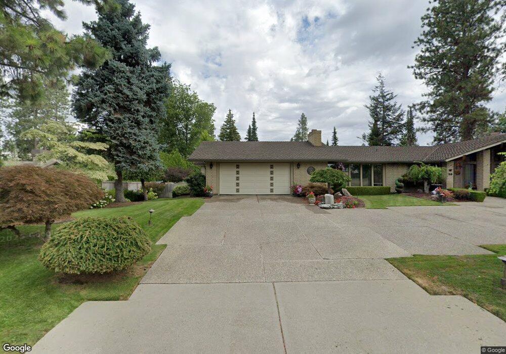
30 W High Dr Spokane, WA 99203
Comstock NeighborhoodEstimated Value: $699,000 - $1,018,000
3
Beds
3
Baths
2,392
Sq Ft
$379/Sq Ft
Est. Value
About This Home
This home is located at 30 W High Dr, Spokane, WA 99203 and is currently estimated at $907,068, approximately $379 per square foot. 30 W High Dr is a home located in Spokane County with nearby schools including Jefferson Elementary School, Sacajawea Middle School, and Lewis & Clark High School.
Ownership History
Date
Name
Owned For
Owner Type
Purchase Details
Closed on
Sep 26, 2011
Sold by
Walker Glen E and Walker Doris A
Bought by
Walker Doris A
Current Estimated Value
Purchase Details
Closed on
Nov 12, 2009
Sold by
Walker Doris A and Brunjes Doris Ann
Bought by
Walker Glen E and Walker Doris A
Purchase Details
Closed on
Dec 9, 2005
Sold by
Brunjes Carl Frederick
Bought by
Brunjes Doris Ann
Create a Home Valuation Report for This Property
The Home Valuation Report is an in-depth analysis detailing your home's value as well as a comparison with similar homes in the area
Home Values in the Area
Average Home Value in this Area
Purchase History
| Date | Buyer | Sale Price | Title Company |
|---|---|---|---|
| Walker Doris A | -- | None Available | |
| Walker Glen E | -- | None Available | |
| Brunjes Doris Ann | -- | None Available |
Source: Public Records
Tax History
| Year | Tax Paid | Tax Assessment Tax Assessment Total Assessment is a certain percentage of the fair market value that is determined by local assessors to be the total taxable value of land and additions on the property. | Land | Improvement |
|---|---|---|---|---|
| 2025 | $7,710 | $786,900 | $200,000 | $586,900 |
| 2024 | $7,710 | $778,100 | $200,000 | $578,100 |
| 2023 | $9,210 | $920,600 | $170,000 | $750,600 |
| 2022 | $8,411 | $943,300 | $168,000 | $775,300 |
| 2021 | $7,437 | $626,400 | $140,000 | $486,400 |
| 2020 | $7,241 | $587,600 | $123,500 | $464,100 |
| 2019 | $6,486 | $543,200 | $123,500 | $419,700 |
| 2018 | $6,915 | $497,650 | $118,750 | $378,900 |
| 2017 | $6,344 | $464,950 | $118,750 | $346,200 |
| 2016 | $6,185 | $443,550 | $118,750 | $324,800 |
| 2015 | $6,118 | $429,250 | $118,750 | $310,500 |
| 2014 | -- | $427,150 | $118,750 | $308,400 |
| 2013 | -- | $0 | $0 | $0 |
Source: Public Records
Map
Nearby Homes
- 11 W 40th Ave
- 16 W 37th Ave
- 48 W 37th Ave
- 3818 S Lamonte St
- 3630 S Downing Ct
- 3420 S Tekoa St
- 39 W 33rd Ave
- 3325 S Bernard St
- 129 W 33rd Ave
- 3404 S Manito Blvd
- 37 E 33rd Ave Unit 30'x36' Shop
- 3534 S Grand Blvd
- 606 E 36th Ave
- 4111 S Hatch St
- 3433 S High Dr
- 3022 S Manito Blvd
- 803 E 39th Ave
- 804 E 38th Ave
- 3018 S Manito Blvd
- 19 W 29th Ave
Your Personal Tour Guide
Ask me questions while you tour the home.