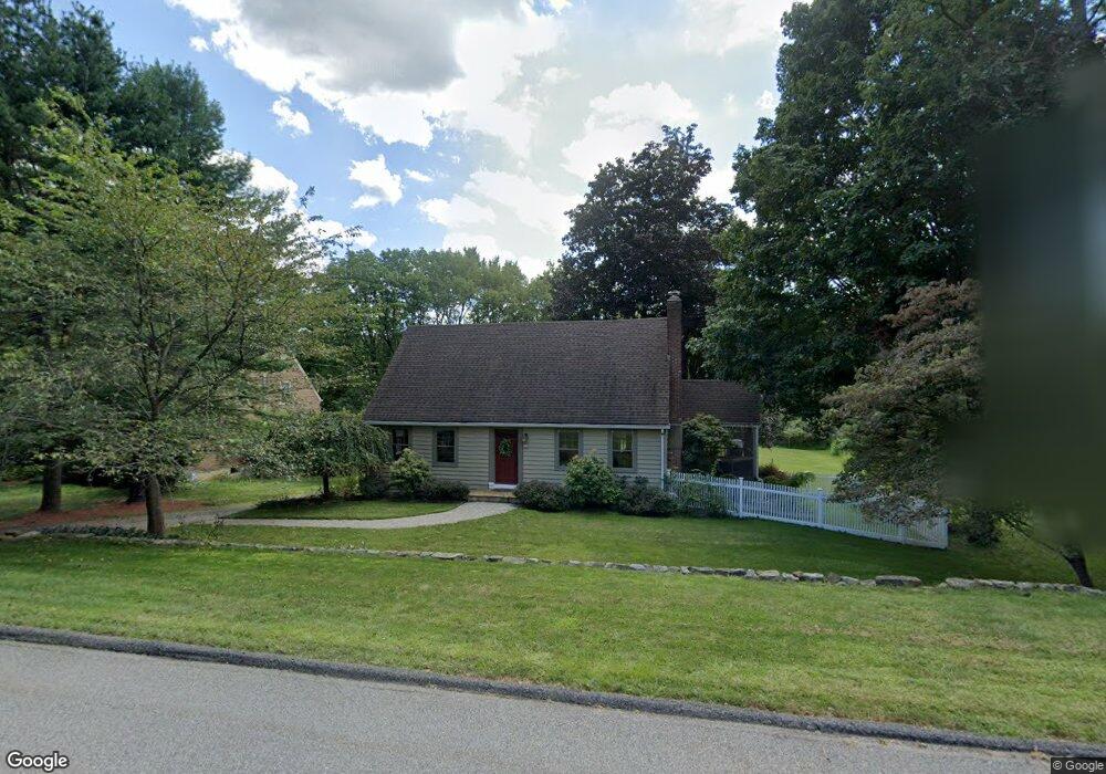
30 W Main St Morristown, NJ 07960
Estimated Value: $795,618 - $1,011,000
--
Bed
--
Bath
1,778
Sq Ft
$509/Sq Ft
Est. Value
About This Home
This home is located at 30 W Main St, Morristown, NJ 07960 and is currently estimated at $905,155, approximately $509 per square foot. 30 W Main St is a home with nearby schools including Mendham Township Elementary School, Mendham Township Middle School, and West Morris Mendham High School.
Ownership History
Date
Name
Owned For
Owner Type
Purchase Details
Closed on
Aug 23, 2018
Sold by
Stegmann Mark C and Stegmann Michelle L
Bought by
Sanford Michael and Sanford Samantha
Current Estimated Value
Home Financials for this Owner
Home Financials are based on the most recent Mortgage that was taken out on this home.
Original Mortgage
$415,200
Outstanding Balance
$360,628
Interest Rate
4.6%
Mortgage Type
New Conventional
Estimated Equity
$544,527
Purchase Details
Closed on
Jul 6, 2016
Sold by
Hunter Farley and Hunter Arleen
Bought by
Stegmann Mark C and Stegmann Michelle L
Purchase Details
Closed on
Jun 18, 1998
Sold by
Mckinnell George S and Mckinnell June M
Bought by
Hunter Farley and Hunter Arleen
Home Financials for this Owner
Home Financials are based on the most recent Mortgage that was taken out on this home.
Original Mortgage
$235,000
Interest Rate
7%
Create a Home Valuation Report for This Property
The Home Valuation Report is an in-depth analysis detailing your home's value as well as a comparison with similar homes in the area
Home Values in the Area
Average Home Value in this Area
Purchase History
| Date | Buyer | Sale Price | Title Company |
|---|---|---|---|
| Sanford Michael | $519,000 | Foundation Title Llc | |
| Stegmann Mark C | $515,000 | -- | |
| Hunter Farley | $280,000 | Chicago Title Insurance Co |
Source: Public Records
Mortgage History
| Date | Status | Borrower | Loan Amount |
|---|---|---|---|
| Open | Sanford Michael | $415,200 | |
| Previous Owner | Hunter Farley | $235,000 |
Source: Public Records
Tax History Compared to Growth
Tax History
| Year | Tax Paid | Tax Assessment Tax Assessment Total Assessment is a certain percentage of the fair market value that is determined by local assessors to be the total taxable value of land and additions on the property. | Land | Improvement |
|---|---|---|---|---|
| 2025 | $10,922 | $601,100 | $304,000 | $297,100 |
| 2024 | $10,717 | $562,400 | $280,000 | $282,400 |
| 2023 | $10,717 | $513,000 | $247,000 | $266,000 |
| 2022 | $8,699 | $497,700 | $240,000 | $257,700 |
| 2021 | $8,699 | $393,100 | $240,000 | $153,100 |
| 2020 | $8,644 | $393,100 | $240,000 | $153,100 |
| 2019 | $8,483 | $393,100 | $240,000 | $153,100 |
| 2018 | $7,867 | $371,600 | $240,000 | $131,600 |
| 2017 | $7,685 | $371,600 | $240,000 | $131,600 |
| 2016 | $7,674 | $371,600 | $240,000 | $131,600 |
| 2015 | $7,532 | $371,600 | $240,000 | $131,600 |
| 2014 | $7,361 | $371,600 | $240,000 | $131,600 |
Source: Public Records
Map
Nearby Homes
- 2 Abbington Way
- 15 Brockden Dr
- 26 Woodland Rd
- 3 Yardley Rd
- 17 E Main St
- 54 Pembroke Dr
- 77 Hampshire Dr
- 16 Glen Gary Dr
- 1 Dogwood Dr
- 56 Mountainside Rd
- 16 Galway Dr
- 56 Woodland Rd
- 60 Woodland Rd
- 67 Woodland Rd
- 2 Peacock Ln
- 120 Mountainside Rd
- 1 Southern Slope Terrace
- 4 Ascot Ln
- 11 Indian Hollow Rd
- 5 Queens Ct