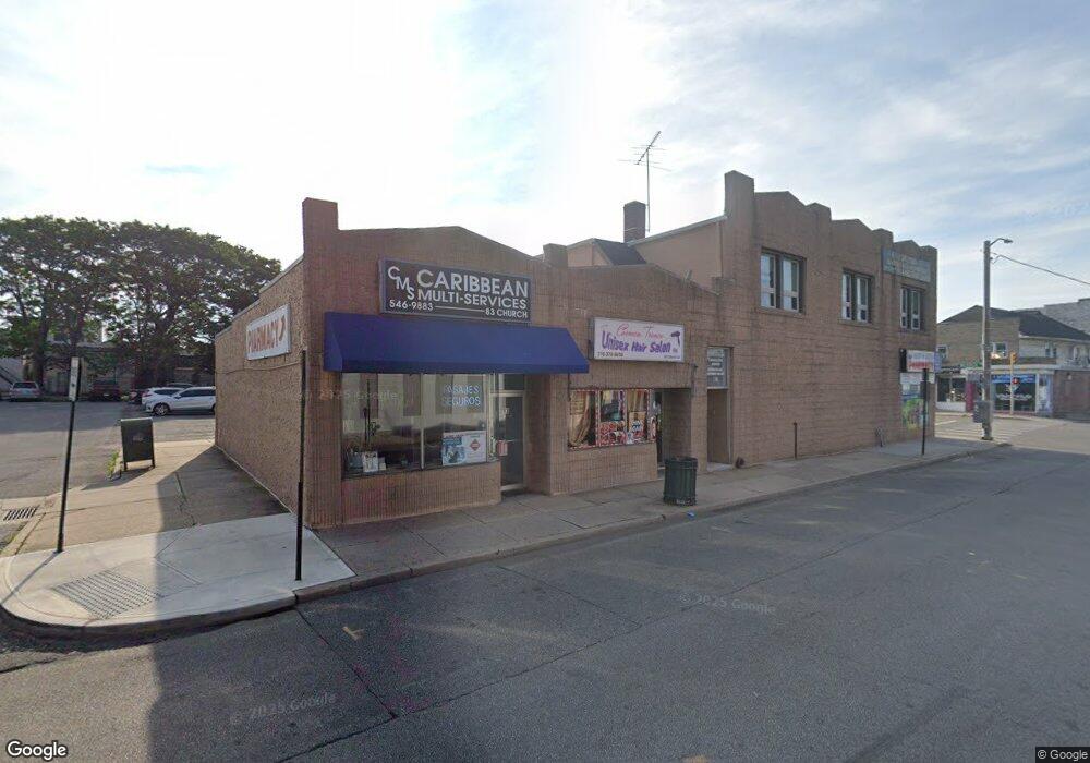
30 W Merrick Rd Freeport, NY 11520
Estimated Value: $646,000
--
Bed
--
Bath
5,880
Sq Ft
$110/Sq Ft
Est. Value
About This Home
This home is located at 30 W Merrick Rd, Freeport, NY 11520 and is currently estimated at $646,000, approximately $109 per square foot. 30 W Merrick Rd is a home with nearby schools including Columbus Avenue School, Caroline G. Atkinson Intermediate School, and John W Dodd Middle School.
Ownership History
Date
Name
Owned For
Owner Type
Purchase Details
Closed on
Mar 5, 2024
Sold by
Ruiz Jose I and Ruiz Albertina
Bought by
30 West Merrick Road Llc
Current Estimated Value
Purchase Details
Closed on
May 19, 2005
Sold by
62 West Merrick Rd Corp
Bought by
Ruiz Jose
Purchase Details
Closed on
Aug 25, 1998
Sold by
Estate Vakkas Ernest
Bought by
62 West Merrick Road Corp
Create a Home Valuation Report for This Property
The Home Valuation Report is an in-depth analysis detailing your home's value as well as a comparison with similar homes in the area
Home Values in the Area
Average Home Value in this Area
Purchase History
| Date | Buyer | Sale Price | Title Company |
|---|---|---|---|
| 30 West Merrick Road Llc | -- | None Available | |
| 30 West Merrick Road Llc | -- | None Available | |
| Ruiz Jose | $390,000 | -- | |
| Ruiz Jose | $390,000 | -- | |
| 62 West Merrick Road Corp | -- | -- | |
| 62 West Merrick Road Corp | -- | -- |
Source: Public Records
Tax History Compared to Growth
Tax History
| Year | Tax Paid | Tax Assessment Tax Assessment Total Assessment is a certain percentage of the fair market value that is determined by local assessors to be the total taxable value of land and additions on the property. | Land | Improvement |
|---|---|---|---|---|
| 2025 | $19,115 | $5,285 | $1,385 | $3,900 |
| 2024 | $2,170 | $5,285 | $1,385 | $3,900 |
| 2023 | $17,652 | $5,285 | $1,385 | $3,900 |
| 2022 | $17,652 | $5,285 | $1,385 | $3,900 |
| 2021 | $18,386 | $5,002 | $1,385 | $3,617 |
| 2020 | $9,436 | $3,329 | $1,840 | $1,489 |
| 2019 | $18,724 | $3,329 | $1,840 | $1,489 |
| 2018 | $18,901 | $3,329 | $0 | $0 |
| 2017 | $16,468 | $3,329 | $1,840 | $1,489 |
| 2016 | $19,102 | $3,329 | $1,840 | $1,489 |
| 2015 | $2,314 | $3,329 | $1,840 | $1,489 |
| 2014 | $2,314 | $3,329 | $1,840 | $1,489 |
| 2013 | $2,189 | $3,329 | $1,840 | $1,489 |
Source: Public Records
Map
Nearby Homes
- 70 S Main St Unit 307-PH
- 158 Church St
- 124 Smith St Unit 1B
- 124 Smith St Unit 3B
- 137 Smith St Unit A4
- 145 Smith St Unit D4
- 153 Smith St Unit F22
- 149 Smith St Unit e-22
- 100 S Ocean Ave Unit 4A
- 100 S Ocean Ave Unit 3m
- 47 East Ave
- 150 S Ocean Ave Unit 4-H
- 61 East Ave
- 18 Halsey St
- 194 Smith St Unit 3P
- 194 Smith St Unit 1
- 55 S Bergen Place Unit 3F
- 190 W Merrick Rd Unit 4E
- 5 Sportsmans Ave
- 222 Smith St Unit 1B
- 24 W Merrick Rd
- 27 W Merrick Rd
- 31 W Merrick Rd Unit 2
- 31 W Merrick Rd
- 80 Church St
- 1 W Merrick Rd
- 17 W Merrick Rd
- 43 W Merrick Rd
- 98 S Main St
- 6 W Merrick Rd
- 8 W Merrick Rd Unit 210
- 8 W Merrick Rd
- 90 S Main St
- 111 Church St
- 111 Church St Unit 111
- 52 A W Merrick Rd Merricck
- 80 S Main St Unit 3
- 104 S Main St
- 113 Church St Unit 115
- 9 W Merrick Rd