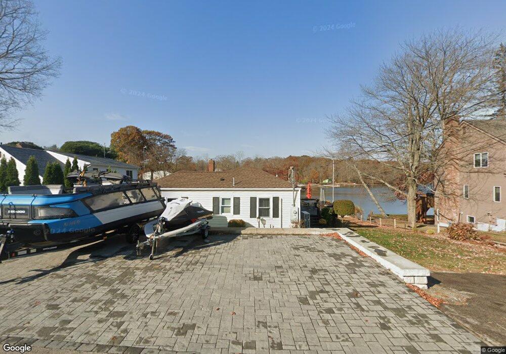
30 W Point Rd East Hampton, CT 06424
Estimated Value: $508,000 - $801,000
2
Beds
1
Bath
900
Sq Ft
$688/Sq Ft
Est. Value
About This Home
This home is located at 30 W Point Rd, East Hampton, CT 06424 and is currently estimated at $619,080, approximately $687 per square foot. 30 W Point Rd is a home located in Middlesex County with nearby schools including Memorial School, Center Elementary School, and East Hampton Middle School.
Ownership History
Date
Name
Owned For
Owner Type
Purchase Details
Closed on
Oct 16, 2009
Sold by
Pritchard William F
Bought by
Stevens Richard M and Nightingale Rhonda L
Current Estimated Value
Home Financials for this Owner
Home Financials are based on the most recent Mortgage that was taken out on this home.
Original Mortgage
$239,900
Outstanding Balance
$157,130
Interest Rate
5.14%
Estimated Equity
$461,950
Create a Home Valuation Report for This Property
The Home Valuation Report is an in-depth analysis detailing your home's value as well as a comparison with similar homes in the area
Home Values in the Area
Average Home Value in this Area
Purchase History
| Date | Buyer | Sale Price | Title Company |
|---|---|---|---|
| Stevens Richard M | $299,876 | -- | |
| Stevens Richard M | $299,876 | -- |
Source: Public Records
Mortgage History
| Date | Status | Borrower | Loan Amount |
|---|---|---|---|
| Open | Stevens Richard M | $239,900 |
Source: Public Records
Tax History
| Year | Tax Paid | Tax Assessment Tax Assessment Total Assessment is a certain percentage of the fair market value that is determined by local assessors to be the total taxable value of land and additions on the property. | Land | Improvement |
|---|---|---|---|---|
| 2025 | $12,270 | $308,990 | $233,340 | $75,650 |
| 2024 | $11,754 | $308,990 | $233,350 | $75,640 |
| 2023 | $11,142 | $308,990 | $233,350 | $75,640 |
| 2022 | $10,709 | $308,980 | $233,340 | $75,640 |
| 2021 | $10,669 | $308,980 | $233,340 | $75,640 |
| 2020 | $9,800 | $295,710 | $225,810 | $69,900 |
| 2019 | $8,956 | $270,250 | $207,000 | $63,250 |
| 2018 | $8,464 | $270,250 | $207,000 | $63,250 |
| 2017 | $8,464 | $270,250 | $207,000 | $63,250 |
| 2016 | $7,956 | $270,250 | $207,000 | $63,250 |
| 2015 | $6,892 | $248,090 | $177,110 | $70,980 |
| 2014 | $5,996 | $248,090 | $177,110 | $70,980 |
Source: Public Records
Map
Nearby Homes
- 43 E High St
- 24 N Main St
- 711 Lake Vista Dr Unit 711
- 15 Barrie Rd
- 18 Lake Blvd
- 1 Steepleview Dr
- 26 Lake Blvd
- 141 E High St
- 85 N Main St Unit 45
- 30 Barbara Ave
- 4 Myrtle Rd
- 10 Mountain Trail
- 8 North Ridge Unit 8
- 95 Tarragon Dr
- 55 Mountainview Rd
- 7 West Ave
- 130 Bear Swamp Rd
- 7 Nicholas Ct
- 52 Tarragon Dr
- 75 Childs Rd
- 32 W Point Rd
- 26 W Point Rd
- 16 W Point Rd
- 34 W Point Rd
- 31 W Point Rd
- 0 Indian Hill Rd Unit G677037
- 0 Indian Hill Rd Unit G691264
- 0 Indian Hill Rd Unit G10062179
- 35 W Point Rd
- 35 West Point
- 22 W Point Rd
- 24 W Point Rd
- 14 W Point Rd
- 18 W Point Rd
- 60 Mallard Cove
- 8 W Point Rd
- 13 Mallard Cove
- 13 Mallard Cove Unit 13
- 6 W Point Rd
- 14 Mallard Cove
Your Personal Tour Guide
Ask me questions while you tour the home.