30 Whale Rd West Yarmouth, MA 02673
West Yarmouth NeighborhoodEstimated Value: $2,167,000 - $4,997,062
4
Beds
4
Baths
3,288
Sq Ft
$1,143/Sq Ft
Est. Value
About This Home
This home is located at 30 Whale Rd, West Yarmouth, MA 02673 and is currently estimated at $3,758,687, approximately $1,143 per square foot. 30 Whale Rd is a home located in Barnstable County with nearby schools including Dennis-Yarmouth Regional High School, St. Pius X. School, and Kiddie Kollege Early Learning Center.
Ownership History
Date
Name
Owned For
Owner Type
Purchase Details
Closed on
Jun 10, 2013
Sold by
30 Whale Road Nt
Bought by
Forg David D and Forg Leslie D
Current Estimated Value
Home Financials for this Owner
Home Financials are based on the most recent Mortgage that was taken out on this home.
Original Mortgage
$417,000
Outstanding Balance
$295,836
Interest Rate
3.43%
Estimated Equity
$3,462,851
Create a Home Valuation Report for This Property
The Home Valuation Report is an in-depth analysis detailing your home's value as well as a comparison with similar homes in the area
Home Values in the Area
Average Home Value in this Area
Purchase History
| Date | Buyer | Sale Price | Title Company |
|---|---|---|---|
| Forg David D | -- | -- |
Source: Public Records
Mortgage History
| Date | Status | Borrower | Loan Amount |
|---|---|---|---|
| Open | Forg David D | $417,000 |
Source: Public Records
Tax History Compared to Growth
Tax History
| Year | Tax Paid | Tax Assessment Tax Assessment Total Assessment is a certain percentage of the fair market value that is determined by local assessors to be the total taxable value of land and additions on the property. | Land | Improvement |
|---|---|---|---|---|
| 2025 | $33,779 | $4,771,100 | $3,457,000 | $1,314,100 |
| 2024 | $31,648 | $4,288,400 | $3,084,600 | $1,203,800 |
| 2023 | $28,511 | $3,515,500 | $2,395,400 | $1,120,100 |
| 2022 | $24,557 | $2,675,000 | $1,938,400 | $736,600 |
| 2021 | $24,300 | $2,541,800 | $1,938,400 | $603,400 |
| 2020 | $6,281 | $2,304,100 | $1,735,800 | $568,300 |
| 2019 | $3,864 | $2,255,900 | $1,735,800 | $520,100 |
| 2018 | $23,213 | $2,255,900 | $1,735,800 | $520,100 |
| 2017 | $3,768 | $2,255,900 | $1,735,800 | $520,100 |
| 2016 | $21,653 | $2,169,600 | $1,636,600 | $533,000 |
| 2015 | $22,532 | $2,244,200 | $1,636,600 | $607,600 |
Source: Public Records
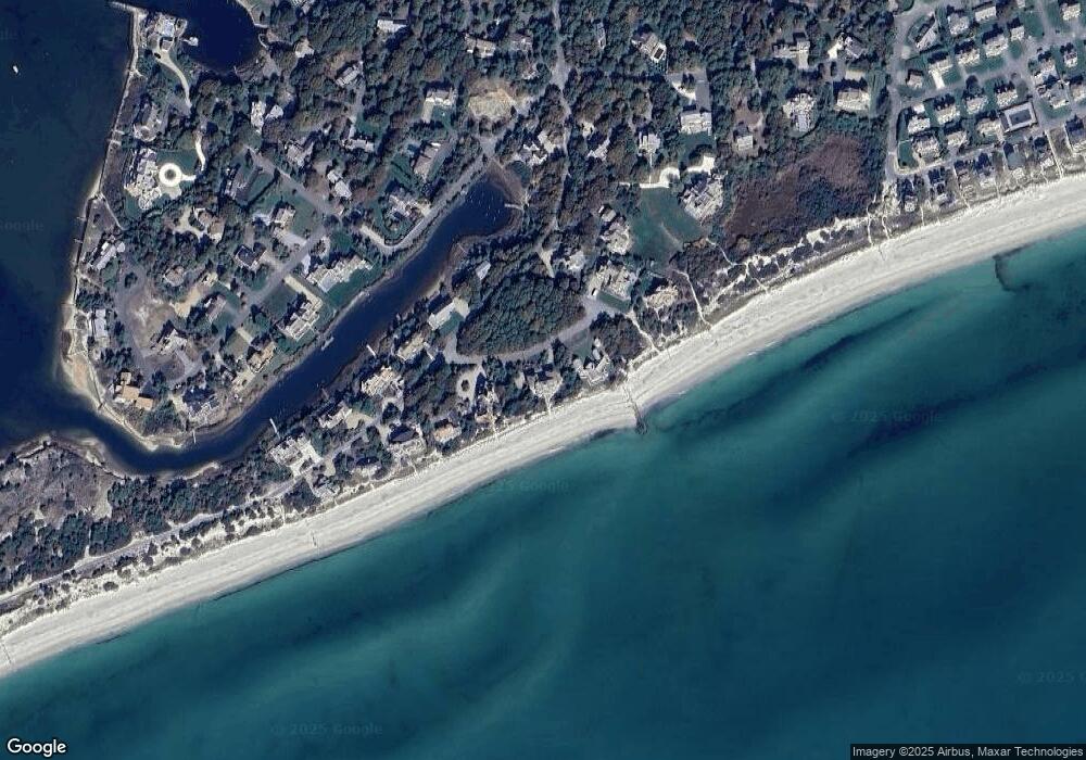
Map
Nearby Homes
- 10 Mark Way
- 31 Moss Rd
- 31 Moss Rd
- 286 S Sea Ave
- 21 Heritage Dr
- 14 Heritage Dr
- 41 Yelverton Ln
- 89 Acres Ave
- 2 Sachem Path
- 90 Broadway St Unit 92
- 90 Broadway St Unit 90
- 25-27 Merrymount Rd
- 25 & 27 Merrymount Rd
- 30 Nauset Ln
- 21 Schooner St
- 33 Hedge Row
- 130 Wimbledon Dr
- 85 Baker Rd
- 48 Jerusha Ln
- 107 Wimbledon Dr
- 40 Whale Rd
- 24 Whale Rd
- 336 Great Island Rd
- 350 Great Island Rd
- 85 Whale Rd
- 341 Great Island Rd
- 4 Whale Rd
- 10 Whale Rd
- 347 Great Island Rd
- 335 Great Island Rd
- 356 Great Island Rd
- 14 Whale Rd
- 355 Great Island Rd
- 327 Great Island Rd
- 68 Salt Meadow Rd
- 322 Great Island Rd
- 64 Salt Meadow Rd
- 58 Salt Meadow Rd
- 54 Salt Meadow Rd
- 74 Salt Meadow Rd