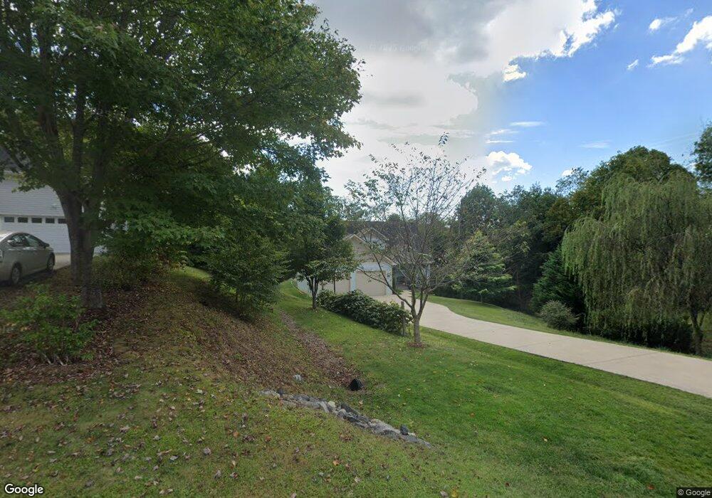
30 Whitetail Dr Weaverville, NC 28787
Estimated Value: $681,000 - $768,000
3
Beds
4
Baths
1,917
Sq Ft
$374/Sq Ft
Est. Value
About This Home
This home is located at 30 Whitetail Dr, Weaverville, NC 28787 and is currently estimated at $717,241, approximately $374 per square foot. 30 Whitetail Dr is a home with nearby schools including Weaverville Elementary, Weaverville Primary, and North Buncombe Middle.
Ownership History
Date
Name
Owned For
Owner Type
Purchase Details
Closed on
Feb 22, 2016
Sold by
Kopp Kevin P and Kopp Michele C
Bought by
Meinch Jesse
Current Estimated Value
Purchase Details
Closed on
Dec 22, 2006
Sold by
Lasher Maurice A and Lasher Jan
Bought by
Kopp Kevin P and Kopp Michele C
Home Financials for this Owner
Home Financials are based on the most recent Mortgage that was taken out on this home.
Original Mortgage
$53,000
Interest Rate
6.12%
Mortgage Type
Unknown
Create a Home Valuation Report for This Property
The Home Valuation Report is an in-depth analysis detailing your home's value as well as a comparison with similar homes in the area
Home Values in the Area
Average Home Value in this Area
Purchase History
| Date | Buyer | Sale Price | Title Company |
|---|---|---|---|
| Meinch Jesse | $48,500 | None Available | |
| Kopp Kevin P | $63,000 | None Available |
Source: Public Records
Mortgage History
| Date | Status | Borrower | Loan Amount |
|---|---|---|---|
| Previous Owner | Kopp Kevin P | $53,000 |
Source: Public Records
Tax History Compared to Growth
Tax History
| Year | Tax Paid | Tax Assessment Tax Assessment Total Assessment is a certain percentage of the fair market value that is determined by local assessors to be the total taxable value of land and additions on the property. | Land | Improvement |
|---|---|---|---|---|
| 2025 | $4,037 | $465,300 | $55,400 | $409,900 |
| 2024 | $4,037 | $465,300 | $55,400 | $409,900 |
| 2023 | $4,037 | $465,300 | $55,400 | $409,900 |
| 2022 | $3,899 | $465,300 | $0 | $0 |
| 2021 | $3,899 | $465,300 | $0 | $0 |
| 2020 | $3,114 | $342,600 | $0 | $0 |
| 2019 | $1,812 | $342,600 | $0 | $0 |
| 2018 | $1,812 | $342,600 | $0 | $0 |
| 2017 | $1,847 | $43,000 | $0 | $0 |
| 2016 | $260 | $43,000 | $0 | $0 |
| 2015 | $260 | $43,000 | $0 | $0 |
| 2014 | -- | $43,000 | $0 | $0 |
Source: Public Records
Map
Nearby Homes
- 1 Old Mill Ln
- 53 Loftin St
- 56 Brown St
- 5 W Cove St
- 9 Barnett Shoals Dr
- 20 Barnett Shoals Dr
- 17 Sandstone Dr
- 99999 Robin Roost Rd
- 84 West St
- 406 Kyfields None
- 88 S Main St
- 204 Kyfields None
- 143 Reems Creek Rd
- 143 Reems Creek Rd
- 305 Kyfields
- 338 Kyfields None
- 9 Oakwood Dr
- 94 Church St
- 65 Knoll Ridge Dr
- 37 Moore St
- 34 Whitetail Dr
- 23 Whitetail Dr
- 29 Whitetail Dr
- 36 Whitetail Dr
- 14 Banks Town Rd
- 22 Whitetail Dr
- 20 Bankstown Rd
- 22 Bankstown Rd
- 18 Bankstown Rd
- 22 Banks Town Rd
- 18 Banks Town Rd
- 26 Bankstown Rd
- 26 Banks Town Rd
- 26 Banks Town Rd Unit 4
- 35 Whitetail Dr
- 30 Bankstown Rd
- 30 Banks Town Rd
- 17 Whitetail Dr
- 34 Bankstown Rd
- 18 Whitetail Dr