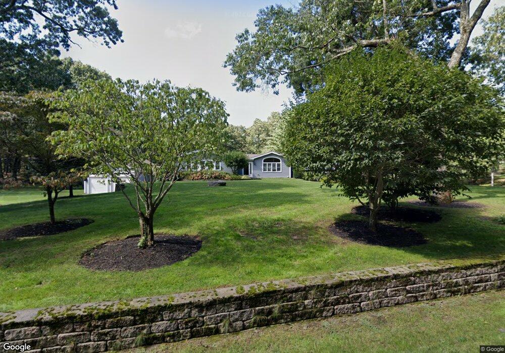
30 Whiting St Wrentham, MA 02093
Estimated Value: $730,000 - $1,103,000
3
Beds
4
Baths
3,277
Sq Ft
$282/Sq Ft
Est. Value
About This Home
This home is located at 30 Whiting St, Wrentham, MA 02093 and is currently estimated at $925,706, approximately $282 per square foot. 30 Whiting St is a home located in Norfolk County with nearby schools including Delaney Elementary School and Charles E Roderick.
Ownership History
Date
Name
Owned For
Owner Type
Purchase Details
Closed on
Oct 18, 2002
Sold by
Marcin Stephanie
Bought by
Marcin Christina
Current Estimated Value
Home Financials for this Owner
Home Financials are based on the most recent Mortgage that was taken out on this home.
Original Mortgage
$250,000
Outstanding Balance
$104,964
Interest Rate
6.18%
Mortgage Type
Purchase Money Mortgage
Estimated Equity
$820,742
Create a Home Valuation Report for This Property
The Home Valuation Report is an in-depth analysis detailing your home's value as well as a comparison with similar homes in the area
Home Values in the Area
Average Home Value in this Area
Purchase History
| Date | Buyer | Sale Price | Title Company |
|---|---|---|---|
| Marcin Christina | $287,000 | -- |
Source: Public Records
Mortgage History
| Date | Status | Borrower | Loan Amount |
|---|---|---|---|
| Open | Marcin Christina | $250,000 |
Source: Public Records
Tax History Compared to Growth
Tax History
| Year | Tax Paid | Tax Assessment Tax Assessment Total Assessment is a certain percentage of the fair market value that is determined by local assessors to be the total taxable value of land and additions on the property. | Land | Improvement |
|---|---|---|---|---|
| 2025 | $10,600 | $914,600 | $296,000 | $618,600 |
| 2024 | $9,946 | $828,800 | $296,000 | $532,800 |
| 2023 | $10,001 | $792,500 | $269,700 | $522,800 |
| 2022 | $9,717 | $710,800 | $216,000 | $494,800 |
| 2021 | $9,217 | $655,100 | $183,800 | $471,300 |
| 2020 | $8,899 | $624,500 | $153,200 | $471,300 |
| 2019 | $8,705 | $616,500 | $153,200 | $463,300 |
| 2018 | $8,521 | $598,400 | $152,900 | $445,500 |
| 2017 | $8,275 | $580,700 | $149,900 | $430,800 |
| 2016 | $8,184 | $573,100 | $145,600 | $427,500 |
| 2015 | $7,894 | $527,000 | $140,000 | $387,000 |
| 2014 | $7,765 | $507,200 | $134,600 | $372,600 |
Source: Public Records
Map
Nearby Homes
- 570 Franklin St
- 131 Creek St Unit 7
- 55 Lawrence Dr Unit 55
- Lot 3 - 14 Earle Stewart Ln
- 50 Reed Fulton Ave Unit Lot 61
- 6 Woodchester Rd
- Lot 1 - Blueberry 2 Car Plan at King Philip Estates
- Lot 8 - Blueberry 2 Car Plan at King Philip Estates
- Lot 5 - Hughes 2 car Plan at King Philip Estates
- Lot 6 - Blueberry 3 Car Plan at King Philip Estates
- Lot 2 - Camden 2 Car Plan at King Philip Estates
- Lot 7 - Cedar Plan at King Philip Estates
- Lot 4 - Hemingway 2 Car Plan at King Philip Estates
- Lot 3 - Blueberry 2 Car Plan at King Philip Estates
- 0 Fall Ln
- 11 Earle Stewart Ln
- 29 Lawrence Dr
- 440 Chestnut St
- 82 Uncas Ave Unit 1
- 70 Uncas Ave
- 20 Whiting St
- 70 Elysium St
- 68 Elysium St
- 74 Elysium St
- 60 Elysium St
- 108 Elysium St
- 58 Elysium St
- 54 Elysium St
- 118 Elysium St
- 44 Elysium St
- 5 Woolford Rd
- 1 Woolford Rd
- 12 Woolford Rd
- 40 Woolford Rd
- 50 Woolford Rd
- 9 Woolford Rd
- LOT J-09 Woolford Rd
- 20 Woolford Rd
- 10 Woolford Road (Rear)
- 10 Woolford Road (Rear)