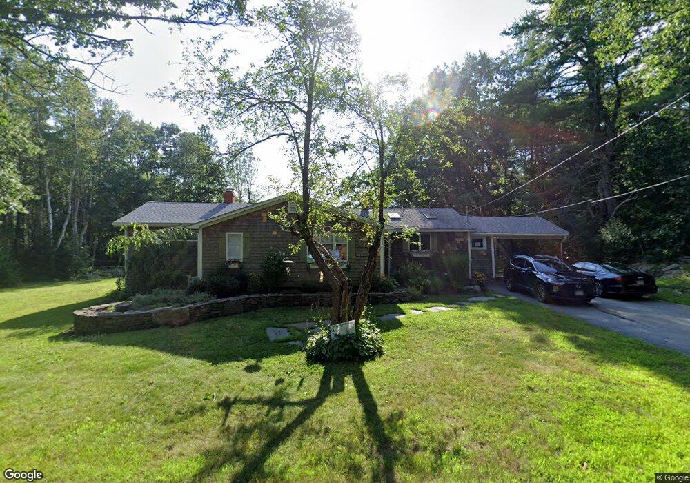
30 Whitten Hill Rd Kennebunkport, ME 04046
Estimated Value: $508,589 - $977,000
4
Beds
2
Baths
1,751
Sq Ft
$372/Sq Ft
Est. Value
About This Home
This home is located at 30 Whitten Hill Rd, Kennebunkport, ME 04046 and is currently estimated at $650,647, approximately $371 per square foot. 30 Whitten Hill Rd is a home located in York County with nearby schools including Kennebunk High School.
Ownership History
Date
Name
Owned For
Owner Type
Purchase Details
Closed on
Dec 17, 2021
Sold by
Church Bruce C
Bought by
Churchfli T
Current Estimated Value
Purchase Details
Closed on
Mar 1, 2010
Sold by
Mcdevitt Susan M
Bought by
Church Bruce C
Home Financials for this Owner
Home Financials are based on the most recent Mortgage that was taken out on this home.
Original Mortgage
$171,000
Interest Rate
5.11%
Mortgage Type
Unknown
Create a Home Valuation Report for This Property
The Home Valuation Report is an in-depth analysis detailing your home's value as well as a comparison with similar homes in the area
Home Values in the Area
Average Home Value in this Area
Purchase History
| Date | Buyer | Sale Price | Title Company |
|---|---|---|---|
| Churchfli T | -- | None Available | |
| Church Bruce C | -- | -- |
Source: Public Records
Mortgage History
| Date | Status | Borrower | Loan Amount |
|---|---|---|---|
| Previous Owner | Church Bruce C | $172,654 | |
| Previous Owner | Church Bruce C | $171,000 |
Source: Public Records
Tax History Compared to Growth
Tax History
| Year | Tax Paid | Tax Assessment Tax Assessment Total Assessment is a certain percentage of the fair market value that is determined by local assessors to be the total taxable value of land and additions on the property. | Land | Improvement |
|---|---|---|---|---|
| 2024 | $2,007 | $308,700 | $135,900 | $172,800 |
| 2023 | $1,929 | $308,700 | $135,900 | $172,800 |
| 2022 | $1,843 | $307,100 | $135,900 | $171,200 |
| 2021 | $2,098 | $218,500 | $81,000 | $137,500 |
| 2020 | $2,065 | $218,500 | $81,000 | $137,500 |
| 2019 | $2,065 | $218,500 | $81,000 | $137,500 |
| 2018 | $1,605 | $218,500 | $81,000 | $137,500 |
| 2017 | $1,901 | $218,500 | $81,000 | $137,500 |
| 2016 | $1,809 | $218,500 | $81,000 | $137,500 |
| 2015 | $1,605 | $218,500 | $81,000 | $137,500 |
| 2014 | $1,667 | $218,500 | $81,000 | $137,500 |
Source: Public Records
Map
Nearby Homes
- 286 Goose Rocks Rd
- Lot 11 Prospect Reserve Way
- Lot 1 Prospect Reserve Way
- 4 Prospect Reserve Way
- Lot 4 Prospect Reserve Way
- 0 Cole Benson Rd
- 20 Stone Rd
- 190 Mills Rd
- 245 Arundel Rd
- 373 Guinea Rd
- 32 Beaver Pond Rd
- 5 Dyke Rd Unit E
- 11 Acorn Ave
- 442 Kings Hwy
- 40 Wildwood Ave
- 4 Windward Ridge
- 0 Goosefair
- 6 Proctor Rd
- 1081 Kings Hwy
- 12 Forest Dr
- 38 Whitten Hill Rd
- 22 Whitten Hill Rd
- 23 Whitten Hill Rd
- 36 Whitten Hill Rd
- 39 Whitten Hill Rd
- 45 Whitten Hill Rd
- 9 Whitten Hill Rd
- 41 Whitten Hill Rd
- 54 Whitten Hill Rd
- 59 Whitten Hill Rd
- 2 Whitten Hill Rd
- 294 Goose Rocks Rd
- 63 Whitten Hill Rd
- 0 Oak Ridge Rd
- 289 Goose Rocks Rd
- 68 Whitten Hill Rd
- 292 Goose Rocks Rd
- Lot 9 Oak Ridge Rd
- 71 Whitten Hill Rd
- 310 Goose Rocks Rd