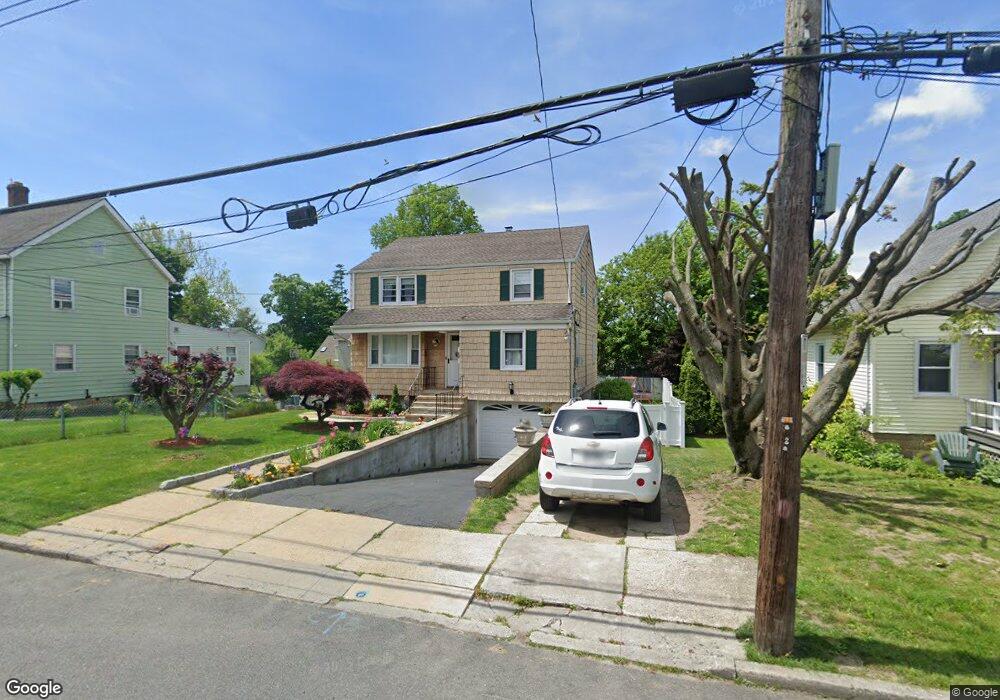
30 Woodland Ave Rye Brook, NY 10573
Estimated Value: $786,823 - $801,000
4
Beds
3
Baths
1,976
Sq Ft
$402/Sq Ft
Est. Value
About This Home
This home is located at 30 Woodland Ave, Rye Brook, NY 10573 and is currently estimated at $794,706, approximately $402 per square foot. 30 Woodland Ave is a home located in Westchester County with nearby schools including Port Chester Senior High School, Corpus Christi Holy Rosary School, and Westchester Fairfield Hebrew A.
Ownership History
Date
Name
Owned For
Owner Type
Purchase Details
Closed on
May 15, 2020
Sold by
Pelliccia Franca
Bought by
Blanco Yoni W and Blanco Karen F
Current Estimated Value
Home Financials for this Owner
Home Financials are based on the most recent Mortgage that was taken out on this home.
Original Mortgage
$498,750
Outstanding Balance
$441,962
Interest Rate
3.3%
Mortgage Type
New Conventional
Estimated Equity
$352,744
Create a Home Valuation Report for This Property
The Home Valuation Report is an in-depth analysis detailing your home's value as well as a comparison with similar homes in the area
Home Values in the Area
Average Home Value in this Area
Purchase History
| Date | Buyer | Sale Price | Title Company |
|---|---|---|---|
| Blanco Yoni W | $525,000 | Statewide Abstract Corp |
Source: Public Records
Mortgage History
| Date | Status | Borrower | Loan Amount |
|---|---|---|---|
| Open | Blanco Yoni W | $498,750 |
Source: Public Records
Tax History Compared to Growth
Tax History
| Year | Tax Paid | Tax Assessment Tax Assessment Total Assessment is a certain percentage of the fair market value that is determined by local assessors to be the total taxable value of land and additions on the property. | Land | Improvement |
|---|---|---|---|---|
| 2024 | $15,696 | $693,800 | $194,600 | $499,200 |
| 2023 | $13,014 | $667,100 | $185,300 | $481,800 |
| 2022 | $13,382 | $583,100 | $185,300 | $397,800 |
| 2021 | $14,171 | $539,900 | $185,300 | $354,600 |
| 2020 | $12,123 | $539,900 | $185,300 | $354,600 |
| 2019 | $18,499 | $498,800 | $159,700 | $339,100 |
| 2018 | $3,597 | $485,100 | $153,400 | $331,700 |
| 2017 | $1,470 | $457,100 | $148,500 | $308,600 |
| 2016 | $5,130 | $411,100 | $156,300 | $254,800 |
| 2015 | -- | $395,600 | $141,500 | $254,100 |
| 2014 | -- | $365,400 | $137,300 | $228,100 |
| 2013 | -- | $367,600 | $139,500 | $228,100 |
Source: Public Records
Map
Nearby Homes
- 11 Whittemore Place
- 10 Maywood Ave
- 22 Breckenridge Ave
- 485 Westchester Ave
- 15 Maywood Ave
- 180 Fairview Ave
- 431 Irving Ave
- 27 Avon Cir Unit C
- 24 Park Place
- 10 Irenhyl Ave
- 494 Franklin St
- 413 Franklin St
- 410 Westchester Ave Unit 202
- 395 Westchester Ave Unit LC
- 395 Westchester Ave Unit 3A
- 377 Westchester Ave Unit 6C
- 377 Westchester Ave Unit 5N
- 370 Westchester Ave Unit 7P
- 35 Summit Ave Unit 3H
- 244 S Ridge St
- 32 Woodland Ave
- 26 Woodland Ave Unit woodland
- 26 Woodland Ave
- 36 Woodland Ave
- 36 Woodland Ave Unit 1
- 33 Woodland Ave Unit 2
- 33 Woodland Ave
- 38 Woodland Ave
- 20 Woodland Ave
- 8 Hillcrest Ave
- 3 Whittemore Place
- 22 Hawthorne Ave
- 16 Woodland Ave
- 12 Hillcrest Ave
- 42 Woodland Ave Unit 44
- 26 Hawthorne Ave
- 2 Hillcrest Ave Unit 2
- 2 Hillcrest Ave Unit 1
- 2 Hillcrest Ave
- 16 Hillcrest Ave