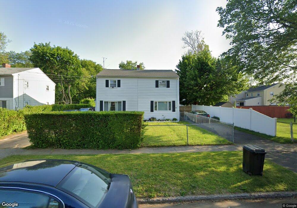
30 Wooster Ave Stratford, CT 06615
Stratford Center Historic District NeighborhoodEstimated Value: $226,000 - $267,000
2
Beds
1
Bath
952
Sq Ft
$263/Sq Ft
Est. Value
About This Home
This home is located at 30 Wooster Ave, Stratford, CT 06615 and is currently estimated at $250,657, approximately $263 per square foot. 30 Wooster Ave is a home located in Fairfield County with nearby schools including Stratford Academy - Johnson House, David Wooster Middle School, and Stratford High School.
Ownership History
Date
Name
Owned For
Owner Type
Purchase Details
Closed on
Jun 9, 2021
Sold by
Fairfield Cnty Hmbuyers
Bought by
Shei Properties Llc
Current Estimated Value
Purchase Details
Closed on
Apr 1, 2019
Sold by
Jackson Lillian
Bought by
Fairfield County Homebuyr
Purchase Details
Closed on
Jun 2, 1971
Bought by
Jackson Lillian
Create a Home Valuation Report for This Property
The Home Valuation Report is an in-depth analysis detailing your home's value as well as a comparison with similar homes in the area
Home Values in the Area
Average Home Value in this Area
Purchase History
| Date | Buyer | Sale Price | Title Company |
|---|---|---|---|
| Shei Properties Llc | -- | None Available | |
| Fairfield County Homebuyr | $70,000 | -- | |
| Jackson Lillian | -- | -- |
Source: Public Records
Tax History Compared to Growth
Tax History
| Year | Tax Paid | Tax Assessment Tax Assessment Total Assessment is a certain percentage of the fair market value that is determined by local assessors to be the total taxable value of land and additions on the property. | Land | Improvement |
|---|---|---|---|---|
| 2025 | $3,526 | $87,700 | $36,810 | $50,890 |
| 2024 | $3,526 | $87,700 | $36,810 | $50,890 |
| 2023 | $3,526 | $87,700 | $36,810 | $50,890 |
| 2022 | $3,461 | $87,700 | $36,810 | $50,890 |
| 2021 | $3,462 | $87,700 | $36,810 | $50,890 |
| 2020 | $3,476 | $87,700 | $36,810 | $50,890 |
| 2019 | $2,424 | $60,810 | $22,450 | $38,360 |
| 2018 | $2,426 | $60,810 | $22,450 | $38,360 |
| 2017 | $2,431 | $60,810 | $22,450 | $38,360 |
| 2016 | $2,371 | $60,810 | $22,450 | $38,360 |
| 2015 | $2,249 | $60,810 | $22,450 | $38,360 |
| 2014 | $2,244 | $62,990 | $23,020 | $39,970 |
Source: Public Records
Map
Nearby Homes
- 79 Wooster Ave
- 70 Guzzi Dr
- 291 Birdseye St
- 909 Main St
- 394 Harding Ave
- 325 Mckinley Ave
- 1260 Elm St
- 240 Placid Ave
- 161 Ryan Ave
- 107 Dewey St
- 216 Mckinley Ave
- 171 Boswell St
- 1170 South Ave
- 1460 Elm St Unit 322
- 1460 Elm St Unit 225
- 148 Columbus Ave
- 79 Boswell St
- 126 Garibaldi Ave
- 88 Boswell St
- 125 Garibaldi Ave
- 32 Wooster Ave
- 40 Wooster Ave
- 42 Wooster Ave
- 292 Mcgrath Ct
- 290 Mcgrath Ct
- 282 Mcgrath Ct
- 280 Mcgrath Ct
- 50 Wooster Ave
- 52 Wooster Ave
- 31 Wooster Ave
- 21 Wooster Ave
- 19 Wooster Ave
- 270 Mcgrath Ct
- 59 Wooster Ave
- 39 Wooster Ave
- 39 Wooster Ave Unit 1
- 41 Wooster Ave
- 272 Mcgrath Ct
- 49 Wooster Ave
- 29 Wooster Ave