300 Avalee Rd Brooks, GA 30205
Spalding County NeighborhoodEstimated Value: $320,144 - $407,000
2
Beds
2
Baths
1,683
Sq Ft
$213/Sq Ft
Est. Value
About This Home
This home is located at 300 Avalee Rd, Brooks, GA 30205 and is currently estimated at $359,036, approximately $213 per square foot. 300 Avalee Rd is a home located in Spalding County with nearby schools including Moreland Road Elementary School, Carver Road Middle School, and Griffin High School.
Ownership History
Date
Name
Owned For
Owner Type
Purchase Details
Closed on
May 18, 1987
Sold by
Atkinson Atkinson T and Atkinson Rhonda W
Bought by
Goddard Josie V
Current Estimated Value
Purchase Details
Closed on
Sep 26, 1979
Sold by
Freeman Ralph W
Bought by
Atkinson Atkinson T and Atkinson Rhonda
Purchase Details
Closed on
Jan 17, 1974
Sold by
Freeman Ralph W and Dalon Lambert D
Bought by
Freeman Ralph W
Create a Home Valuation Report for This Property
The Home Valuation Report is an in-depth analysis detailing your home's value as well as a comparison with similar homes in the area
Home Values in the Area
Average Home Value in this Area
Purchase History
| Date | Buyer | Sale Price | Title Company |
|---|---|---|---|
| Goddard Josie V | $7,200 | -- | |
| Atkinson Atkinson T | $4,100 | -- | |
| Freeman Ralph W | -- | -- |
Source: Public Records
Tax History
| Year | Tax Paid | Tax Assessment Tax Assessment Total Assessment is a certain percentage of the fair market value that is determined by local assessors to be the total taxable value of land and additions on the property. | Land | Improvement |
|---|---|---|---|---|
| 2025 | $4,162 | $118,148 | $11,971 | $106,177 |
| 2024 | $4,117 | $108,172 | $11,971 | $96,201 |
| 2023 | $3,805 | $108,172 | $11,971 | $96,201 |
| 2022 | $3,705 | $103,698 | $10,398 | $93,300 |
| 2021 | $2,921 | $82,137 | $5,620 | $76,517 |
| 2020 | $2,408 | $67,795 | $5,620 | $62,175 |
| 2019 | $2,456 | $67,795 | $5,620 | $62,175 |
| 2018 | $2,363 | $63,663 | $5,620 | $58,043 |
| 2017 | $2,299 | $63,663 | $5,620 | $58,043 |
| 2016 | $2,341 | $63,664 | $5,620 | $58,043 |
| 2015 | $2,411 | $63,664 | $5,620 | $58,043 |
| 2014 | $2,459 | $63,664 | $5,620 | $58,043 |
Source: Public Records
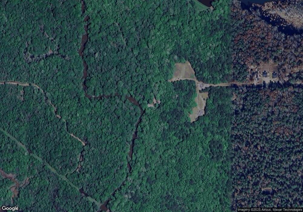
Map
Nearby Homes
- 240 Avalee Rd
- 210 Mockingbird Ln
- 161 Mockingbird Ln
- 30 Ashwood Ct
- 295 Staffin Dr
- 315 Staffin Dr
- 275 Staffin Dr
- 360 Staffin Dr
- 350 Staffin Dr
- 310 Staffin Dr
- 335 Staffin Dr
- 340 Staffin Dr
- 325 Staffin Dr
- 370 Staffin Dr
- 365 Staffin Dr
- 330 Staffin Dr
- 9902 Highway 16
- 100 Fairview Rd
- 190 Carl Williams Rd
- 605 Rowe Rd
Your Personal Tour Guide
Ask me questions while you tour the home.