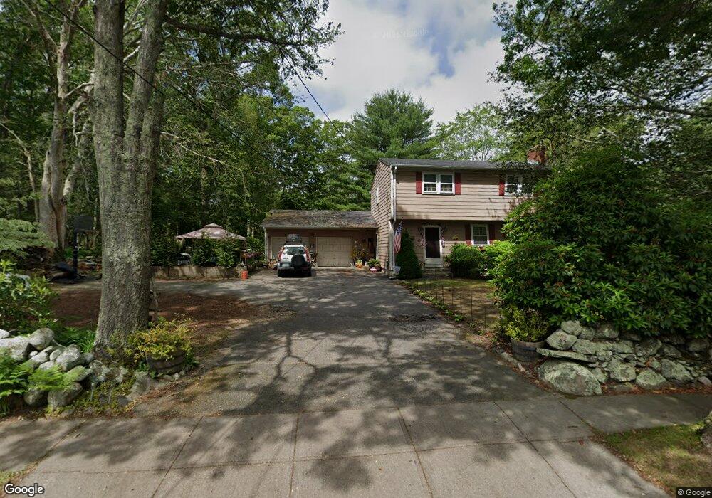
300 Broad Rock Rd Wakefield, RI 02879
Estimated Value: $611,704 - $706,000
3
Beds
3
Baths
1,440
Sq Ft
$463/Sq Ft
Est. Value
About This Home
This home is located at 300 Broad Rock Rd, Wakefield, RI 02879 and is currently estimated at $666,176, approximately $462 per square foot. 300 Broad Rock Rd is a home located in Washington County with nearby schools including South Kingstown High School, Monsignor Matthew Clarke Catholic Regional School, and Bradley School-South.
Ownership History
Date
Name
Owned For
Owner Type
Purchase Details
Closed on
May 23, 2002
Sold by
Demers Ronald J and Demers Dorine R
Bought by
Davis Michael J
Current Estimated Value
Home Financials for this Owner
Home Financials are based on the most recent Mortgage that was taken out on this home.
Original Mortgage
$217,550
Interest Rate
7.01%
Create a Home Valuation Report for This Property
The Home Valuation Report is an in-depth analysis detailing your home's value as well as a comparison with similar homes in the area
Home Values in the Area
Average Home Value in this Area
Purchase History
| Date | Buyer | Sale Price | Title Company |
|---|---|---|---|
| Davis Michael J | $229,000 | -- |
Source: Public Records
Mortgage History
| Date | Status | Borrower | Loan Amount |
|---|---|---|---|
| Open | Davis Michael J | $160,500 | |
| Closed | Davis Michael J | $188,000 | |
| Closed | Davis Michael J | $217,550 |
Source: Public Records
Tax History Compared to Growth
Tax History
| Year | Tax Paid | Tax Assessment Tax Assessment Total Assessment is a certain percentage of the fair market value that is determined by local assessors to be the total taxable value of land and additions on the property. | Land | Improvement |
|---|---|---|---|---|
| 2025 | $4,089 | $457,400 | $218,200 | $239,200 |
| 2024 | $4,051 | $366,600 | $160,900 | $205,700 |
| 2023 | $4,051 | $366,600 | $160,900 | $205,700 |
| 2022 | $4,014 | $366,600 | $160,900 | $205,700 |
| 2021 | $3,945 | $273,000 | $116,600 | $156,400 |
| 2020 | $3,945 | $273,000 | $116,600 | $156,400 |
| 2019 | $3,945 | $273,000 | $116,600 | $156,400 |
| 2018 | $3,956 | $252,300 | $110,800 | $141,500 |
| 2017 | $3,863 | $252,300 | $110,800 | $141,500 |
| 2016 | $3,807 | $252,300 | $110,800 | $141,500 |
| 2015 | $3,784 | $243,800 | $106,000 | $137,800 |
| 2014 | $3,774 | $243,800 | $106,000 | $137,800 |
Source: Public Records
Map
Nearby Homes
- 70 Broad Rock Rd
- 40 Amos St
- 128 North Rd
- 3 Larkin St
- 73 Camden Ct
- 128 Camden Ct
- 918 Saugatucket Rd
- 156 River St Unit B
- 957 Saugatucket Rd
- 48 Stone Bridge Dr
- 10 Hendricks St
- 37 Columbia St
- 45 Cherry Ln Unit C
- 39 Hazard Ave
- 53 Rocky Brook Way
- 228 Rodman St
- 229 Saugatucket Rd
- 128 Rodman St
- 115 Dam St
- 17 Celestial Heights Dr
- 14 Arbor Way
- 284 Broad Rock Rd
- 291 Broad Rock Rd
- 322 Broad Rock Rd
- 274 Broad Rock Rd
- 15 Arbor Way
- 32 Arbor Way
- 281 Broad Rock Rd
- 14 Greybirch Ct
- 27 Arbor Way
- 271 Broad Rock Rd
- 260 Broad Rock Rd
- 35 Greybirch Ct
- 425 Oakwoods Dr
- 41 Arbor Way
- 415 Oakwoods Dr
- 250 Broad Rock Rd
- 43 Spruce Ct
- 7 Greybirch Ct
- 37 Spruce Ct