300 Bronco Rd Florence, SC 29501
Estimated Value: $556,983 - $596,000
4
Beds
3
Baths
3,582
Sq Ft
$160/Sq Ft
Est. Value
About This Home
This home is located at 300 Bronco Rd, Florence, SC 29501 and is currently estimated at $574,746, approximately $160 per square foot. 300 Bronco Rd is a home with nearby schools including Lucy T. Davis Elementary School, Henry L. Sneed Middle School, and John W. Moore Middle School.
Ownership History
Date
Name
Owned For
Owner Type
Purchase Details
Closed on
Sep 17, 2020
Sold by
Thomar Robert L and Thomas Kathryn R
Bought by
Thomas Andrea C and Thomas Robert L
Current Estimated Value
Home Financials for this Owner
Home Financials are based on the most recent Mortgage that was taken out on this home.
Original Mortgage
$380,000
Outstanding Balance
$336,599
Interest Rate
2.8%
Mortgage Type
New Conventional
Estimated Equity
$238,147
Purchase Details
Closed on
Feb 24, 2018
Sold by
Thomas Robert L and Thomas Robert L
Bought by
Thomas Robert L and Thomas Kathryn R
Create a Home Valuation Report for This Property
The Home Valuation Report is an in-depth analysis detailing your home's value as well as a comparison with similar homes in the area
Home Values in the Area
Average Home Value in this Area
Purchase History
| Date | Buyer | Sale Price | Title Company |
|---|---|---|---|
| Thomas Andrea C | $475,000 | None Available | |
| Thomas Andrea C | $475,000 | Finklea Hendrick & Blake Llc | |
| Thomas Robert L | -- | None Available |
Source: Public Records
Mortgage History
| Date | Status | Borrower | Loan Amount |
|---|---|---|---|
| Open | Thomas Andrea C | $380,000 | |
| Closed | Thomas Andrea C | $380,000 |
Source: Public Records
Tax History Compared to Growth
Tax History
| Year | Tax Paid | Tax Assessment Tax Assessment Total Assessment is a certain percentage of the fair market value that is determined by local assessors to be the total taxable value of land and additions on the property. | Land | Improvement |
|---|---|---|---|---|
| 2024 | $2,205 | $21,105 | $1,000 | $20,105 |
| 2023 | $1,968 | $18,805 | $1,000 | $17,805 |
| 2022 | $2,257 | $18,805 | $1,000 | $17,805 |
| 2021 | $2,437 | $18,810 | $0 | $0 |
| 2020 | $1,578 | $13,860 | $0 | $0 |
| 2019 | $106 | $1,000 | $0 | $0 |
Source: Public Records
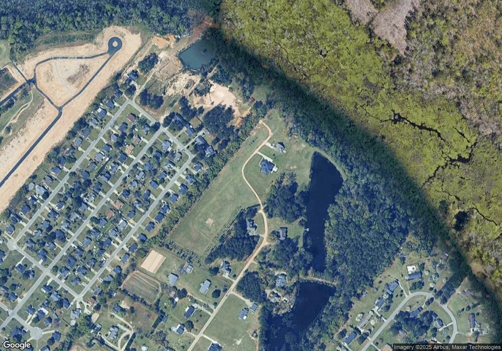
Map
Nearby Homes
- 345 Magna Carta Rd
- Woodhaven Plan at Brookshire - Stonehill Collection
- Idlewood Plan at Brookshire - Stonehill Collection
- Newlin Plan at Brookshire - Watermill Collection
- Beckman Plan at Brookshire - Watermill Collection
- Lookout Plan at Brookshire - Stonehill Collection
- Pearce Plan at Brookshire - Watermill Collection
- 3821 Ashwood Ln
- 3703 State Road S-21-1389
- 608 Stoneybrook Terrace
- 1728 Oakdale Terrace Blvd
- 408 S Addison St
- 711 Harriett Dr
- 1956 Belardi Vera Dr
- 1973 Belardi Vera Dr
- 1972 Belardi Vera Dr
- 1958 Belardi Vera Dr
- 1954 Belardi Vera Dr
- 708 Muirfield Place
- 4145 Rodanthe Cir
- 294 S Bronco Rd
- 296 Bristol St
- 307 Bronco Rd
- 300 Bristol St
- 292 Bristol St
- 308 Bronco Rd
- 304 Bristol St
- 308 Bristol St
- 288 Bristol St
- 303 Bristol St
- 312 Bristol St
- 305 Bristol St
- 284 Bristol St
- 309 Bristol St
- 300 Magna Carta Rd
- 316 Bristol St
- 319 Bronco Rd
- 304 Magna Carta Rd
- 316 Bronco Rd
- 313 Bristol St