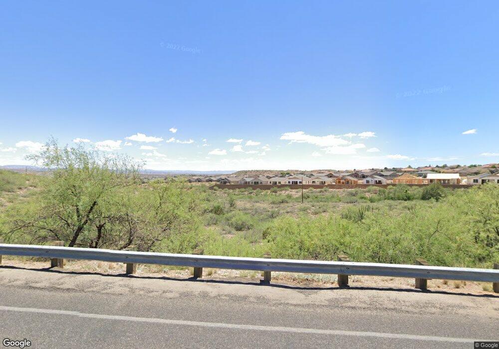
300 Clarkdale Pkwy Clarkdale, AZ 86324
Estimated Value: $594,835
--
Bed
--
Bath
--
Sq Ft
11.63
Acres
About This Home
This home is located at 300 Clarkdale Pkwy, Clarkdale, AZ 86324 and is currently estimated at $594,835. 300 Clarkdale Pkwy is a home located in Yavapai County with nearby schools including Clarkdale-Jerome Elementary School, Mingus Union High School, and Verde Christian Academy.
Ownership History
Date
Name
Owned For
Owner Type
Purchase Details
Closed on
May 19, 2000
Sold by
Clarkdale Properties Llc
Bought by
Amelia/Tenth Llc
Current Estimated Value
Purchase Details
Closed on
Jun 17, 1999
Sold by
Dawson Carolyn A
Bought by
Clarkdale Properties Llc
Home Financials for this Owner
Home Financials are based on the most recent Mortgage that was taken out on this home.
Original Mortgage
$120,000
Interest Rate
7.05%
Mortgage Type
Seller Take Back
Purchase Details
Closed on
Mar 24, 1999
Sold by
Dawson Matthew William
Bought by
Dawson Carolyn Ann
Create a Home Valuation Report for This Property
The Home Valuation Report is an in-depth analysis detailing your home's value as well as a comparison with similar homes in the area
Home Values in the Area
Average Home Value in this Area
Purchase History
| Date | Buyer | Sale Price | Title Company |
|---|---|---|---|
| Amelia/Tenth Llc | $166,000 | Transnation Title Ins Co | |
| Clarkdale Properties Llc | $150,000 | Transnation Title Ins Co | |
| Dawson Carolyn Ann | -- | -- |
Source: Public Records
Mortgage History
| Date | Status | Borrower | Loan Amount |
|---|---|---|---|
| Previous Owner | Clarkdale Properties Llc | $120,000 |
Source: Public Records
Tax History Compared to Growth
Tax History
| Year | Tax Paid | Tax Assessment Tax Assessment Total Assessment is a certain percentage of the fair market value that is determined by local assessors to be the total taxable value of land and additions on the property. | Land | Improvement |
|---|---|---|---|---|
| 2026 | $3,708 | -- | -- | -- |
| 2024 | $3,632 | -- | -- | -- |
| 2023 | $3,632 | $34,089 | $34,089 | $0 |
| 2022 | $3,573 | $34,089 | $34,089 | $0 |
| 2021 | $3,623 | $34,089 | $34,089 | $0 |
| 2020 | $3,545 | $0 | $0 | $0 |
| 2019 | $3,472 | $0 | $0 | $0 |
| 2018 | $3,322 | $0 | $0 | $0 |
| 2017 | $3,362 | $0 | $0 | $0 |
| 2016 | $3,426 | $0 | $0 | $0 |
| 2015 | -- | $0 | $0 | $0 |
| 2014 | -- | $0 | $0 | $0 |
Source: Public Records
Map
Nearby Homes
- 383 Malachite Dr
- 379 Malachite Dr
- 377 Malachite Dr
- 834 Eugene Rd
- 839 Eugene Rd
- 371 Malachite Dr
- 832 Eugene Rd
- 1399 3rd South St
- 833 Eugene Rd
- 455 Phelps Dr
- 803 Alfonse Rd
- 493 Miners Gulch Dr
- 490 Miners Gulch Dr
- 103 S Thirteenth St
- 699 Moore Gulch Rd Unit Lot 117
- 306 Spirit Cir
- 608 Bootleg Rd
- 695 Moore Gulch Rd Unit Lot 120
- 606 Tapco Ln
- 535 Cleopatra Hill Rd