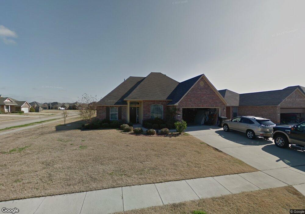
300 Cotton Pointe Bossier City, LA 71112
South Bossier NeighborhoodEstimated Value: $244,000 - $327,000
4
Beds
3
Baths
2,400
Sq Ft
$124/Sq Ft
Est. Value
About This Home
This home is located at 300 Cotton Pointe, Bossier City, LA 71112 and is currently estimated at $296,644, approximately $123 per square foot. 300 Cotton Pointe is a home located in Bossier Parish with nearby schools including Sun City Elementary School, Curtis Elementary School, and Elm Grove Middle School.
Ownership History
Date
Name
Owned For
Owner Type
Purchase Details
Closed on
May 9, 2024
Sold by
Michael King Joshua and Cabonilas Iny
Bought by
King Family Trust and King
Current Estimated Value
Purchase Details
Closed on
May 25, 2011
Sold by
Southern Homes Builders Inc
Bought by
King Joshua Michael and King Incy Caboilas
Home Financials for this Owner
Home Financials are based on the most recent Mortgage that was taken out on this home.
Original Mortgage
$273,251
Interest Rate
4.85%
Mortgage Type
VA
Create a Home Valuation Report for This Property
The Home Valuation Report is an in-depth analysis detailing your home's value as well as a comparison with similar homes in the area
Home Values in the Area
Average Home Value in this Area
Purchase History
| Date | Buyer | Sale Price | Title Company |
|---|---|---|---|
| King Family Trust | -- | None Listed On Document | |
| King Joshua Michael | $267,500 | None Available |
Source: Public Records
Mortgage History
| Date | Status | Borrower | Loan Amount |
|---|---|---|---|
| Previous Owner | King Joshua Michael | $273,251 |
Source: Public Records
Tax History Compared to Growth
Tax History
| Year | Tax Paid | Tax Assessment Tax Assessment Total Assessment is a certain percentage of the fair market value that is determined by local assessors to be the total taxable value of land and additions on the property. | Land | Improvement |
|---|---|---|---|---|
| 2024 | $2,800 | $29,232 | $3,300 | $25,932 |
| 2023 | $2,372 | $24,401 | $3,000 | $21,401 |
| 2022 | $1,812 | $24,401 | $3,000 | $21,401 |
| 2021 | $551 | $24,401 | $3,000 | $21,401 |
| 2020 | $1,810 | $24,401 | $3,000 | $21,401 |
| 2019 | $1,838 | $24,410 | $3,000 | $21,410 |
| 2018 | $1,838 | $24,410 | $3,000 | $21,410 |
| 2017 | $2,370 | $24,410 | $3,000 | $21,410 |
| 2016 | $2,370 | $24,410 | $3,000 | $21,410 |
| 2015 | $557 | $24,480 | $3,000 | $21,480 |
| 2014 | $557 | $24,480 | $3,000 | $21,480 |
Source: Public Records
Map
Nearby Homes
- 2023 Pluto Dr
- 238 Avondale Ln
- 1911 General Jackson Place
- 2002 General Jackson Place
- 1701 Avondale Ct
- 466 Jordan Dr
- 4717 General Ewell Dr
- 1957 Rossie Lee Dr
- 5322 Jonquil St
- 1943 Rossie Lee Dr
- 1945 Rossie Lee Dr
- 000 Rossie Lee Dr
- 4210 Mike St
- 2129 Rossie Lee Dr
- 4808 General Scott Place
- 523 Columbia Cir
- 1904 Carol St
- 1931 Alfred Ln
- 1711 Alison Ave
- 1906 Ray Ave
- 302 Cotton Pointe
- 304 Cotton Pointe
- 401 Jordan Dr
- 403 Jordan Dr
- 278 Avondale Ln
- 405 Jordan Dr
- 306 Cotton Pointe
- 276 Avondale Ln
- 301 Cotton Pointe
- 274 Avondale Ln
- 407 Jordan Dr
- 308 Cotton Pointe
- 305 Cotton Pointe
- 307 Cotton Pointe
- 409 Jordan Dr
- 310 Cotton Pointe
- 309 Cotton Pointe
- 2107 Orbit Dr
- 285 Avondale Ln
- 288 Avondale Ln