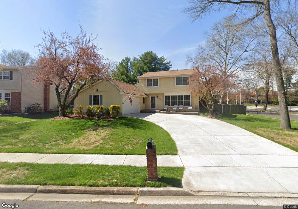
300 Custer Ct Mount Laurel, NJ 08054
Estimated Value: $454,559 - $624,000
Studio
--
Bath
2,226
Sq Ft
$249/Sq Ft
Est. Value
About This Home
This home is located at 300 Custer Ct, Mount Laurel, NJ 08054 and is currently estimated at $554,390, approximately $249 per square foot. 300 Custer Ct is a home located in Burlington County with nearby schools including Hillside Elementary School, T.E. Harrington Middle School, and Mount Laurel Hartford School.
Ownership History
Date
Name
Owned For
Owner Type
Purchase Details
Closed on
May 31, 2002
Sold by
Wood John W and Wood Christine Noel
Bought by
Cicali Carl F and Cicali Wendy A
Current Estimated Value
Home Financials for this Owner
Home Financials are based on the most recent Mortgage that was taken out on this home.
Original Mortgage
$18,000
Outstanding Balance
$7,690
Interest Rate
6.82%
Mortgage Type
Credit Line Revolving
Estimated Equity
$546,700
Create a Home Valuation Report for This Property
The Home Valuation Report is an in-depth analysis detailing your home's value as well as a comparison with similar homes in the area
Home Values in the Area
Average Home Value in this Area
Purchase History
| Date | Buyer | Sale Price | Title Company |
|---|---|---|---|
| Cicali Carl F | $213,000 | Security First Title Partner |
Source: Public Records
Mortgage History
| Date | Status | Borrower | Loan Amount |
|---|---|---|---|
| Open | Cicali Carl F | $18,000 | |
| Open | Cicali Carl F | $170,000 |
Source: Public Records
Tax History
| Year | Tax Paid | Tax Assessment Tax Assessment Total Assessment is a certain percentage of the fair market value that is determined by local assessors to be the total taxable value of land and additions on the property. | Land | Improvement |
|---|---|---|---|---|
| 2025 | $8,464 | $268,100 | $81,500 | $186,600 |
| 2024 | $8,145 | $268,100 | $81,500 | $186,600 |
| 2023 | $8,145 | $268,100 | $81,500 | $186,600 |
| 2022 | $8,118 | $268,100 | $81,500 | $186,600 |
| 2021 | $7,965 | $268,100 | $81,500 | $186,600 |
| 2020 | $7,810 | $268,100 | $81,500 | $186,600 |
| 2019 | $7,729 | $268,100 | $81,500 | $186,600 |
| 2018 | $7,670 | $268,100 | $81,500 | $186,600 |
| 2017 | $7,472 | $268,100 | $81,500 | $186,600 |
| 2016 | $7,326 | $266,900 | $81,500 | $185,400 |
| 2015 | $7,241 | $266,900 | $81,500 | $185,400 |
| 2014 | $7,169 | $266,900 | $81,500 | $185,400 |
Source: Public Records
Map
Nearby Homes
- 840 Lafayette Dr
- 517 Perry Dr
- 4510 Church Rd
- 32 Hearthstone Ln
- 17 White Stone Ct
- 23 Emory Ln
- 6 Panorama Ct
- 12 Taconia Ct
- 11 Claret Ct
- 14 Merlot Ct
- 4873 Church Rd
- 614 Augusta Cir Unit 614
- 98B Red Cedar Ct
- 104B Sumac Ct Unit 104B
- 23 E Oleander Dr
- 20 Rose Ct
- 109 Yorktown Dr
- 712 Tranquility Turn
- 377 N Locust Ave
- 3 Avandale Ct
- 302 Custer Ct
- 304 Custer Ct
- 332 Custer Ct
- 330 Custer Ct
- 1103 Union Mill Rd
- 306 Custer Ct
- 328 Custer Ct
- 1094 Union Mill Rd
- 1107 Union Mill Rd
- 326 Custer Ct
- 308 Custer Ct
- 110 Farnwood Rd
- 112 Farnwood Rd
- 114 Farnwood Rd
- 2 Stoney Hill Ln
- 66 Southgate Dr
- 116 Farnwood Rd
- 64 Southgate Dr
- 68 Southgate Dr
- 324 Custer Ct
Your Personal Tour Guide
Ask me questions while you tour the home.