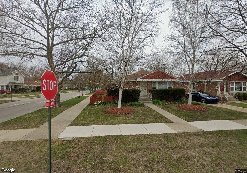
300 Dewey Ave Evanston, IL 60202
Estimated Value: $375,000 - $493,000
3
Beds
2
Baths
1,080
Sq Ft
$401/Sq Ft
Est. Value
About This Home
This home is located at 300 Dewey Ave, Evanston, IL 60202 and is currently estimated at $433,403, approximately $401 per square foot. 300 Dewey Ave is a home located in Cook County with nearby schools including Dawes Elementary School, Chute Middle School, and Evanston Township High School.
Ownership History
Date
Name
Owned For
Owner Type
Purchase Details
Closed on
Jul 15, 1999
Sold by
Mulcaire Terence M and Mulcaire Valerie Dumbrava
Bought by
Smith Gary
Current Estimated Value
Home Financials for this Owner
Home Financials are based on the most recent Mortgage that was taken out on this home.
Original Mortgage
$158,950
Outstanding Balance
$43,855
Interest Rate
7.37%
Estimated Equity
$389,548
Purchase Details
Closed on
Dec 15, 1995
Sold by
Hoffman Donald J and Hoffman Joan M
Bought by
Mulcaire Terence Michael and Mulcaire Valerie Dumbrava
Home Financials for this Owner
Home Financials are based on the most recent Mortgage that was taken out on this home.
Original Mortgage
$126,300
Interest Rate
7%
Create a Home Valuation Report for This Property
The Home Valuation Report is an in-depth analysis detailing your home's value as well as a comparison with similar homes in the area
Home Values in the Area
Average Home Value in this Area
Purchase History
| Date | Buyer | Sale Price | Title Company |
|---|---|---|---|
| Smith Gary | $187,000 | -- | |
| Mulcaire Terence Michael | $133,000 | -- |
Source: Public Records
Mortgage History
| Date | Status | Borrower | Loan Amount |
|---|---|---|---|
| Open | Smith Gary | $158,950 | |
| Previous Owner | Mulcaire Terence Michael | $126,300 |
Source: Public Records
Tax History Compared to Growth
Tax History
| Year | Tax Paid | Tax Assessment Tax Assessment Total Assessment is a certain percentage of the fair market value that is determined by local assessors to be the total taxable value of land and additions on the property. | Land | Improvement |
|---|---|---|---|---|
| 2024 | $2,266 | $35,001 | $8,305 | $26,696 |
| 2023 | $2,243 | $35,001 | $8,305 | $26,696 |
| 2022 | $2,243 | $35,001 | $8,305 | $26,696 |
| 2021 | $2,496 | $25,075 | $6,039 | $19,036 |
| 2020 | $2,293 | $25,075 | $6,039 | $19,036 |
| 2019 | $2,268 | $28,017 | $6,039 | $21,978 |
| 2018 | $2,658 | $21,741 | $5,033 | $16,708 |
| 2017 | $2,542 | $23,879 | $5,033 | $18,846 |
| 2016 | $3,097 | $23,879 | $5,033 | $18,846 |
| 2015 | $3,451 | $17,188 | $4,152 | $13,036 |
| 2014 | $3,443 | $17,188 | $4,152 | $13,036 |
| 2013 | $4,521 | $19,812 | $4,152 | $15,660 |
Source: Public Records
Map
Nearby Homes
- 309 Darrow Ave
- 325 Dodge Ave
- 401 Dewey Ave
- 215 Brown Ave
- 347 Florence Ave
- 1726 Dobson St
- 1615 W Howard St Unit 303
- 419 Florence Ave
- 2011 Brummel St
- 1406 Brummel St
- 235 Richmond St
- 1810 South Blvd
- 220 Richmond St
- 2130 Brummel St
- 1927 Warren St
- 1214 Hull Terrace
- 1217 Hull Terrace Unit 3A
- 604 Dodge Ave
- 1200 Dobson St
- 1408 Seward St
- 306 Dewey Ave
- 308 Dewey Ave
- 1713 Mulford St
- 310 Dewey Ave
- 1704 Mulford St
- 1706 Mulford St
- 1700 Mulford St
- 314 Dewey Ave
- 1708 Mulford St
- 1717 Mulford St
- 1630 Mulford St
- 1712 Mulford St
- 1628 Mulford St
- 1716 Mulford St
- 320 Dewey Ave
- 1624 Mulford St
- 311 Darrow Ave
- 1720 Mulford St
- 322 Dewey Ave
- 315 Darrow Ave