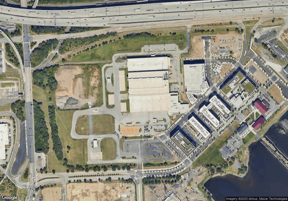
300 E Cromwell St Baltimore, MD 21230
Estimated Value: $41,414,528
Studio
--
Bath
500
Sq Ft
$82,829/Sq Ft
Est. Value
About This Home
This home is located at 300 E Cromwell St, Baltimore, MD 21230 and is currently estimated at $41,414,528, approximately $82,829 per square foot. 300 E Cromwell St is a home located in Baltimore City with nearby schools including Thomas Johnson Elementary School, Booker T. Washington Middle School, and Paul Laurence Dunbar High School.
Ownership History
Date
Name
Owned For
Owner Type
Purchase Details
Closed on
Dec 18, 2014
Sold by
The Baltimore Sun Company Llc
Bought by
Md Sun Park Llc
Current Estimated Value
Purchase Details
Closed on
Dec 10, 2012
Sold by
Tribune Company
Bought by
Mid Sun Park Llc
Purchase Details
Closed on
May 12, 2008
Sold by
Tmct Llc
Bought by
Tribune Company
Create a Home Valuation Report for This Property
The Home Valuation Report is an in-depth analysis detailing your home's value as well as a comparison with similar homes in the area
Purchase History
| Date | Buyer | Sale Price | Title Company |
|---|---|---|---|
| Md Sun Park Llc | -- | Chicago Title Insurance Co | |
| Mid Sun Park Llc | -- | Chicago Title Insurance Co | |
| Tribune Company | $20,924,554 | -- |
Source: Public Records
Tax History Compared to Growth
Tax History
| Year | Tax Paid | Tax Assessment Tax Assessment Total Assessment is a certain percentage of the fair market value that is determined by local assessors to be the total taxable value of land and additions on the property. | Land | Improvement |
|---|---|---|---|---|
| 2025 | $121,764 | $5,184,200 | $4,739,000 | $445,200 |
| 2024 | $121,764 | $5,184,200 | $4,739,000 | $445,200 |
| 2023 | $496,068 | $21,120,400 | $4,739,000 | $16,381,400 |
| 2022 | $498,441 | $21,120,400 | $4,739,000 | $16,381,400 |
| 2021 | $498,441 | $21,120,400 | $4,739,000 | $16,381,400 |
| 2020 | $543,128 | $23,013,900 | $4,739,000 | $18,274,900 |
| 2019 | $534,161 | $22,742,267 | $0 | $0 |
| 2018 | $525,522 | $22,267,867 | $0 | $0 |
| 2017 | $487,151 | $20,642,000 | $0 | $0 |
| 2016 | $900,091 | $20,642,000 | $0 | $0 |
| 2015 | $900,091 | $20,642,000 | $0 | $0 |
| 2014 | $900,091 | $21,000,000 | $0 | $0 |
Source: Public Records
Map
Nearby Homes
- 105 Cromwell St Unit A
- 111 Cromwell St Unit A
- 109 E Cromwell St Unit A
- 107 Cromwell St Unit A
- 117B E Cromwell St
- 117B E Cromwell St Unit 2010
- 109 E Cromwell St Unit 1006
- 126B Locke St Mews
- 124B Locke St Mews
- 120B Locke St Mews Unit 2025
- 118B Locke St Mews
- 128 Locke St Unit 2029
- 128 Locke St Unit B
- 105 E Cromwell St Unit 1004
- 107 E Cromwell St Unit 1005
- 111 E Cromwell St Unit 1007
- Maywood Plan at Locke Landing
- Montvale Plan at Locke Landing
- Rockland Plan at Locke Landing
- Bridgton Plan at Locke Landing
- 200 E Cromwell St
- 100 E Cromwell St
- 2506 A W Peninsula Dr
- TBB Light St Unit ROCKLAND
- 2512 A W Peninsula Dr
- TBB Locke St Unit BRIDGTON
- 139 Locke St
- 32 Locke St
- 159 Locke St
- 50 Locke St
- 124A Locke St Mews
- 120B Locke St Mews
- 2502B W Peninsula Dr
- 122B Locke St Mews
- 2506A W Peninsula Dr
- 2618B W Peninsula Dr
- 2502A W Peninsula Dr
- 2500B W Peninsula Dr
- 2514A W Peninsula Dr
- 2512A W Peninsula Dr
