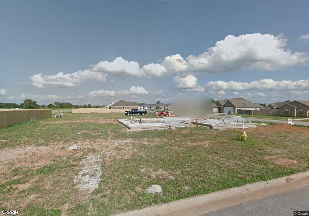
300 Emery Blvd Pea Ridge, AR 72751
Estimated Value: $366,859 - $397,000
2
Beds
2
Baths
1,882
Sq Ft
$201/Sq Ft
Est. Value
About This Home
This home is located at 300 Emery Blvd, Pea Ridge, AR 72751 and is currently estimated at $378,215, approximately $200 per square foot. 300 Emery Blvd is a home located in Benton County with nearby schools including Pea Ridge Primary School, Pea Ridge Intermediate School, and Pea Ridge Middle School.
Ownership History
Date
Name
Owned For
Owner Type
Purchase Details
Closed on
Sep 15, 2014
Sold by
Castoe Construction Inc
Bought by
Paul L & Marilyn J Whisenhant Trust
Current Estimated Value
Home Financials for this Owner
Home Financials are based on the most recent Mortgage that was taken out on this home.
Original Mortgage
$133,060
Outstanding Balance
$101,866
Interest Rate
4.14%
Mortgage Type
New Conventional
Estimated Equity
$276,349
Purchase Details
Closed on
Dec 14, 2011
Bought by
Southwest Cattlemen'S Corp
Create a Home Valuation Report for This Property
The Home Valuation Report is an in-depth analysis detailing your home's value as well as a comparison with similar homes in the area
Home Values in the Area
Average Home Value in this Area
Purchase History
| Date | Buyer | Sale Price | Title Company |
|---|---|---|---|
| Paul L & Marilyn J Whisenhant Trust | $109,786 | Waco Title | |
| Southwest Cattlemen'S Corp | -- | -- |
Source: Public Records
Mortgage History
| Date | Status | Borrower | Loan Amount |
|---|---|---|---|
| Open | Paul L & Marilyn J Whisenhant Trust | $133,060 |
Source: Public Records
Tax History Compared to Growth
Tax History
| Year | Tax Paid | Tax Assessment Tax Assessment Total Assessment is a certain percentage of the fair market value that is determined by local assessors to be the total taxable value of land and additions on the property. | Land | Improvement |
|---|---|---|---|---|
| 2025 | $1,689 | $73,674 | $6,400 | $67,274 |
| 2024 | $1,733 | $73,674 | $6,400 | $67,274 |
| 2023 | $1,733 | $48,190 | $5,600 | $42,590 |
| 2022 | $1,434 | $48,190 | $5,600 | $42,590 |
| 2021 | $1,417 | $48,190 | $5,600 | $42,590 |
| 2020 | $1,476 | $36,250 | $2,800 | $33,450 |
| 2019 | $1,476 | $36,250 | $2,800 | $33,450 |
| 2018 | $1,501 | $36,250 | $2,800 | $33,450 |
| 2017 | $1,383 | $36,250 | $2,800 | $33,450 |
| 2016 | $1,383 | $36,250 | $2,800 | $33,450 |
| 2015 | $1,733 | $30,450 | $4,000 | $26,450 |
| 2014 | $228 | $4,000 | $4,000 | $0 |
Source: Public Records
Map
Nearby Homes
- 208 Wilson Blvd
- 1805 Gaines St
- 1804 Gaines St
- 200 Wilson Blvd
- 108 Dobson St
- 1714 Farmer St
- 1716 Farmer St
- 1718 Farmer St
- 1720 Farmer St
- 1722 Farmer St
- 0 Slack & Crawford Streets Unit 1303599
- 1303 Spruce St
- 1717 Farmer St
- 1719 Farmer St
- 1721 Farmer St
- 1723 Farmer St
- 1804 Edwards St
- 1317 Bunker Dr
- 1307 Hickery St
- 1713 Farmer St
- 1104 Mitchell Ln
- 1107 Taylor Ln
- 302 Emery Blvd
- 1105 Taylor Ln
- 301 Emery Blvd
- 1107 Mitchell Ln
- 303 Emery Blvd
- 205 Emery Blvd
- 1105 Mitchell Ln
- 1102 Mitchell Ln
- 1103 Taylor Ln
- 305 Emery Blvd
- 203 Emery Blvd
- 1103 Mitchell Ln
- 1106 Griffin Ln
- 1106 Taylor Ln
- 1100 Mitchell Ln
- 1104 Griffin Ln
- 1104 Taylor Ln
- 1101 Taylor Ln