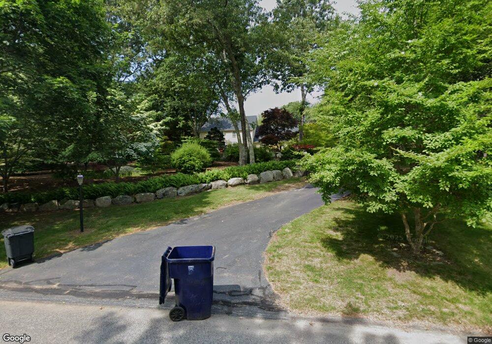
300 Finch Ln Saunderstown, RI 02874
Saunderstown NeighborhoodEstimated Value: $1,229,677 - $2,142,000
4
Beds
3
Baths
3,250
Sq Ft
$451/Sq Ft
Est. Value
About This Home
This home is located at 300 Finch Ln, Saunderstown, RI 02874 and is currently estimated at $1,464,919, approximately $450 per square foot. 300 Finch Ln is a home located in Washington County with nearby schools including Hamilton Elementary School, Wickford Middle School, and North Kingstown Sr. High School.
Ownership History
Date
Name
Owned For
Owner Type
Purchase Details
Closed on
Jul 5, 2001
Sold by
Quail Hollow Assoc Lp
Bought by
David A Cote Bldrs Inc
Current Estimated Value
Home Financials for this Owner
Home Financials are based on the most recent Mortgage that was taken out on this home.
Original Mortgage
$444,000
Outstanding Balance
$167,997
Interest Rate
7.21%
Estimated Equity
$1,296,922
Create a Home Valuation Report for This Property
The Home Valuation Report is an in-depth analysis detailing your home's value as well as a comparison with similar homes in the area
Home Values in the Area
Average Home Value in this Area
Purchase History
| Date | Buyer | Sale Price | Title Company |
|---|---|---|---|
| David A Cote Bldrs Inc | $150,000 | -- |
Source: Public Records
Mortgage History
| Date | Status | Borrower | Loan Amount |
|---|---|---|---|
| Open | David A Cote Bldrs Inc | $444,000 |
Source: Public Records
Tax History Compared to Growth
Tax History
| Year | Tax Paid | Tax Assessment Tax Assessment Total Assessment is a certain percentage of the fair market value that is determined by local assessors to be the total taxable value of land and additions on the property. | Land | Improvement |
|---|---|---|---|---|
| 2025 | $13,542 | $1,226,600 | $424,400 | $802,200 |
| 2024 | $12,001 | $836,900 | $271,200 | $565,700 |
| 2023 | $12,001 | $836,900 | $271,200 | $565,700 |
| 2022 | $11,767 | $836,900 | $271,200 | $565,700 |
| 2021 | $12,667 | $723,800 | $201,100 | $522,700 |
| 2020 | $12,370 | $723,800 | $201,100 | $522,700 |
| 2019 | $12,370 | $723,800 | $201,100 | $522,700 |
| 2018 | $11,513 | $606,900 | $201,100 | $405,800 |
| 2017 | $11,282 | $606,900 | $201,100 | $405,800 |
| 2016 | $10,961 | $606,900 | $201,100 | $405,800 |
| 2015 | $10,935 | $566,600 | $201,100 | $365,500 |
| 2014 | $10,714 | $566,600 | $201,100 | $365,500 |
Source: Public Records
Map
Nearby Homes
- 47 Shady Lea Rd
- 65 Village Hill Ln
- 0 W Allenton Rd
- 210 Explorer Dr
- 202 Explorer Dr
- 158 Explorer Dr
- 168 Explorer Dr
- 247 Glen Hill Dr
- 2180 Tower Hill Rd
- 55 Whisper Ln
- 2424 Tower Hill Rd
- 150 Delta Dr
- 449 Sylvan Ct
- 470 Sylvan Ct
- 67 Daniel Dr
- 66 Essex Manor Ln
- 48 Fieldstone Ln
- 127 Oceanwoods Dr
- 73 Oceanwoods Dr
- 471 Annaquatucket Rd