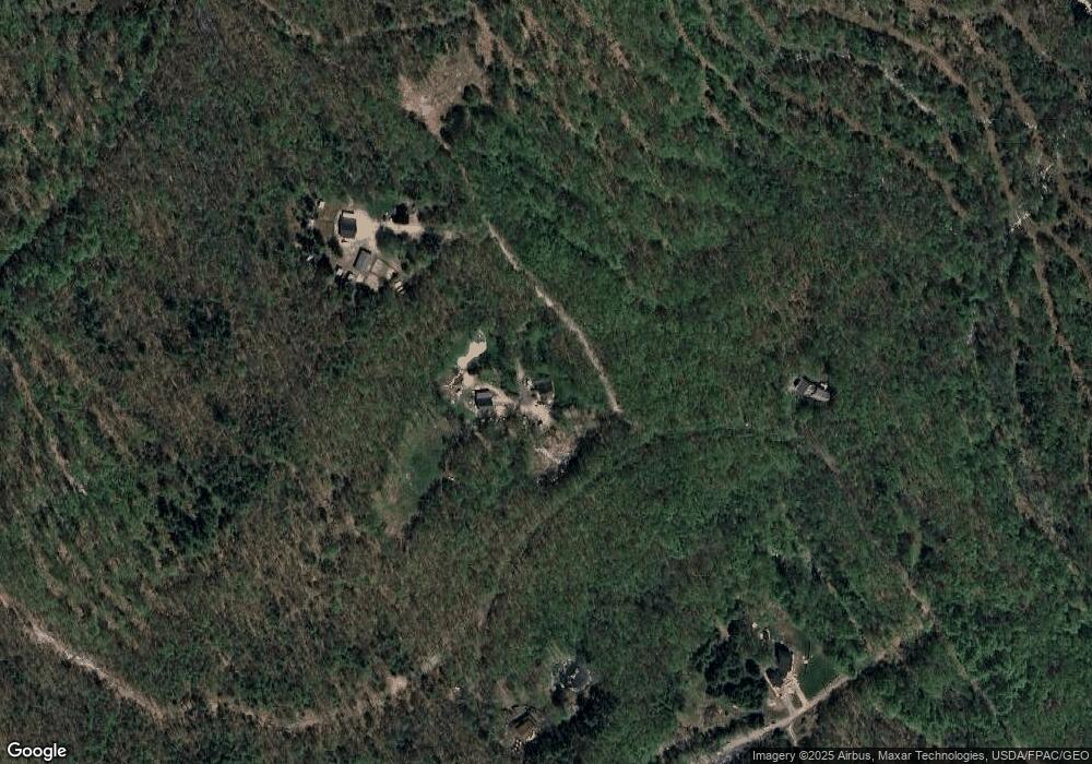
300 Howitt Rd Lyman, ME 04002
Lyman NeighborhoodEstimated Value: $411,173 - $585,000
3
Beds
1
Bath
1,296
Sq Ft
$374/Sq Ft
Est. Value
About This Home
This home is located at 300 Howitt Rd, Lyman, ME 04002 and is currently estimated at $485,058, approximately $374 per square foot. 300 Howitt Rd is a home with nearby schools including Massabesic High School.
Ownership History
Date
Name
Owned For
Owner Type
Purchase Details
Closed on
Apr 24, 2024
Sold by
Carroll Eric J and Carroll Theresa
Bought by
Carroll Theresa A and Carroll Eric J
Current Estimated Value
Purchase Details
Closed on
May 18, 2005
Sold by
Sedita Joan and Kimball John
Bought by
Carroll Eric J and Carroll Theresa
Create a Home Valuation Report for This Property
The Home Valuation Report is an in-depth analysis detailing your home's value as well as a comparison with similar homes in the area
Home Values in the Area
Average Home Value in this Area
Purchase History
| Date | Buyer | Sale Price | Title Company |
|---|---|---|---|
| Carroll Theresa A | -- | None Available | |
| Carroll Theresa A | -- | None Available | |
| Carroll Eric J | -- | -- |
Source: Public Records
Tax History Compared to Growth
Tax History
| Year | Tax Paid | Tax Assessment Tax Assessment Total Assessment is a certain percentage of the fair market value that is determined by local assessors to be the total taxable value of land and additions on the property. | Land | Improvement |
|---|---|---|---|---|
| 2024 | $3,556 | $282,000 | $101,000 | $181,000 |
| 2023 | $3,438 | $282,000 | $101,000 | $181,000 |
| 2022 | $3,299 | $282,000 | $101,000 | $181,000 |
| 2021 | $3,237 | $282,000 | $101,000 | $181,000 |
| 2020 | $2,913 | $271,000 | $97,000 | $174,000 |
| 2019 | $2,837 | $271,000 | $97,000 | $174,000 |
| 2018 | $2,517 | $228,000 | $81,000 | $147,000 |
| 2017 | $2,293 | $203,600 | $74,300 | $129,300 |
| 2015 | $2,525 | $203,600 | $74,300 | $129,300 |
| 2014 | $2,474 | $203,600 | $74,300 | $129,300 |
Source: Public Records
Map
Nearby Homes
- 65 Old County Rd
- 22 White House Cove Rd
- 16 Marcotte Ln
- 87 Drown Rd
- 665 S Waterboro Rd
- 40 Oakwood St
- 74 Lisa Dr
- 19 Day Rd
- 149 Duke Ln
- 34 Cascade Cir Unit 30
- 232 Waterboro Rd
- 61 M Ln
- Lot 1 Kennebunk Rd
- 58 Sanford Rd
- 296 Wadleigh Pond Rd
- 32 Conifer Dr
- 23 Branch View Terrace N
- 80 Raegan Lynn Rd
- TBD Branch View Terrace Unit Lot 5
- TBD Branch View Terrace Unit Lot 4
