300 Mitchell Ln Bridgehampton, NY 11932
Estimated Value: $7,302,000 - $13,529,598
10
Beds
6
Baths
12,043
Sq Ft
$865/Sq Ft
Est. Value
About This Home
This home is located at 300 Mitchell Ln, Bridgehampton, NY 11932 and is currently estimated at $10,415,799, approximately $864 per square foot. 300 Mitchell Ln is a home with nearby schools including Bridgehampton School, The Hayground School, and Ross Lower School.
Ownership History
Date
Name
Owned For
Owner Type
Purchase Details
Closed on
Dec 18, 2020
Sold by
Morrow Robert E
Bought by
Robert E Morrow Ret
Current Estimated Value
Purchase Details
Closed on
Oct 1, 1997
Sold by
Morrow Ornella
Bought by
Morrow Robert E
Purchase Details
Closed on
Dec 12, 1994
Sold by
Morrow Robert E
Bought by
Morrow Ornella
Create a Home Valuation Report for This Property
The Home Valuation Report is an in-depth analysis detailing your home's value as well as a comparison with similar homes in the area
Home Values in the Area
Average Home Value in this Area
Purchase History
| Date | Buyer | Sale Price | Title Company |
|---|---|---|---|
| Robert E Morrow Ret | -- | None Available | |
| Robert E Morrow Ret | -- | None Available | |
| Morrow Robert E | -- | -- | |
| Morrow Robert E | -- | -- | |
| Morrow Ornella | -- | -- | |
| Morrow Ornella | -- | -- |
Source: Public Records
Tax History
| Year | Tax Paid | Tax Assessment Tax Assessment Total Assessment is a certain percentage of the fair market value that is determined by local assessors to be the total taxable value of land and additions on the property. | Land | Improvement |
|---|---|---|---|---|
| 2024 | $49,875 | $12,878,400 | $3,877,100 | $9,001,300 |
| 2023 | $49,875 | $12,878,400 | $3,877,100 | $9,001,300 |
| 2022 | $47,952 | $12,878,400 | $3,877,100 | $9,001,300 |
| 2021 | $47,952 | $12,831,800 | $3,877,100 | $8,954,700 |
| 2020 | $46,345 | $12,831,800 | $3,877,100 | $8,954,700 |
| 2019 | $46,345 | $0 | $0 | $0 |
| 2018 | -- | $12,915,900 | $2,730,100 | $10,185,800 |
| 2017 | $46,608 | $12,915,900 | $2,730,100 | $10,185,800 |
| 2016 | $48,997 | $13,086,500 | $2,730,100 | $10,356,400 |
| 2015 | -- | $12,815,800 | $2,730,100 | $10,085,700 |
| 2014 | -- | $12,815,800 | $2,730,100 | $10,085,700 |
Source: Public Records
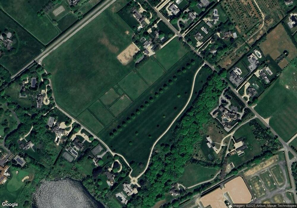
Map
Nearby Homes
- 7 Kellis Way
- 439 Hayground Rd
- 2 Strongs Ln
- 19 and 33 Bridgefield Rd
- 110 Halsey Ln
- 136 Trelawney Rd
- 81 Hildreth Ln
- 15 Hildreth Ln
- 120 Halsey Ln
- 88 Rose Way
- 125 Hildreth Ln
- 74 Chester St
- 1366 Scuttle Hole Rd
- 54 Hayground Rd
- 131 Narrow Ln
- 54 Sawasett Ave
- 162 Norris Ln
- 154 Narrow Ln
- 639 Deerfield (Lot #2) Rd
- 794 Head of Pond (Lot #5) Rd
- 314 Mitchell Ln
- 232 Mitchell Ln
- 322 Mitchell Ln
- 326 Mitchell Ln
- 254 Mitchell Ln
- 939 Scuttle Hole Rd
- 20 Two Trees Ln
- 18 Two Trees Ln
- 16 Two Trees Ln
- 210 Mitchell Ln
- 228 Mitchell Ln
- 249 Mitchell Ln
- 352 Mitchells Ln
- 273 Mitchell Ln
- 305 Mitchell Ln
- 14 Two Trees Ln
- 325 Mitchell Ln
- 219 Hayground Rd
- 110 Mitchells Ln
- 257 Mitchell Ln
Your Personal Tour Guide
Ask me questions while you tour the home.