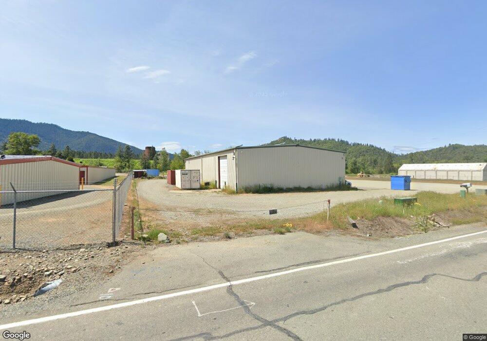
300 Mountain Fir Rd Grants Pass, OR 97527
Estimated Value: $728,528
--
Bed
--
Bath
5,500
Sq Ft
$132/Sq Ft
Est. Value
About This Home
This home is located at 300 Mountain Fir Rd, Grants Pass, OR 97527 and is currently estimated at $728,528, approximately $132 per square foot. 300 Mountain Fir Rd is a home located in Josephine County with nearby schools including Madrona Elementary School, Lincoln Savage Middle School, and Hidden Valley High School.
Ownership History
Date
Name
Owned For
Owner Type
Purchase Details
Closed on
Apr 29, 2019
Sold by
Kobs Wade V and Kobs Debi J
Bought by
Seed Oil Company Llc
Current Estimated Value
Home Financials for this Owner
Home Financials are based on the most recent Mortgage that was taken out on this home.
Original Mortgage
$325,000
Interest Rate
4.2%
Mortgage Type
Commercial
Purchase Details
Closed on
Jan 17, 2007
Sold by
Dgf Development Llc
Bought by
Kobs Wade and Kobs Debi J
Home Financials for this Owner
Home Financials are based on the most recent Mortgage that was taken out on this home.
Original Mortgage
$200,000
Interest Rate
6.09%
Mortgage Type
Commercial
Create a Home Valuation Report for This Property
The Home Valuation Report is an in-depth analysis detailing your home's value as well as a comparison with similar homes in the area
Home Values in the Area
Average Home Value in this Area
Purchase History
| Date | Buyer | Sale Price | Title Company |
|---|---|---|---|
| Seed Oil Company Llc | $510,000 | Ticor Title Company Of Or | |
| Kobs Wade | $500,000 | First American |
Source: Public Records
Mortgage History
| Date | Status | Borrower | Loan Amount |
|---|---|---|---|
| Closed | Seed Oil Company Llc | $325,000 | |
| Previous Owner | Kobs Wade | $200,000 |
Source: Public Records
Tax History Compared to Growth
Tax History
| Year | Tax Paid | Tax Assessment Tax Assessment Total Assessment is a certain percentage of the fair market value that is determined by local assessors to be the total taxable value of land and additions on the property. | Land | Improvement |
|---|---|---|---|---|
| 2025 | $2,127 | $301,980 | -- | -- |
| 2024 | $2,127 | $293,190 | -- | -- |
| 2023 | $1,730 | $284,660 | $0 | $0 |
| 2022 | $1,693 | $276,370 | $0 | $0 |
| 2021 | $1,635 | $268,330 | $0 | $0 |
| 2020 | $1,771 | $260,520 | $0 | $0 |
| 2019 | $1,701 | $252,940 | $0 | $0 |
| 2018 | $1,725 | $245,580 | $0 | $0 |
| 2017 | $1,725 | $238,430 | $0 | $0 |
| 2016 | $1,463 | $231,490 | $0 | $0 |
| 2015 | $1,413 | $224,750 | $0 | $0 |
| 2014 | $1,378 | $218,210 | $0 | $0 |
Source: Public Records
Map
Nearby Homes
- 438 Murphy Creek Rd
- 8122 New Hope Rd
- 1100 Southside Rd
- 7344 N Applegate Rd
- 7420 N Applegate Rd
- 7342 New Hope Rd
- 7304 N Applegate Rd
- 7820 N Applegate Rd
- 0 Ann Roy Dr Unit TL304
- 0 Ann Roy Dr Unit TL 303
- 510 Copper Dr
- 1940 Southside Rd
- 301 Robmar Ln
- 1927 Southside Rd
- 543 Hidden Valley Rd
- 8835 Williams Hwy
- 5960 Cloverlawn Dr
- 8882 Williams Hwy
- 240 Homewood Rd
- 157 Cheslock Rd
- 278 Mountain Fir Rd
- 105 Murphy Ln
- 6890 Williams Hwy Unit R34065
- 382 Southside Rd
- 301 Southside Rd
- 255 S Side Rd
- 255 Southside Rd
- 6790 Williams Hwy
- 6915 Williams Hwy
- 6891 Williams Hwy
- 6790 Williams Hwy
- 6861 Williams Hwy
- 7200 Williams Hwy
- 6953 Williams Hwy
- 300 Murphy Ln
- 201 Southside Rd
- 310 Murphy Ln
- 275 Murphy Ln
- 309 Southside Rd
- 324 Murphy Ln