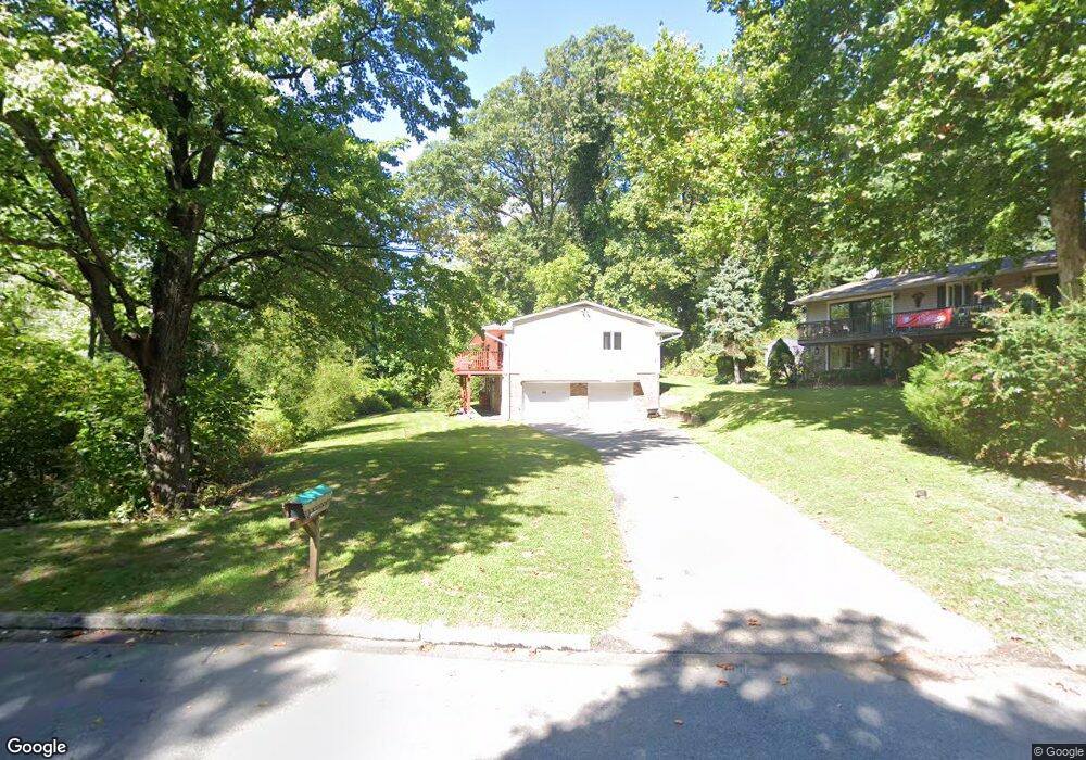
300 N State Rd Springfield, PA 19064
Estimated Value: $519,000 - $597,000
4
Beds
3
Baths
1,500
Sq Ft
$377/Sq Ft
Est. Value
About This Home
This home is located at 300 N State Rd, Springfield, PA 19064 and is currently estimated at $564,855, approximately $376 per square foot. 300 N State Rd is a home located in Delaware County with nearby schools including Springfield High School, St Francis Of Assisi School, and St Dorothy School.
Ownership History
Date
Name
Owned For
Owner Type
Purchase Details
Closed on
Feb 28, 2008
Sold by
Clauso Anthony J and Clauso Louise A
Bought by
Shook Timothy M
Current Estimated Value
Home Financials for this Owner
Home Financials are based on the most recent Mortgage that was taken out on this home.
Original Mortgage
$264,000
Outstanding Balance
$164,997
Interest Rate
5.8%
Mortgage Type
Purchase Money Mortgage
Estimated Equity
$399,858
Create a Home Valuation Report for This Property
The Home Valuation Report is an in-depth analysis detailing your home's value as well as a comparison with similar homes in the area
Home Values in the Area
Average Home Value in this Area
Purchase History
| Date | Buyer | Sale Price | Title Company |
|---|---|---|---|
| Shook Timothy M | $330,000 | None Available |
Source: Public Records
Mortgage History
| Date | Status | Borrower | Loan Amount |
|---|---|---|---|
| Open | Shook Timothy M | $264,000 |
Source: Public Records
Tax History Compared to Growth
Tax History
| Year | Tax Paid | Tax Assessment Tax Assessment Total Assessment is a certain percentage of the fair market value that is determined by local assessors to be the total taxable value of land and additions on the property. | Land | Improvement |
|---|---|---|---|---|
| 2025 | $9,604 | $341,700 | $109,750 | $231,950 |
| 2024 | $9,604 | $341,700 | $109,750 | $231,950 |
| 2023 | $9,248 | $341,700 | $109,750 | $231,950 |
| 2022 | $9,048 | $341,700 | $109,750 | $231,950 |
| 2021 | $14,012 | $341,700 | $109,750 | $231,950 |
| 2020 | $9,181 | $202,600 | $57,320 | $145,280 |
| 2019 | $8,965 | $202,600 | $57,320 | $145,280 |
| 2018 | $8,837 | $202,600 | $0 | $0 |
| 2017 | $8,632 | $202,600 | $0 | $0 |
| 2016 | $1,112 | $202,600 | $0 | $0 |
| 2015 | $1,112 | $202,600 | $0 | $0 |
| 2014 | $1,112 | $202,600 | $0 | $0 |
Source: Public Records
Map
Nearby Homes
- 530 Hempstead Rd
- 200 N State Rd
- 140 N Rolling Rd
- 53 N Hillcrest Rd
- 412 N Rolling Rd
- 658 W Rolling Rd
- 736 Timber Trail Ln
- 38 S Britton Rd
- 30 Wayne Ave
- 5265 Apache Ln
- 201 S Highland Rd
- 63 S Hillcrest Rd
- 301 N Norwinden Dr
- 232 S Highland Rd
- 158 Hillview Dr
- 324 Valley View Rd
- 444 Kerr Ln
- 1372 Dermond Rd
- 15 Pearson Dr
- 517 W Woodland Ave
- 306 N State Rd
- 319 Southcroft Rd
- 311 Southcroft Rd
- 324 N State Rd
- 301 N State Rd
- 301 N State Rd Unit 9D
- 301 N State Rd
- 303 Southcroft Rd
- 501 Flora Cir
- 507 Flora Cir
- 320 Southcroft Rd
- 513 Flora Cir
- 300 Southcroft Rd
- 302 Northcroft Rd
- 519 Flora Cir
- 301 Northcroft Rd
- 244 N State Rd
- 518 Weymouth Rd
- 526 Weymouth Rd
- 510 Weymouth Rd