300 R and R Farm Rd Dahlonega, GA 30533
Estimated Value: $126,425 - $283,000
--
Bed
1
Bath
1,025
Sq Ft
$204/Sq Ft
Est. Value
About This Home
This home is located at 300 R and R Farm Rd, Dahlonega, GA 30533 and is currently estimated at $208,856, approximately $203 per square foot. 300 R and R Farm Rd is a home located in Lumpkin County with nearby schools including Clay County Middle School and Lumpkin County High School.
Ownership History
Date
Name
Owned For
Owner Type
Purchase Details
Closed on
Jul 31, 2014
Sold by
Wallace Carolyn J and Maxwell Lee
Bought by
Wallace Carolyn Jane and Maxwell Lee
Current Estimated Value
Purchase Details
Closed on
Aug 13, 2010
Sold by
Carmack Mildred Ann
Bought by
Wallace Carolyn Jane
Purchase Details
Closed on
Sep 12, 2000
Bought by
Crow Van
Purchase Details
Closed on
Feb 27, 1992
Sold by
Crow Van
Bought by
Vanvanvanvancrow Jacob Van
Create a Home Valuation Report for This Property
The Home Valuation Report is an in-depth analysis detailing your home's value as well as a comparison with similar homes in the area
Home Values in the Area
Average Home Value in this Area
Purchase History
| Date | Buyer | Sale Price | Title Company |
|---|---|---|---|
| Wallace Carolyn Jane | -- | -- | |
| Wallace Carolyn Jane | $45,000 | -- | |
| Carmack Mildred Ann | -- | -- | |
| Crow Van | -- | -- | |
| Vanvanvanvancrow Jacob Van | -- | -- |
Source: Public Records
Tax History Compared to Growth
Tax History
| Year | Tax Paid | Tax Assessment Tax Assessment Total Assessment is a certain percentage of the fair market value that is determined by local assessors to be the total taxable value of land and additions on the property. | Land | Improvement |
|---|---|---|---|---|
| 2024 | -- | $31,415 | $16,538 | $14,877 |
| 2023 | $0 | $29,336 | $15,456 | $13,880 |
| 2022 | $650 | $26,264 | $12,880 | $13,384 |
| 2021 | $684 | $24,108 | $12,880 | $11,228 |
| 2020 | $660 | $23,259 | $12,342 | $10,917 |
| 2019 | $660 | $23,259 | $12,342 | $10,917 |
| 2018 | $627 | $22,094 | $12,342 | $9,752 |
| 2017 | $0 | $22,501 | $12,342 | $10,159 |
| 2016 | -- | $21,239 | $12,342 | $8,897 |
| 2015 | $420 | $21,240 | $12,342 | $8,897 |
| 2014 | $420 | $15,925 | $6,612 | $9,313 |
| 2013 | -- | $16,340 | $6,612 | $9,728 |
Source: Public Records
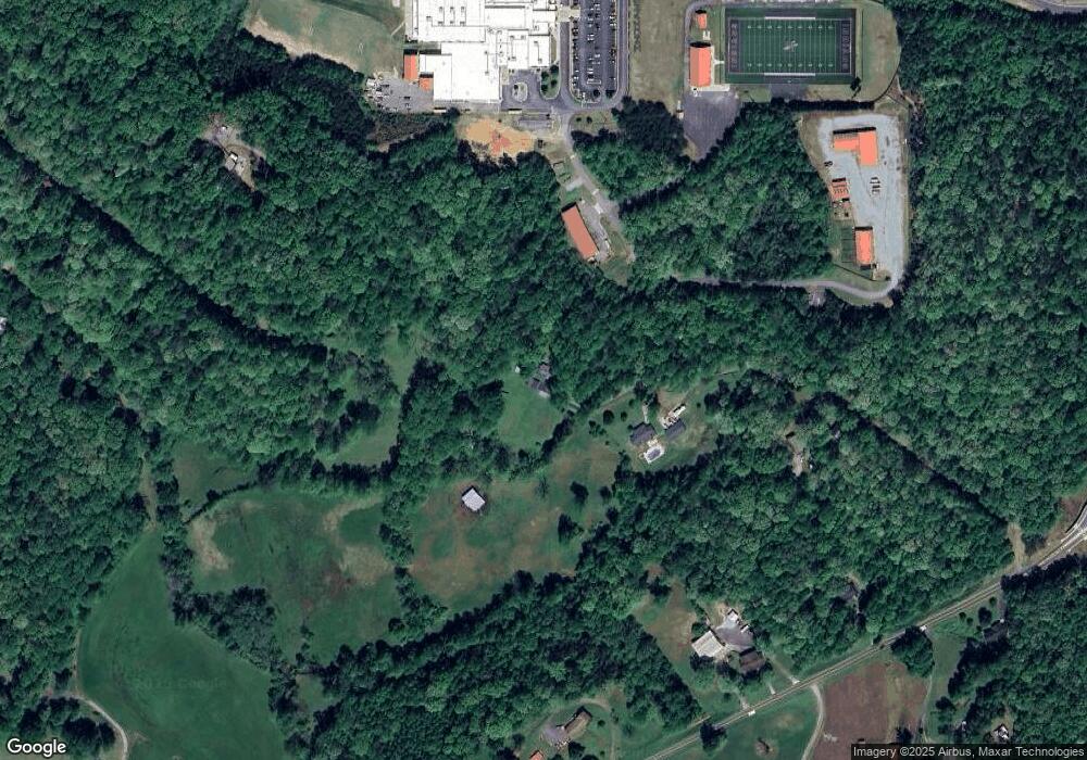
Map
Nearby Homes
- 0 Camp Wahsega Rd Unit 7600956
- 0 Camp Wahsega Rd Unit 10547292
- 181 Gilreath Way
- 357 Camp Wahsega Rd
- 1202 Oak Grove Rd
- 132 J Mountain Dr
- 490 N Hall Rd
- 70 Avery Trail
- 97 Beaumont Dr
- 253 Blair Ridge Rd
- 120 Blair Ridge Rd
- 121 Blair Ridge Rd
- 94 Mountain View Dr
- 22 Deer Ridge Rd
- 549 Ivy Terrace
- 77 Old River Rd
- 100 Sanders Blvd
- 159 Misty Way
- 269 R and R Farm Rd
- 193 R and R Farm Rd
- 318 Oak Grove Rd
- 222 Oak Grove Rd
- 160 Oak Grove Rd
- 58 Bucks Way
- 0 Oak Grove Mhp
- 327 Oak Grove Rd
- 447 Oak Grove Rd
- 354 Oak Grove Rd
- 0 Eagle Dr
- 0 Eagle Dr Unit 3284214
- 0 Eagle Dr Unit 3289105
- 0 Eagle Dr Unit 3161169
- 121 Oak Grove Rd
- 1211 Camp Glisson Rd
- 134 Bucks Way
- 111 Eagle Dr
- 0 Oak Grove Rd
- 0 Oak Grove Rd Unit 10208257