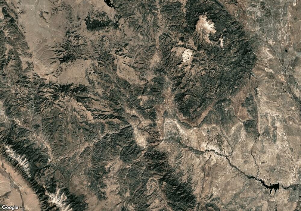
300 Rustler Rd Canon City, CO 81212
Estimated Value: $690,000 - $845,000
3
Beds
2
Baths
2,073
Sq Ft
$359/Sq Ft
Est. Value
About This Home
This home is located at 300 Rustler Rd, Canon City, CO 81212 and is currently estimated at $745,238, approximately $359 per square foot. 300 Rustler Rd is a home located in Fremont County with nearby schools including Lincoln School of Science & Technology, Canon City Middle School, and Canon City High School.
Ownership History
Date
Name
Owned For
Owner Type
Purchase Details
Closed on
Jul 25, 2025
Sold by
Donna Toeroek Trust and Toeroek Donna
Bought by
Alexis May Terrell Trust
Current Estimated Value
Purchase Details
Closed on
Apr 6, 2020
Sold by
Toeroek Donna
Bought by
Donna Toeroek Revocable Trust
Purchase Details
Closed on
Jun 26, 2018
Sold by
Donna Toeroek Revokable Trst
Bought by
The Donna Toeroek Revocable Trst
Purchase Details
Closed on
Oct 25, 2016
Sold by
Toeroek Donna
Bought by
Donna Toeroek Revokable Trust
Purchase Details
Closed on
Sep 24, 2004
Sold by
Land Mark Llc
Bought by
Toeroek Donna
Purchase Details
Closed on
Apr 29, 2002
Sold by
Land Mark Llc
Bought by
Land Mark Llc
Create a Home Valuation Report for This Property
The Home Valuation Report is an in-depth analysis detailing your home's value as well as a comparison with similar homes in the area
Home Values in the Area
Average Home Value in this Area
Purchase History
| Date | Buyer | Sale Price | Title Company |
|---|---|---|---|
| Alexis May Terrell Trust | $850,000 | Fidelity National Title | |
| Donna Toeroek Revocable Trust | -- | None Available | |
| The Donna Toeroek Revocable Trst | -- | None Available | |
| Donna Toeroek Revokable Trust | -- | None Available | |
| Toeroek Donna | $139,000 | -- | |
| Land Mark Llc | -- | -- |
Source: Public Records
Tax History Compared to Growth
Tax History
| Year | Tax Paid | Tax Assessment Tax Assessment Total Assessment is a certain percentage of the fair market value that is determined by local assessors to be the total taxable value of land and additions on the property. | Land | Improvement |
|---|---|---|---|---|
| 2024 | $1,612 | $34,865 | $0 | $0 |
| 2023 | $1,612 | $34,187 | $0 | $0 |
| 2022 | $1,418 | $28,124 | $0 | $0 |
| 2021 | $1,409 | $28,896 | $0 | $0 |
| 2020 | $1,048 | $22,646 | $0 | $0 |
| 2019 | $1,049 | $22,646 | $0 | $0 |
| 2018 | $1,384 | $19,852 | $0 | $0 |
| 2017 | $1,283 | $19,852 | $0 | $0 |
| 2016 | $951 | $19,590 | $0 | $0 |
| 2015 | $949 | $19,590 | $0 | $0 |
| 2012 | $1,018 | $20,466 | $151 | $20,315 |
Source: Public Records
Map
Nearby Homes
- Lot 10 Rice Mountain Way
- Lot 10 Rice Mtn Way
- Tbd Rice Mountain Way
- 1731 County Road 69
- 10719 County Road 69
- 0 County Road 69
- 19S Old Crow Path
- 0 Old Crow Path Unit 24945496
- 333 Cooper Ln
- 1955 York Ave
- 601 County Road 69
- 1041 Lone Tree St
- 3 County Road 3a
- 19 County Road 3a
- 611 Rockridge Loop
- 603 Rockridge Loop
- 361 Highway 9
- 1338 Minnesota St
- 1280 Indiana Ave
- 1316 York Ave
