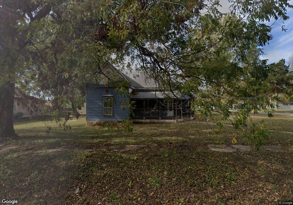
300 S Rosehill Ave Cleveland, OK 74020
Estimated Value: $75,702 - $118,000
2
Beds
1
Bath
1,084
Sq Ft
$96/Sq Ft
Est. Value
About This Home
This home is located at 300 S Rosehill Ave, Cleveland, OK 74020 and is currently estimated at $104,426, approximately $96 per square foot. 300 S Rosehill Ave is a home located in Pawnee County with nearby schools including Cleveland Primary Elementary School, Cleveland Intermediate Elementary School, and Cleveland Middle School.
Ownership History
Date
Name
Owned For
Owner Type
Purchase Details
Closed on
Nov 25, 2013
Sold by
American Heritage Bank
Bought by
Bolstad Robert
Current Estimated Value
Purchase Details
Closed on
Nov 15, 2013
Sold by
American Heritage Bank
Bought by
Bolstad Robert
Purchase Details
Closed on
Mar 11, 2013
Sold by
Brooks Melvin Roy and Brooks Jack
Bought by
American Heritage Bank
Purchase Details
Closed on
Jun 28, 2004
Sold by
Johnson Charles
Bought by
Brooks Melvin and Brooks Jackie
Create a Home Valuation Report for This Property
The Home Valuation Report is an in-depth analysis detailing your home's value as well as a comparison with similar homes in the area
Home Values in the Area
Average Home Value in this Area
Purchase History
| Date | Buyer | Sale Price | Title Company |
|---|---|---|---|
| Bolstad Robert | $5,000 | -- | |
| Bolstad Robert | $5,000 | -- | |
| American Heritage Bank | -- | -- | |
| Brooks Jackie M | -- | -- | |
| Brooks Melvin | $20,000 | -- |
Source: Public Records
Tax History Compared to Growth
Tax History
| Year | Tax Paid | Tax Assessment Tax Assessment Total Assessment is a certain percentage of the fair market value that is determined by local assessors to be the total taxable value of land and additions on the property. | Land | Improvement |
|---|---|---|---|---|
| 2025 | $315 | $3,303 | $583 | $2,720 |
| 2024 | $314 | $3,386 | $583 | $2,803 |
| 2023 | $314 | $3,225 | $583 | $2,642 |
| 2022 | $313 | $3,357 | $583 | $2,774 |
| 2021 | $315 | $3,357 | $583 | $2,774 |
| 2020 | $323 | $3,357 | $583 | $2,774 |
| 2019 | $319 | $3,357 | $583 | $2,774 |
| 2018 | $327 | $3,357 | $583 | $2,774 |
| 2017 | $326 | $3,357 | $583 | $2,774 |
| 2016 | $355 | $3,637 | $550 | $3,087 |
| 2015 | $326 | $3,465 | $508 | $2,957 |
| 2014 | $316 | $3,300 | $499 | $2,801 |
Source: Public Records
Map
Nearby Homes
- 109 S Vine Ave
- 303 S Rosehill Ave
- 103 S Dunlap St
- 206 N Vine Ave
- 402 S Jules Ave
- 404 S Jules Ave
- 405 N B Ave
- 413 W Pogue St
- 512 W Cherokee St
- 611 N Division St
- 505 W Pawnee St
- 606 N B Ave
- 514 W Wichita Ave
- 504 N D Ave
- 939 S Airport Rd
- 601 W Wichita Ave
- 202 W Ponca Ave
- 709 N D Ave
- 305 N 7th Ave
- 108 N 7th Ave
- 304 S Rosehill Ave
- 301 S Rosehill Ave
- 305 S Rosehill Ave
- 301 S Vine Ave
- 210 S Rosehill Ave
- 307 S Rosehill Ave
- 305 S Vine Ave
- 310 S Rosehill Ave
- 507 E Osage St
- 363375 E 5800 Rd
- 211 S Vine Ave
- 401 E Caddo St
- 311 S Rosehill Ave
- 209 S Rosehill Ave
- 208 S Rosehill Ave
- 0 E Caddo St
- 0 S Vine Ave
- 300 S Sloan Ave
- 304 S Sloan Ave