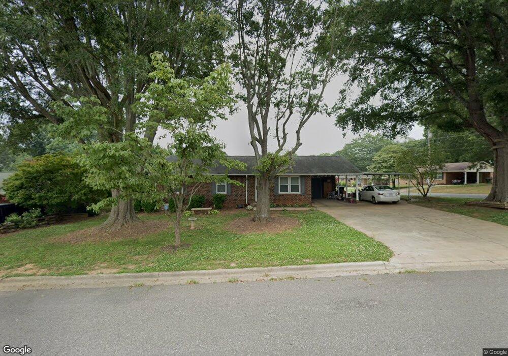
300 Somerset Dr Kings Mountain, NC 28086
Estimated Value: $281,152 - $291,000
3
Beds
2
Baths
1,705
Sq Ft
$168/Sq Ft
Est. Value
About This Home
This home is located at 300 Somerset Dr, Kings Mountain, NC 28086 and is currently estimated at $286,788, approximately $168 per square foot. 300 Somerset Dr is a home located in Cleveland County with nearby schools including West Elementary School, Kings Mountain Middle, and Kings Mountain Intermediate School.
Ownership History
Date
Name
Owned For
Owner Type
Purchase Details
Closed on
Jan 8, 2018
Sold by
Ayscue Helen Owens and Putnam Charles W
Bought by
Hawkins Elizabeth
Current Estimated Value
Purchase Details
Closed on
Feb 2, 2010
Sold by
Alyscue Bobby Allen and Ayscue Helen Owens
Bought by
Ayscue Bobby Allen and Ayscue Helen Owens
Create a Home Valuation Report for This Property
The Home Valuation Report is an in-depth analysis detailing your home's value as well as a comparison with similar homes in the area
Home Values in the Area
Average Home Value in this Area
Purchase History
| Date | Buyer | Sale Price | Title Company |
|---|---|---|---|
| Hawkins Elizabeth | $130,000 | None Available | |
| Ayscue Bobby Allen | -- | None Available |
Source: Public Records
Tax History Compared to Growth
Tax History
| Year | Tax Paid | Tax Assessment Tax Assessment Total Assessment is a certain percentage of the fair market value that is determined by local assessors to be the total taxable value of land and additions on the property. | Land | Improvement |
|---|---|---|---|---|
| 2025 | $2,206 | $215,259 | $23,432 | $191,827 |
| 2024 | $1,758 | $148,473 | $18,746 | $129,727 |
| 2023 | $1,750 | $148,473 | $18,746 | $129,727 |
| 2022 | $1,676 | $148,473 | $18,746 | $129,727 |
| 2021 | $1,684 | $148,473 | $18,746 | $129,727 |
| 2020 | $1,376 | $117,774 | $13,122 | $104,652 |
| 2019 | $1,376 | $117,774 | $13,122 | $104,652 |
| 2018 | $1,375 | $117,774 | $13,122 | $104,652 |
| 2017 | $1,368 | $117,774 | $13,122 | $104,652 |
| 2016 | $1,373 | $117,774 | $13,122 | $104,652 |
| 2015 | $1,234 | $108,536 | $10,778 | $97,758 |
| 2014 | $1,234 | $108,536 | $10,778 | $97,758 |
Source: Public Records
Map
Nearby Homes
- 112 Fulton Dr
- 804 Lee St
- 0 Southridge Dr Unit CAR4298120
- 430 Fulton Dr
- 245 Paige Rd
- 230 Paige Rd
- 218 Paige Rd
- 227 Paige Rd
- 212 Paige Rd
- 149 Parker Claire Ln
- 123 Parker Claire Ln
- 219 Parker Claire Ln
- 143 Parker Claire Ln
- 137 Parker Claire Ln
- 157 Parker Claire Ln
- 104 Parker Claire Ln
- 207 Parker Claire Ln
- Belhaven Plan at Brinkley Ridge
- Freeport Plan at Brinkley Ridge
- Robie Plan at Brinkley Ridge
- 302 Somerset Dr
- 705 Southwood Dr
- 707 Southwood Dr
- 800 Southwood Dr
- 301 Scotland Dr
- 304 Somerset Dr
- 703 Southwood Dr
- 303 Somerset Dr
- 303 Scotland Dr
- 801 Southwood Dr
- 802 Southwood Dr
- 701 Southwood Dr
- 306 Somerset Dr
- 305 Somerset Dr
- 803 Southwood Dr
- 704 Princeton Dr
- 706 Princeton Dr
- 305 Scotland Dr
- 605 Southwood Dr
- 702 Princeton Dr