300 Sutton Ridge Way Ellijay, GA 30540
Estimated Value: $457,938 - $652,000
--
Bed
--
Bath
1,480
Sq Ft
$349/Sq Ft
Est. Value
About This Home
This home is located at 300 Sutton Ridge Way, Ellijay, GA 30540 and is currently estimated at $516,235, approximately $348 per square foot. 300 Sutton Ridge Way is a home with nearby schools including Ellijay Elementary School, Clear Creek Elementary School, and Clear Creek Middle School.
Ownership History
Date
Name
Owned For
Owner Type
Purchase Details
Closed on
Nov 21, 2022
Sold by
Elsberry Peggy
Bought by
Elsberry Robert L
Current Estimated Value
Purchase Details
Closed on
Feb 26, 2007
Sold by
Hale Richard Lonnie
Bought by
Elsberry Peggy Saunders
Home Financials for this Owner
Home Financials are based on the most recent Mortgage that was taken out on this home.
Original Mortgage
$268,000
Interest Rate
6.19%
Mortgage Type
New Conventional
Purchase Details
Closed on
Apr 25, 2001
Sold by
Collins Edward and Collins Sue
Bought by
Hale Richard and Hale Wanda
Purchase Details
Closed on
Apr 21, 1998
Sold by
Macomson Michael T
Bought by
Collins Edward and Collins Sue
Purchase Details
Closed on
Apr 1, 1998
Sold by
Sisson Perry J and Sisson
Bought by
Macomson Michael T
Purchase Details
Closed on
Jan 1, 1989
Bought by
Macomson Michael T
Create a Home Valuation Report for This Property
The Home Valuation Report is an in-depth analysis detailing your home's value as well as a comparison with similar homes in the area
Home Values in the Area
Average Home Value in this Area
Purchase History
| Date | Buyer | Sale Price | Title Company |
|---|---|---|---|
| Elsberry Robert L | -- | -- | |
| Elsberry Peggy Saunders | $335,000 | -- | |
| Hale Richard | $213,900 | -- | |
| Collins Edward | $85,000 | -- | |
| Macomson Michael T | -- | -- | |
| Macomson Michael T | -- | -- |
Source: Public Records
Mortgage History
| Date | Status | Borrower | Loan Amount |
|---|---|---|---|
| Previous Owner | Elsberry Peggy Saunders | $268,000 |
Source: Public Records
Tax History Compared to Growth
Tax History
| Year | Tax Paid | Tax Assessment Tax Assessment Total Assessment is a certain percentage of the fair market value that is determined by local assessors to be the total taxable value of land and additions on the property. | Land | Improvement |
|---|---|---|---|---|
| 2025 | $2,936 | $226,056 | $74,400 | $151,656 |
| 2024 | $2,936 | $189,468 | $37,200 | $152,268 |
| 2023 | $3,170 | $198,228 | $37,200 | $161,028 |
| 2022 | $2,443 | $138,788 | $36,400 | $102,388 |
| 2021 | $2,332 | $117,488 | $36,400 | $81,088 |
| 2020 | $2,295 | $104,340 | $36,400 | $67,940 |
| 2019 | $2,363 | $104,340 | $36,400 | $67,940 |
| 2018 | $2,395 | $104,396 | $36,400 | $67,996 |
| 2017 | $2,082 | $84,604 | $14,600 | $70,004 |
| 2016 | $1,623 | $64,644 | $8,680 | $55,964 |
| 2015 | $1,661 | $67,360 | $19,200 | $48,160 |
| 2014 | $1,715 | $66,920 | $19,200 | $47,720 |
| 2013 | -- | $65,360 | $19,200 | $46,160 |
Source: Public Records
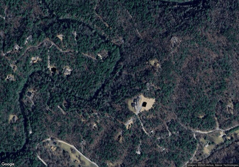
Map
Nearby Homes
- 89 N Whitepath Cir
- Lot 53 Whitepath Cir N
- 804 Pocaset Dr
- 63 Hawk Trail
- 25 Briar Creek Dr
- 577 Tonto Dr
- 160 Nahunta Ct
- 425 Riverbend Ct
- Lot 332 Pocaset
- 29 River Ranch Rd
- 382 Pocaset
- 122 River Bend Trail
- 695 Satsuma Ct
- LOT 546 Satsuma Ct
- 573 Cataula Ct
- Lot 645 Wedowee Ct
- 1075 Cherokee Dr
- 12 Cherokee Dr
- 335 Sutton Ridge Way
- 335 Sutton Ridge Way Unit 26
- 262 Sutton Ridge Way
- 259 Sutton Ridge Way
- 67 N Whitepath Cir
- 27 N Whitepath Cir
- N N Whitepath Cir
- 0 N Whitepath Cir Unit 273581
- 0 N Whitepath Cir
- 345 Neshoba Ct E
- 29 S Whitepath Cir
- 23 S Whitepath Cir Unit 23
- 23 S Whitepath Cir Unit 23&29
- 23 S Whitepath Cir
- 156 S Whitepath Cir Unit 24 S
- 156 S Whitepath Cir
- 735 Sutton Place
- 88 N Whitepath Cir
- 232 S Whitepath Cir Unit 23&29
- 232 S Whitepath Cir