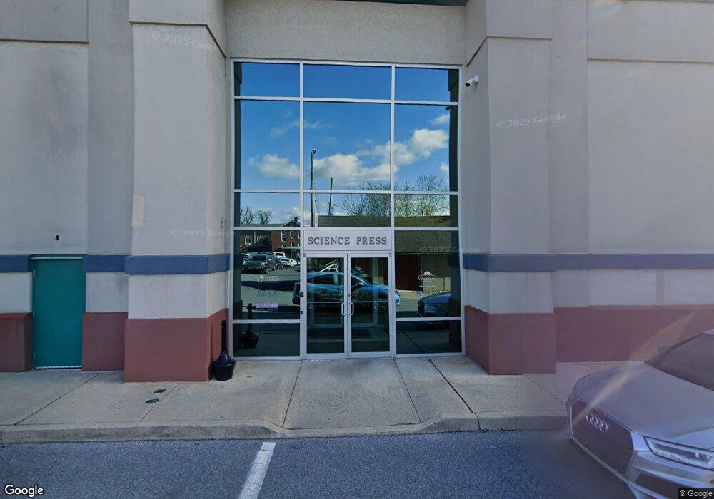
300 W Chestnut St Ephrata, PA 17522
--
Bed
--
Bath
132,780
Sq Ft
2.91
Acres
About This Home
This home is located at 300 W Chestnut St, Ephrata, PA 17522. 300 W Chestnut St is a home located in Lancaster County with nearby schools including Highland Elementary School, Ephrata Intermediate School, and Ephrata Senior High School.
Ownership History
Date
Name
Owned For
Owner Type
Purchase Details
Closed on
Oct 17, 2014
Sold by
Cover Scott R
Bought by
300 West Chestnut Street Lp
Home Financials for this Owner
Home Financials are based on the most recent Mortgage that was taken out on this home.
Original Mortgage
$2,600,000
Outstanding Balance
$2,001,314
Interest Rate
4.21%
Mortgage Type
Future Advance Clause Open End Mortgage
Purchase Details
Closed on
Sep 25, 2006
Sold by
Cadmus Communications Corp
Bought by
Cover Scott R
Home Financials for this Owner
Home Financials are based on the most recent Mortgage that was taken out on this home.
Original Mortgage
$2,150,000
Interest Rate
6.52%
Mortgage Type
Commercial
Purchase Details
Closed on
Mar 1, 2005
Sold by
Mack Printing Co
Bought by
Cadmus Communications Corp
Create a Home Valuation Report for This Property
The Home Valuation Report is an in-depth analysis detailing your home's value as well as a comparison with similar homes in the area
Home Values in the Area
Average Home Value in this Area
Purchase History
| Date | Buyer | Sale Price | Title Company |
|---|---|---|---|
| 300 West Chestnut Street Lp | -- | None Available | |
| Cover Scott R | $2,075,000 | None Available | |
| Cadmus Communications Corp | -- | -- |
Source: Public Records
Mortgage History
| Date | Status | Borrower | Loan Amount |
|---|---|---|---|
| Open | 300 West Chestnut Street Lp | $2,600,000 | |
| Previous Owner | Cover Scott R | $2,150,000 |
Source: Public Records
Tax History Compared to Growth
Tax History
| Year | Tax Paid | Tax Assessment Tax Assessment Total Assessment is a certain percentage of the fair market value that is determined by local assessors to be the total taxable value of land and additions on the property. | Land | Improvement |
|---|---|---|---|---|
| 2025 | $63,588 | $2,651,600 | $291,000 | $2,360,600 |
| 2024 | $63,588 | $2,651,600 | $291,000 | $2,360,600 |
| 2023 | $62,024 | $2,651,600 | $291,000 | $2,360,600 |
| 2022 | $59,379 | $2,651,600 | $291,000 | $2,360,600 |
| 2021 | $58,132 | $2,651,600 | $291,000 | $2,360,600 |
| 2020 | $58,132 | $2,651,600 | $291,000 | $2,360,600 |
| 2019 | $57,337 | $2,651,600 | $291,000 | $2,360,600 |
| 2018 | $67,970 | $2,651,600 | $291,000 | $2,360,600 |
| 2017 | $46,525 | $1,758,000 | $229,300 | $1,528,700 |
| 2016 | $46,156 | $1,758,000 | $229,300 | $1,528,700 |
| 2015 | $10,205 | $1,758,000 | $229,300 | $1,528,700 |
| 2014 | $34,457 | $1,758,000 | $229,300 | $1,528,700 |
Source: Public Records
Map
Nearby Homes
- 234 Church Ave
- 346 Duke St
- 221 Duke St
- 49 N Church St
- 124 Washington Ave
- 308 Washington Ave
- 623 N State St
- 335 Lincoln Ave
- 811 Pleasantview Dr
- 837 Martin Ave
- 126 Marion Terrace
- 704 Lincoln Ave
- 10 E Queen St
- 221 Marion Terrace
- 2 Westpointe Dr
- 214 Linda Terrace
- 538 E Main St
- 18 Akron Rd
- 114 Brickyard Cir
- 992 Hammon Ave
- 300 W Chestnut St Unit 205
- 300 W Chestnut St Unit 202
- 300 W Chestnut St
- 244 Terrace Ave
- 220 Terrace Ave
- 217 Park Ave
- 211 Park Ave
- 219 Park Ave
- 207 Park Ave
- 166 Park Ave
- 216 Terrace Ave
- 225 Park Ave
- 214 Terrace Ave
- 205 Park Ave
- 212 Terrace Ave
- 227 Park Ave
- 210 Terrace Ave
- 208 Terrace Ave
- 203 Park Ave
- 164 Park Ave