Estimated Value: $191,000 - $325,000
3
Beds
4
Baths
2,577
Sq Ft
$103/Sq Ft
Est. Value
About This Home
This home is located at 300 W Sheridan Line Rd, Peck, MI 48466 and is currently estimated at $265,656, approximately $103 per square foot. 300 W Sheridan Line Rd is a home located in Sanilac County with nearby schools including Peck Community Elementary School and Peck Junior/Senior High School.
Ownership History
Date
Name
Owned For
Owner Type
Purchase Details
Closed on
May 15, 2015
Sold by
Williams Deidra M Trust
Bought by
Bamrick Patrick and Bamrick Sandi
Current Estimated Value
Purchase Details
Closed on
Dec 21, 2007
Sold by
Williams Deidra M
Bought by
Deidra M Williams Trust
Purchase Details
Closed on
Feb 23, 2006
Sold by
Cavanaugh Patrick and Cavanaugh Kathleen
Bought by
Williams Thomas and Williams Deidra
Purchase Details
Closed on
May 21, 1997
Sold by
Arnold William C
Bought by
Cavanaugh Patrick and Cavanaugh Kathleen
Create a Home Valuation Report for This Property
The Home Valuation Report is an in-depth analysis detailing your home's value as well as a comparison with similar homes in the area
Home Values in the Area
Average Home Value in this Area
Purchase History
| Date | Buyer | Sale Price | Title Company |
|---|---|---|---|
| Bamrick Patrick | -- | -- | |
| Deidra M Williams Trust | -- | -- | |
| Williams Deidra M | -- | -- | |
| Williams Thomas | $230,000 | -- | |
| Cavanaugh Patrick | $214,800 | -- |
Source: Public Records
Tax History Compared to Growth
Tax History
| Year | Tax Paid | Tax Assessment Tax Assessment Total Assessment is a certain percentage of the fair market value that is determined by local assessors to be the total taxable value of land and additions on the property. | Land | Improvement |
|---|---|---|---|---|
| 2025 | $759 | $79,000 | $0 | $0 |
| 2024 | $296 | $69,900 | $0 | $0 |
| 2023 | $2,473 | $142,400 | $0 | $0 |
| 2022 | $2,473 | $120,600 | $0 | $0 |
| 2021 | $1,024 | $110,049 | $0 | $0 |
| 2020 | $2,385 | $99,504 | $0 | $0 |
| 2019 | $1,026 | $101,057 | $0 | $0 |
| 2018 | $2,399 | $109,764 | $0 | $0 |
| 2017 | -- | $110,290 | $0 | $0 |
| 2016 | -- | $99,849 | $0 | $0 |
| 2015 | -- | $96,967 | $0 | $0 |
| 2014 | -- | $86,533 | $0 | $0 |
Source: Public Records
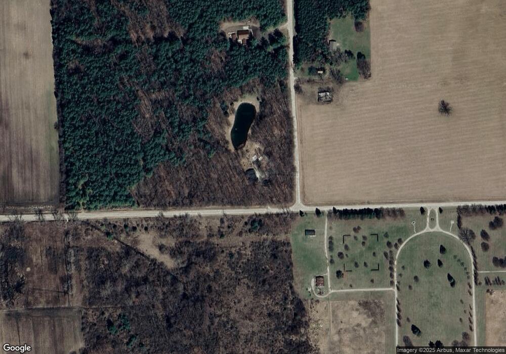
Map
Nearby Homes
- 5668 Mill St
- 5645 Mill St
- 5294 Sandusky Rd
- 0001 Duquette Rd
- 7347 Duquette Rd
- 6456 Bricker Rd
- 7907 Brockway Rd
- 8060 Brockway Rd
- 3571 Sandusky Rd
- 2302 Stiles Rd
- 0 Wellman Vl B Rd Unit 50192974
- 2240 Mark St
- 5375 Shawn St
- 2266 Bart St
- 2259 Bart St
- 2326 Mark St
- 2343 Tia St
- 0 Murray Rd Unit 20251029119
- 8961 Brockway Rd
- 2798 Harrington Rd