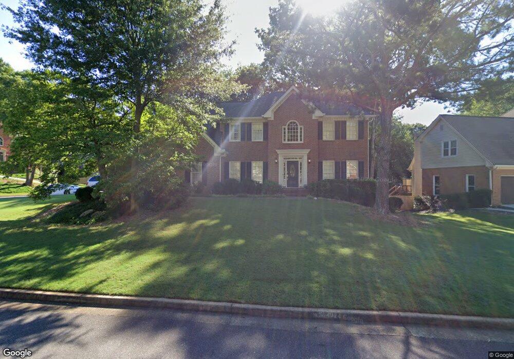
300 Welwyn Walk Unit 111 Alpharetta, GA 30022
Estimated Value: $712,000 - $802,000
5
Beds
3
Baths
2,248
Sq Ft
$334/Sq Ft
Est. Value
About This Home
This home is located at 300 Welwyn Walk Unit 111, Alpharetta, GA 30022 and is currently estimated at $751,302, approximately $334 per square foot. 300 Welwyn Walk Unit 111 is a home located in Fulton County with nearby schools including Ocee Elementary School, Taylor Road Middle School, and Chattahoochee High School.
Ownership History
Date
Name
Owned For
Owner Type
Purchase Details
Closed on
May 1, 2002
Sold by
Speir Wayne A and Speir Betty J
Bought by
Scales William H and Scales Robin P
Current Estimated Value
Home Financials for this Owner
Home Financials are based on the most recent Mortgage that was taken out on this home.
Original Mortgage
$264,000
Outstanding Balance
$113,435
Interest Rate
7.18%
Mortgage Type
New Conventional
Estimated Equity
$637,867
Create a Home Valuation Report for This Property
The Home Valuation Report is an in-depth analysis detailing your home's value as well as a comparison with similar homes in the area
Home Values in the Area
Average Home Value in this Area
Purchase History
| Date | Buyer | Sale Price | Title Company |
|---|---|---|---|
| Scales William H | $330,000 | -- |
Source: Public Records
Mortgage History
| Date | Status | Borrower | Loan Amount |
|---|---|---|---|
| Open | Scales William H | $264,000 |
Source: Public Records
Tax History Compared to Growth
Tax History
| Year | Tax Paid | Tax Assessment Tax Assessment Total Assessment is a certain percentage of the fair market value that is determined by local assessors to be the total taxable value of land and additions on the property. | Land | Improvement |
|---|---|---|---|---|
| 2025 | $834 | $307,760 | $85,080 | $222,680 |
| 2023 | $7,635 | $270,480 | $62,080 | $208,400 |
| 2022 | $3,692 | $204,360 | $42,200 | $162,160 |
| 2021 | $4,358 | $170,000 | $37,840 | $132,160 |
| 2020 | $4,379 | $170,000 | $37,840 | $132,160 |
| 2019 | $679 | $170,000 | $37,840 | $132,160 |
| 2018 | $4,063 | $175,080 | $36,960 | $138,120 |
| 2017 | $3,628 | $145,360 | $22,680 | $122,680 |
| 2016 | $3,609 | $145,360 | $22,680 | $122,680 |
| 2015 | $4,258 | $145,360 | $22,680 | $122,680 |
| 2014 | $3,451 | $130,920 | $25,280 | $105,640 |
Source: Public Records
Map
Nearby Homes
- 125 Sandridge Ct
- 610 Varina Way
- 10845 Carrissa Trail
- 465 Kirkstall Trail
- 825 Highland Bend Cove
- 10880 Windham Way
- 345 Kincardine Way Unit IIIA
- 3396 Carverton Ln
- 10530 Tuxford Dr
- 3430 Waters Mill Dr
- 105 Kimball Bridge Cove
- 710 Country Manor Way
- 285 Rolling Mist Ct
- 10900 Wittenridge Dr Unit I3
- 10900 Wittenridge Dr Unit H8
- 10900 Wittenridge Dr Unit L6
- 10900 Wittenridge Dr Unit C7
- 3962 Erin Dr
- 310 Welwyn Walk Unit 3
- 135 Sandridge Ct
- 100 Sandridge Ct
- 115 Sandridge Ct
- 305 Welwyn Walk
- 315 Welwyn Walk Unit III
- 105 Sandridge Ct
- 135 Jacaranda Ct
- 325 Welwyn Walk
- 330 Welwyn Walk
- 10810 Tuxford Dr
- 140 Sandridge Ct
- 10795 Tuxford Dr
- 525 Jacaranda Ct
- 415 Rheims Way Unit 353
- 415 Rheims Way Unit III
- 220 Bryn Athyn Ct
- 0 Welwyn Walk Unit 8709719
- 0 Welwyn Walk Unit 8578671
- 0 Welwyn Walk Unit 8533193