300 West St Lunenburg, MA 01462
Estimated Value: $514,000 - $594,000
3
Beds
2
Baths
1,680
Sq Ft
$324/Sq Ft
Est. Value
About This Home
This home is located at 300 West St, Lunenburg, MA 01462 and is currently estimated at $545,115, approximately $324 per square foot. 300 West St is a home located in Worcester County with nearby schools including Lunenburg Primary School, Lunenburg High School, and St Bernards Elementary School.
Ownership History
Date
Name
Owned For
Owner Type
Purchase Details
Closed on
Apr 14, 2016
Sold by
Klaft Walter D and Klaft Lynne S
Bought by
Morgan Marlo R and Morgan Bryan C
Current Estimated Value
Purchase Details
Closed on
Jan 30, 1998
Sold by
Benjamin Bldrs Rt and Lorden Gary
Bought by
Cochran John B and Mcgee Regina M
Purchase Details
Closed on
Jun 4, 1996
Sold by
Shirley Coop Bank
Bought by
Benjamin Builders Rt and Lorden Gary
Purchase Details
Closed on
Sep 14, 1995
Sold by
Molumco Dev Corp
Bought by
Klaft Walter D and Klaft Lynne S
Purchase Details
Closed on
May 5, 1995
Sold by
Hutchinson Robert L and Hutchinson Randall
Bought by
Molumco Dev Corp
Purchase Details
Closed on
Apr 23, 1993
Sold by
Barrett Louise B
Bought by
Hutchinson Robert L and Hutchinson Randall
Create a Home Valuation Report for This Property
The Home Valuation Report is an in-depth analysis detailing your home's value as well as a comparison with similar homes in the area
Home Values in the Area
Average Home Value in this Area
Purchase History
| Date | Buyer | Sale Price | Title Company |
|---|---|---|---|
| Morgan Marlo R | -- | -- | |
| Cochran John B | $197,037 | -- | |
| Benjamin Builders Rt | $25,000 | -- | |
| Klaft Walter D | $123,500 | -- | |
| Molumco Dev Corp | $155,000 | -- | |
| Aziz Joseph G | $5,000 | -- | |
| Hutchinson Robert L | $60,000 | -- |
Source: Public Records
Mortgage History
| Date | Status | Borrower | Loan Amount |
|---|---|---|---|
| Previous Owner | Hutchinson Robert L | $200,000 | |
| Previous Owner | Hutchinson Robert L | $65,000 |
Source: Public Records
Tax History Compared to Growth
Tax History
| Year | Tax Paid | Tax Assessment Tax Assessment Total Assessment is a certain percentage of the fair market value that is determined by local assessors to be the total taxable value of land and additions on the property. | Land | Improvement |
|---|---|---|---|---|
| 2025 | $7,019 | $488,800 | $171,400 | $317,400 |
| 2024 | $6,741 | $478,100 | $161,700 | $316,400 |
| 2023 | $6,316 | $432,000 | $146,700 | $285,300 |
| 2022 | $5,676 | $330,200 | $122,000 | $208,200 |
| 2020 | $5,594 | $308,700 | $122,000 | $186,700 |
| 2019 | $5,473 | $293,000 | $115,000 | $178,000 |
| 2018 | $5,226 | $265,300 | $110,700 | $154,600 |
| 2017 | $5,011 | $250,800 | $106,100 | $144,700 |
| 2016 | $4,757 | $242,600 | $100,800 | $141,800 |
| 2015 | $4,274 | $233,300 | $96,000 | $137,300 |
Source: Public Records
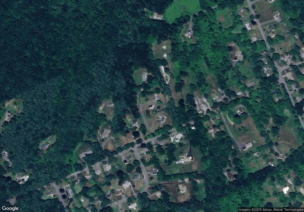
Map
Nearby Homes
- 6 Riley Rd Unit 6
- 200-365 Hollis Rd
- 77 Electric Ave
- 452 Hollis Rd
- 29 West St
- 830 Massachusetts Ave
- 711 Massachusetts Ave Unit 2
- 9 Fairview Rd
- 31 School St
- 35 Leominster Rd
- 44 Hamlin St
- 15 White St
- 3 Chase Ave
- 319 Highland St
- 1479 Main St
- 63 Holman St
- 305 Pleasant St
- 23 Tilton Ave
- 141 Pleasant St
- 3 Rennie St