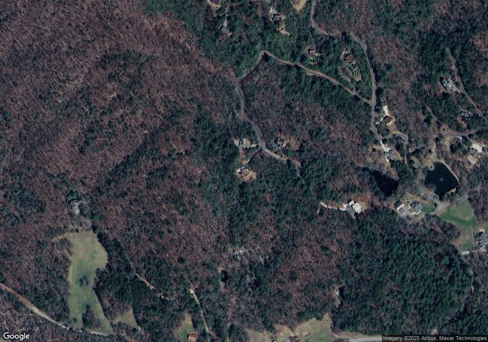
300 Westwood Run Epworth, GA 30541
Estimated Value: $653,937 - $844,000
--
Bed
--
Bath
2,310
Sq Ft
$328/Sq Ft
Est. Value
About This Home
This home is located at 300 Westwood Run, Epworth, GA 30541 and is currently estimated at $757,484, approximately $327 per square foot. 300 Westwood Run is a home with nearby schools including Fannin County High School.
Ownership History
Date
Name
Owned For
Owner Type
Purchase Details
Closed on
Mar 16, 2007
Sold by
Pack Michael L
Bought by
Jones James M and Jones Caron P
Current Estimated Value
Home Financials for this Owner
Home Financials are based on the most recent Mortgage that was taken out on this home.
Original Mortgage
$175,000
Outstanding Balance
$104,928
Interest Rate
6.27%
Mortgage Type
New Conventional
Estimated Equity
$652,556
Create a Home Valuation Report for This Property
The Home Valuation Report is an in-depth analysis detailing your home's value as well as a comparison with similar homes in the area
Home Values in the Area
Average Home Value in this Area
Purchase History
| Date | Buyer | Sale Price | Title Company |
|---|---|---|---|
| Jones James M | $373,500 | -- |
Source: Public Records
Mortgage History
| Date | Status | Borrower | Loan Amount |
|---|---|---|---|
| Open | Jones James M | $175,000 |
Source: Public Records
Tax History Compared to Growth
Tax History
| Year | Tax Paid | Tax Assessment Tax Assessment Total Assessment is a certain percentage of the fair market value that is determined by local assessors to be the total taxable value of land and additions on the property. | Land | Improvement |
|---|---|---|---|---|
| 2025 | $643 | $270,173 | $20,800 | $249,373 |
| 2024 | $643 | $240,074 | $20,800 | $219,274 |
| 2023 | $718 | $200,668 | $20,800 | $179,868 |
| 2022 | $720 | $202,893 | $20,800 | $182,093 |
| 2021 | $1,011 | $107,408 | $20,800 | $86,608 |
| 2020 | $1,026 | $107,408 | $20,800 | $86,608 |
| 2019 | $1,041 | $94,608 | $8,000 | $86,608 |
| 2018 | $1,104 | $94,608 | $8,000 | $86,608 |
| 2017 | $1,695 | $95,774 | $8,000 | $87,774 |
| 2016 | $821 | $71,287 | $9,000 | $62,287 |
| 2015 | $869 | $72,044 | $9,000 | $63,044 |
| 2014 | $1,496 | $101,496 | $11,520 | $89,976 |
| 2013 | -- | $113,662 | $24,064 | $89,598 |
Source: Public Records
Map
Nearby Homes
- 463 Big Sky Trail
- 6460 Highway 2
- 739 Big Sky Trail
- 300 Cloudland Trace
- 550 Watson Rd
- Tract 2 Emmaus Rd
- 28 AC Jolley Way
- 28.65 AC Jolley Way
- 85 Foster Cove Rd
- 126 Walter Mountain Dr
- 400 Cloudland Trace
- 100 Cohutta View Rd
- 101 Menagerie Ridge
- 370 High Ridge Rd
- 789 Jolley Way
- 6010 Highway 2
- 249 Settlement Rd
- 1056 Jolley Way
- 580 Emmaus Rd
- 138 Cottonwood Ln
- 295 Westwood Run
- 290 Westwood Run
- 295 Westwood Run Unit 29
- 295 Westwood Run
- 445 Westwood Run
- 30 Westwood Run
- 6960 Highway 2
- 133 Big Sky Trail
- 337 Big Sky Trail
- LT 32 Big Sky
- 22 Westwood Run
- 105 Sundance Ridge
- 108 Sundance Ridge
- 70 Lottie Ln
- 6894 Highway 2
- LT 37 Big Sky Trail
- # 42 Big Sky Trail
- # 40 Big Sky Trail
- 180 Big Sky Trail
- 0 Big Sky Unit 2&3 8222917
