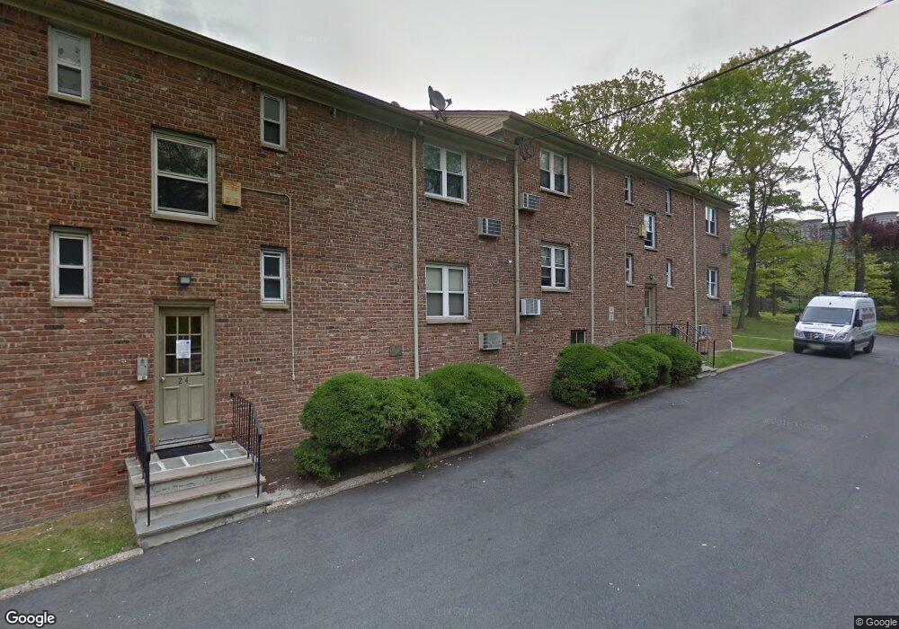
300 Wilson Rd Unit 22B Springfield, NJ 07081
Estimated Value: $248,000 - $295,000
1
Bed
1
Bath
650
Sq Ft
$423/Sq Ft
Est. Value
About This Home
This home is located at 300 Wilson Rd Unit 22B, Springfield, NJ 07081 and is currently estimated at $275,080, approximately $423 per square foot. 300 Wilson Rd Unit 22B is a home located in Union County with nearby schools including Jonathan Dayton High School and St James The Apostle School.
Ownership History
Date
Name
Owned For
Owner Type
Purchase Details
Closed on
Nov 27, 2024
Sold by
Mirjahangiry Dara
Bought by
Dm 300 Wilson Rd 22 Llc
Current Estimated Value
Purchase Details
Closed on
Oct 31, 2001
Sold by
Lemongello Mark R and Lemongello Betty Ann
Bought by
Nusholtz Jay and Nusholtz Sandra
Home Financials for this Owner
Home Financials are based on the most recent Mortgage that was taken out on this home.
Original Mortgage
$78,750
Interest Rate
6.64%
Create a Home Valuation Report for This Property
The Home Valuation Report is an in-depth analysis detailing your home's value as well as a comparison with similar homes in the area
Home Values in the Area
Average Home Value in this Area
Purchase History
| Date | Buyer | Sale Price | Title Company |
|---|---|---|---|
| Dm 300 Wilson Rd 22 Llc | -- | None Listed On Document | |
| Dm 300 Wilson Rd 22 Llc | -- | None Listed On Document | |
| Nusholtz Jay | $87,500 | -- |
Source: Public Records
Mortgage History
| Date | Status | Borrower | Loan Amount |
|---|---|---|---|
| Previous Owner | Nusholtz Jay | $78,750 |
Source: Public Records
Tax History
| Year | Tax Paid | Tax Assessment Tax Assessment Total Assessment is a certain percentage of the fair market value that is determined by local assessors to be the total taxable value of land and additions on the property. | Land | Improvement |
|---|---|---|---|---|
| 2025 | $5,023 | $211,500 | $115,000 | $96,500 |
| 2024 | $4,941 | $211,500 | $115,000 | $96,500 |
| 2023 | $4,941 | $211,500 | $115,000 | $96,500 |
| 2022 | $4,587 | $211,500 | $115,000 | $96,500 |
| 2021 | $5,435 | $73,000 | $35,000 | $38,000 |
| 2020 | $5,350 | $73,000 | $35,000 | $38,000 |
| 2019 | $5,278 | $73,000 | $35,000 | $38,000 |
| 2018 | $5,183 | $73,000 | $35,000 | $38,000 |
| 2017 | $5,041 | $73,000 | $35,000 | $38,000 |
| 2016 | $4,943 | $73,000 | $35,000 | $38,000 |
| 2015 | $4,885 | $73,000 | $35,000 | $38,000 |
| 2014 | -- | $73,000 | $35,000 | $38,000 |
Source: Public Records
Map
Nearby Homes
- 300 Wilson Rd Unit 24D
- 5B Troy Dr Unit 1
- 2 S Audlen Terrace
- 77B Troy Dr Unit 77B
- 33 Springbrook Rd
- 170 Short Hills Ave
- 37-39 Edison Dr
- 445 Morris Ave Unit 4C
- 445 Morris Ave Unit 11D
- 445 Morris Ave Unit D11
- 28 Morris Ave Unit DD
- 28 Shunpike Rd
- 7 Canterbury Ln
- 294 Mountain Ave
- 15 Canterbury Ln
- 24 Brook St
- 49-51 Caldwell Place Unit 5
- 39 Huntley Rd
- 82 Stony Ln
- 8 Woodstone Cir
- 300 Wilson Rd Unit 24C
- 300 Wilson Rd Unit 20
- 300 Wilson Rd Unit 12
- 300 Wilson Rd Unit 16
- 300 Wilson Rd Unit 14
- 300 Wilson Rd Unit 22A
- 300 Wilson Rd Unit 24A
- 300 Wilson Rd Unit 22C
- 300 Wilson Rd Unit 10
- 300 Wilson Rd Unit 22D
- 300 Wilson Rd Unit 18
- 300 Wilson Rd Unit 24B
- 300 Wilson Rd Unit D
- 300 Wilson Rd Unit B
- 300 Wilson Rd
- 300 Wilson Rd Unit 24-C
- 100 Wilson Rd
- 232 Baltusrol Way
- 200 Baltusrol Way
- 1-B Stone Hill Rd Bldg 27