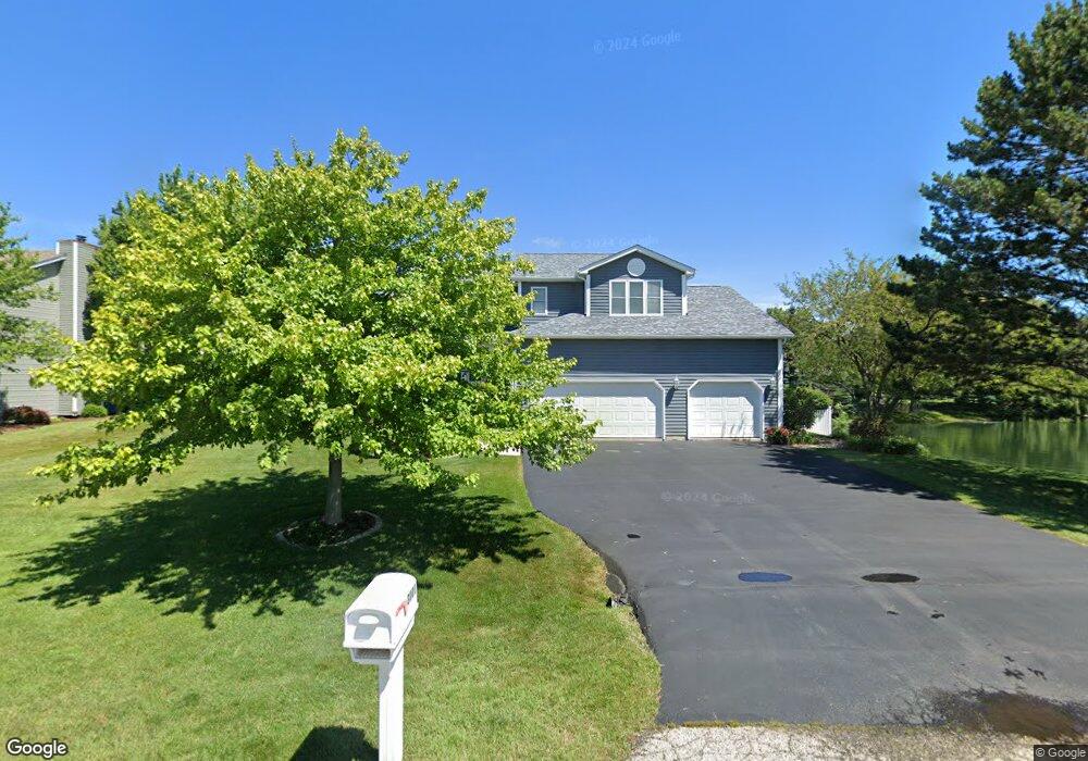
3000 5th St Winthrop Harbor, IL 60096
Estimated Value: $378,000 - $418,272
3
Beds
3
Baths
2,376
Sq Ft
$170/Sq Ft
Est. Value
About This Home
This home is located at 3000 5th St, Winthrop Harbor, IL 60096 and is currently estimated at $402,818, approximately $169 per square foot. 3000 5th St is a home located in Lake County with nearby schools including Westfield School, North Prairie Junior High School, and Zion-Benton Township High School.
Ownership History
Date
Name
Owned For
Owner Type
Purchase Details
Closed on
Jun 1, 2005
Sold by
Hutchings Cheryl Rhea and Hutchings Michael J
Bought by
Hutchings Michael J
Current Estimated Value
Purchase Details
Closed on
Jun 23, 1995
Sold by
Bank Of Waukegan
Bought by
Hutchings Michael J and Chandler Hutchings Cheryl A
Home Financials for this Owner
Home Financials are based on the most recent Mortgage that was taken out on this home.
Original Mortgage
$110,000
Interest Rate
7.88%
Create a Home Valuation Report for This Property
The Home Valuation Report is an in-depth analysis detailing your home's value as well as a comparison with similar homes in the area
Home Values in the Area
Average Home Value in this Area
Purchase History
| Date | Buyer | Sale Price | Title Company |
|---|---|---|---|
| Hutchings Michael J | -- | -- | |
| Hutchings Michael J | $189,500 | -- |
Source: Public Records
Mortgage History
| Date | Status | Borrower | Loan Amount |
|---|---|---|---|
| Closed | Hutchings Michael J | $110,000 |
Source: Public Records
Tax History
| Year | Tax Paid | Tax Assessment Tax Assessment Total Assessment is a certain percentage of the fair market value that is determined by local assessors to be the total taxable value of land and additions on the property. | Land | Improvement |
|---|---|---|---|---|
| 2024 | $10,039 | $109,351 | $9,576 | $99,775 |
| 2023 | $9,411 | $101,657 | $9,244 | $92,413 |
| 2022 | $9,411 | $91,994 | $9,028 | $82,966 |
| 2021 | $9,638 | $89,654 | $8,798 | $80,856 |
| 2020 | $9,353 | $85,556 | $8,396 | $77,160 |
| 2019 | $9,130 | $81,173 | $7,966 | $73,207 |
| 2018 | $8,646 | $76,817 | $9,651 | $67,166 |
| 2017 | $8,584 | $72,264 | $9,079 | $63,185 |
| 2016 | $8,365 | $68,796 | $8,643 | $60,153 |
| 2015 | $8,225 | $63,092 | $7,926 | $55,166 |
| 2014 | $8,182 | $65,115 | $18,371 | $46,744 |
| 2012 | $8,041 | $67,666 | $19,091 | $48,575 |
Source: Public Records
Map
Nearby Homes
- 214 Garnett Ave
- 809 Thompson Ave
- 440 Megan Place
- 732 Whitney Ave
- 1636 Deerpath Cir
- 1136 Adams Ave
- 3106 13th St
- 3015 13th St
- Lt0 39th Ave
- 0 14th St Unit MRD12502206
- 210 Oak Ln
- 1808 13th St
- 1234 Fulton Ave
- 2810 15th St
- 1400 Sheridan Rd
- 11810 25th Ct
- 1715 14th St
- 11624 28th Ave
- 11778 W 12th St
- 1405 Lewis Ave
- 3010 5th St
- 413 Chatham Cove
- 413 Chatham Ct
- 415 Chatham Cove
- 411 Chatham Cove
- 3020 5th St
- 419 Old Darby Ln
- 417 Chatham Cove
- 421 Old Darby Ln
- 409 Chatham Cove
- 407 Chatham Cove
- 436 North Ave
- 442 North Ave
- 405 Chatham Cove
- 430 North Ave
- 424 North Ave
- 438 Roberts Rd
- 410 Old Darby Ln
- 511 Roberts Rd
- 403 Old Darby Ln