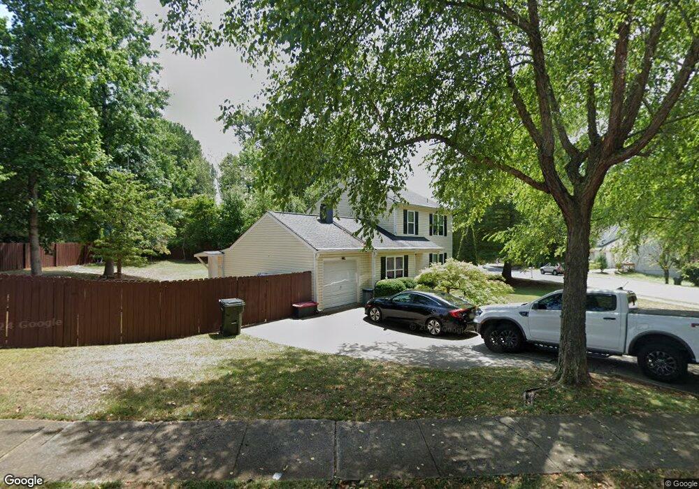
3000 Carrie Farm Rd NW Unit 1 Kennesaw, GA 30144
Estimated Value: $332,116 - $360,000
3
Beds
3
Baths
1,464
Sq Ft
$236/Sq Ft
Est. Value
About This Home
This home is located at 3000 Carrie Farm Rd NW Unit 1, Kennesaw, GA 30144 and is currently estimated at $345,779, approximately $236 per square foot. 3000 Carrie Farm Rd NW Unit 1 is a home located in Cobb County with nearby schools including Kennesaw Elementary School, Big Shanty Elementary School, and Palmer Middle School.
Ownership History
Date
Name
Owned For
Owner Type
Purchase Details
Closed on
Oct 7, 2024
Sold by
Rol Real Estate Llc
Bought by
Gpr Real Estate Llc
Current Estimated Value
Purchase Details
Closed on
Aug 11, 2015
Sold by
Thorp Terry
Bought by
Rol Real Estate Llc
Purchase Details
Closed on
Jul 28, 2014
Sold by
Rol Real Estate Llc
Bought by
Thorp Terry
Home Financials for this Owner
Home Financials are based on the most recent Mortgage that was taken out on this home.
Original Mortgage
$90,000
Interest Rate
4.19%
Mortgage Type
New Conventional
Purchase Details
Closed on
Dec 23, 1998
Sold by
Googe Jimmy
Bought by
Thorp Terry
Purchase Details
Closed on
Sep 6, 1994
Sold by
Lofasso Jennie J
Bought by
Googe Jimmy
Create a Home Valuation Report for This Property
The Home Valuation Report is an in-depth analysis detailing your home's value as well as a comparison with similar homes in the area
Home Values in the Area
Average Home Value in this Area
Purchase History
| Date | Buyer | Sale Price | Title Company |
|---|---|---|---|
| Gpr Real Estate Llc | -- | None Listed On Document | |
| Rol Real Estate Llc | -- | -- | |
| Thorp Terry | -- | -- | |
| Thorp Terry | -- | -- | |
| Googe Jimmy | $36,600 | -- |
Source: Public Records
Mortgage History
| Date | Status | Borrower | Loan Amount |
|---|---|---|---|
| Previous Owner | Thorp Terry | $90,000 |
Source: Public Records
Tax History Compared to Growth
Tax History
| Year | Tax Paid | Tax Assessment Tax Assessment Total Assessment is a certain percentage of the fair market value that is determined by local assessors to be the total taxable value of land and additions on the property. | Land | Improvement |
|---|---|---|---|---|
| 2024 | $3,729 | $123,680 | $30,000 | $93,680 |
| 2023 | $3,729 | $123,680 | $30,000 | $93,680 |
| 2022 | $3,111 | $102,500 | $22,000 | $80,500 |
| 2021 | $2,354 | $77,564 | $16,000 | $61,564 |
| 2020 | $2,130 | $70,192 | $16,000 | $54,192 |
| 2019 | $1,725 | $56,848 | $14,000 | $42,848 |
| 2018 | $1,725 | $56,848 | $14,000 | $42,848 |
| 2017 | $1,395 | $48,528 | $14,000 | $34,528 |
| 2016 | $1,324 | $46,068 | $12,000 | $34,068 |
| 2015 | $1,109 | $37,660 | $10,400 | $27,260 |
| 2014 | $1,119 | $37,660 | $0 | $0 |
Source: Public Records
Map
Nearby Homes
- 2987 Carrie Farm Rd NW
- 1050 Towne Manor Ct NW
- 1035 Towne Manor Ct NW
- 2804 Vintage Wood Way NW
- 2160 Towne Manor Dr NW
- 2939 Carrie Farm Rd NW Unit 1A
- 1700 English Ivey Ln NW
- 3065 Kings Dr NW
- 1614 Vinebrook Terrace NW
- The Kennedy Plan at Devin's Shire
- The Kingsley Plan at Devin's Shire
- The Kensington Plan at Devin's Shire
- 3080 Pine Hill Dr NW
- 1998 Pine Hill Cir NW
- Kincade Plan at Townes at South Main
- Kaufman Plan at Townes at South Main
- 1980 Deco Dr
- 1931 Deco Dr
- 1995 Deco Dr
- 1915 Deco Dr
- 1660 Carrie Farm Ln NW
- 1658 Carrie Farm Ln NW
- 1663 Carrie Farm Ln NW Unit 1
- 1195 Mark Place NW
- 1661 Carrie Farm Ln NW Unit 1
- 1656 Carrie Farm Ln NW
- 1659 Carrie Farm Ln NW
- 1185 Mark Place NW
- 1205 Mark Place NW
- 1654 Carrie Farm Ln NW
- 2996 Carrie Farm Rd NW
- 1657 Carrie Farm Ln NW
- 2997 Carrie Farm Rd NW
- 0 Carrie Farm Rd NW Unit 7511224
- 0 Carrie Farm Rd NW Unit 7357084
- 0 Carrie Farm Rd NW Unit 8626151
- 0 Carrie Farm Rd NW Unit 8616110
- 0 Carrie Farm Rd NW Unit 8581982
- 0 Carrie Farm Rd NW Unit 8581716
- 0 Carrie Farm Rd NW Unit 8040117