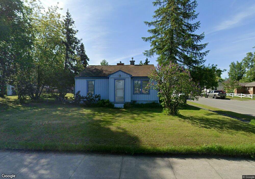
3000 Debarr Rd Anchorage, AK 99508
Airport Heights NeighborhoodEstimated Value: $197,000 - $353,280
2
Beds
1
Bath
1,568
Sq Ft
$186/Sq Ft
Est. Value
About This Home
This home is located at 3000 Debarr Rd, Anchorage, AK 99508 and is currently estimated at $291,070, approximately $185 per square foot. 3000 Debarr Rd is a home located in Anchorage Municipality with nearby schools including Airport Heights Elementary School, Wendler Middle School, and Bettye Davis East Anchorage High School.
Ownership History
Date
Name
Owned For
Owner Type
Purchase Details
Closed on
Aug 16, 2004
Sold by
Morrell Gerald K and Morrell Louise E
Bought by
Peirce John W
Current Estimated Value
Home Financials for this Owner
Home Financials are based on the most recent Mortgage that was taken out on this home.
Original Mortgage
$156,306
Outstanding Balance
$78,383
Interest Rate
6.17%
Mortgage Type
FHA
Estimated Equity
$212,687
Purchase Details
Closed on
Sep 17, 1990
Sold by
Kemp Jack and Secretary/Housing & Urban Dev
Bought by
Morrell Gerald K and Morrell Louise E
Create a Home Valuation Report for This Property
The Home Valuation Report is an in-depth analysis detailing your home's value as well as a comparison with similar homes in the area
Home Values in the Area
Average Home Value in this Area
Purchase History
| Date | Buyer | Sale Price | Title Company |
|---|---|---|---|
| Peirce John W | -- | -- | |
| Morrell Gerald K | -- | -- |
Source: Public Records
Mortgage History
| Date | Status | Borrower | Loan Amount |
|---|---|---|---|
| Open | Peirce John W | $156,306 |
Source: Public Records
Tax History Compared to Growth
Tax History
| Year | Tax Paid | Tax Assessment Tax Assessment Total Assessment is a certain percentage of the fair market value that is determined by local assessors to be the total taxable value of land and additions on the property. | Land | Improvement |
|---|---|---|---|---|
| 2025 | $1,135 | $311,700 | $101,300 | $210,400 |
| 2024 | $1,135 | $295,300 | $101,300 | $194,000 |
| 2023 | $4,569 | $268,300 | $101,300 | $167,000 |
| 2022 | $4,471 | $265,500 | $101,300 | $164,200 |
| 2021 | $4,327 | $240,100 | $101,300 | $138,800 |
| 2020 | $4,104 | $241,400 | $101,300 | $140,100 |
| 2019 | $3,895 | $238,100 | $101,300 | $136,800 |
| 2018 | $3,905 | $238,100 | $101,300 | $136,800 |
| 2017 | $3,793 | $242,200 | $101,300 | $140,900 |
| 2016 | $3,242 | $225,300 | $85,100 | $140,200 |
| 2015 | $3,242 | $222,500 | $85,100 | $137,400 |
| 2014 | $3,242 | $221,900 | $78,400 | $143,500 |
Source: Public Records
Map
Nearby Homes
- 1414 Airport Heights Dr
- 1430 Columbine St
- 3401 E 15th Ave
- 1701 Aleutian St
- 1811 Talkeetna St
- 2215 Sunburst Cir
- 1760 Eastridge Dr
- 1625 Sitka St Unit 103
- 000 Tr A Thurston
- 4011 San Roberto Ave
- 1833 Parkside Dr
- 550 Bragaw St
- 611 Bragaw St
- 3964 Reka Dr Unit D3
- 1803 Parkside Dr
- 2068 Cliffside Dr Unit 11
- 4026 E 6th Ave
- 4075 E 20th Ave Unit B44
- 4333 San Ernesto Ave Unit 207A
- 4330 San Roberto Ave
- 1317 Garden St
- 1329 Garden St
- 1302 Garden St
- 1314 Garden St
- 1337 Garden St
- 1324 Garden St
- NHN Tr A Thurston
- L1 B9 E 16th Ave
- 3724 Lake Otis Pkwy
- L3 B2 Flower St
- L2 Boniface Pkwy
- L1 B14 Lane
- L2 B14 Lane
- 4003 Lake Otis Pkwy
- Tr B S Brody St
- L14 B12 Mt View Dr
- L13 B12 Mt View Dr
- L12 B12 Mt View Dr
- 1340 Airport Heights Dr
- 1342 Garden St