Estimated Value: $919,000 - $1,507,000
5
Beds
1
Bath
3,318
Sq Ft
$342/Sq Ft
Est. Value
About This Home
This home is located at 30010 S 587 Cir, Grove, OK 74344 and is currently estimated at $1,134,852, approximately $342 per square foot. 30010 S 587 Cir is a home located in Delaware County with nearby schools including Grove Lower Elementary School, Grove Upper Elementary School, and Grove Middle School.
Ownership History
Date
Name
Owned For
Owner Type
Purchase Details
Closed on
Feb 24, 2022
Sold by
Stockwell James C and Stockwell Vickie A
Bought by
Revocable Trust
Current Estimated Value
Purchase Details
Closed on
Jul 18, 2007
Sold by
Shary Alreda M
Bought by
Stockwell Vicki H
Home Financials for this Owner
Home Financials are based on the most recent Mortgage that was taken out on this home.
Original Mortgage
$417,000
Interest Rate
6.71%
Mortgage Type
New Conventional
Purchase Details
Closed on
Jul 16, 2007
Sold by
Stockwell Vicki H and Stockwell James C
Bought by
Stockwell Vicki H and Stockwell James C
Home Financials for this Owner
Home Financials are based on the most recent Mortgage that was taken out on this home.
Original Mortgage
$417,000
Interest Rate
6.71%
Mortgage Type
New Conventional
Purchase Details
Closed on
Nov 3, 1995
Sold by
Harmony Point Homeowners Ltds
Create a Home Valuation Report for This Property
The Home Valuation Report is an in-depth analysis detailing your home's value as well as a comparison with similar homes in the area
Home Values in the Area
Average Home Value in this Area
Purchase History
| Date | Buyer | Sale Price | Title Company |
|---|---|---|---|
| Revocable Trust | -- | None Listed On Document | |
| Revocable Trust | -- | None Listed On Document | |
| Stockwell Vicki H | -- | -- | |
| Stockwell Vicki H | -- | -- | |
| Stockwell Vicki H | $600,000 | -- | |
| -- | $500 | -- |
Source: Public Records
Mortgage History
| Date | Status | Borrower | Loan Amount |
|---|---|---|---|
| Previous Owner | Stockwell Vicki H | $417,000 |
Source: Public Records
Tax History Compared to Growth
Tax History
| Year | Tax Paid | Tax Assessment Tax Assessment Total Assessment is a certain percentage of the fair market value that is determined by local assessors to be the total taxable value of land and additions on the property. | Land | Improvement |
|---|---|---|---|---|
| 2025 | $5,262 | $67,970 | $18,615 | $49,355 |
| 2024 | $5,262 | $65,991 | $18,073 | $47,918 |
| 2023 | $5,262 | $64,068 | $18,006 | $46,062 |
| 2022 | $5,110 | $64,068 | $17,992 | $46,076 |
| 2021 | $4,948 | $62,202 | $17,992 | $44,210 |
| 2020 | $4,883 | $60,390 | $17,992 | $42,398 |
| 2019 | $4,755 | $56,925 | $17,992 | $38,933 |
| 2018 | $4,605 | $56,925 | $17,992 | $38,933 |
| 2017 | $4,483 | $55,266 | $17,991 | $37,275 |
| 2016 | $4,348 | $52,127 | $17,993 | $34,134 |
| 2015 | $4,106 | $48,567 | $17,705 | $30,862 |
| 2014 | $4,126 | $48,567 | $17,705 | $30,862 |
Source: Public Records
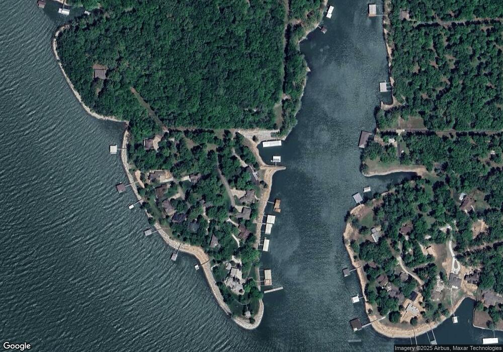
Map
Nearby Homes
- 29641 S 586 Ln
- 58551 E 296 Place
- TBD S 592 Place
- 29524 S 585 Ct
- TBD S 585 Ct
- 4451 W 20th Rd
- 6026 Lake Breeze Rd
- 29901 S 595 Rd
- 402 Fairway Cir
- 4926 Lost Cove Rd
- 5070 Lake Breeze Rd
- 56901 E Walnut Dr
- 0 E 304 Rd Unit 25-955
- 0 E 304 Rd Unit 2518957
- 31101 S 595 Trail
- Lot 103 S 567 Rd
- 29997 S 567 Rd
- 29997 S 567 Rd
- 1029 Village Dr
- 57450 E Highway 125 Unit 535
- 0 S 587 Cir
- 30020 S 587 Cir
- 30040 S 587 Cir
- 30030 S 587 Cir
- 30101 S 587 Cir
- 30101 S 587 Cir
- 30101 S 587 Cir
- 30110 S 587 Cir
- 30100 S 587 Cir
- 30103 S 587 Cir
- 30130 S 587 Cir
- 30138 S 587 Cir
- 30150 S 587 Cir
- 30176 S 587 Cir
- 36800 E 300 Rd
- 58910 E 301 Ln
- 58881 E 301 Ln
- 29770 S 587 Rd
- 58891 E 301 Ln
- 0 E 301 Ln