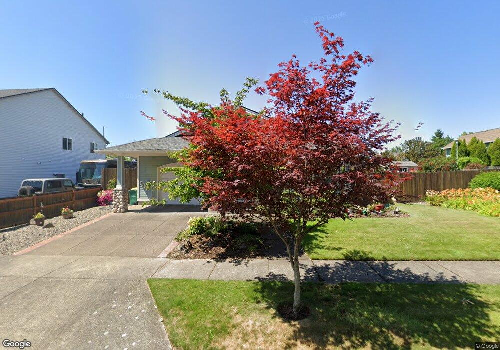
3002 Brooke St Forest Grove, OR 97116
Estimated Value: $472,000 - $544,000
3
Beds
2
Baths
1,456
Sq Ft
$346/Sq Ft
Est. Value
About This Home
This home is located at 3002 Brooke St, Forest Grove, OR 97116 and is currently estimated at $503,210, approximately $345 per square foot. 3002 Brooke St is a home located in Washington County with nearby schools including Harvey Clarke Elementary School, Tom McCall Upper Elementary School, and Neil Armstrong Middle School.
Ownership History
Date
Name
Owned For
Owner Type
Purchase Details
Closed on
Jan 15, 2014
Sold by
Matson Barbara A
Bought by
Matson Barbara Ann and Matson Kathryn
Current Estimated Value
Purchase Details
Closed on
Oct 8, 2013
Sold by
Root Jeremy S and Root Nancy L
Bought by
Matson Barbara A
Purchase Details
Closed on
Dec 31, 2012
Sold by
Parente Julie D
Bought by
Root Jeremy S and Root Nancy L
Purchase Details
Closed on
Jul 29, 2011
Sold by
Parente Julie D
Bought by
Parente Julie D and Root Jeremy S
Purchase Details
Closed on
Mar 30, 2009
Sold by
Parente Julie
Bought by
Parente Julie D and Tortolani Audrey
Purchase Details
Closed on
Apr 10, 2000
Sold by
Quail Construction Inc
Bought by
Parente Julie
Create a Home Valuation Report for This Property
The Home Valuation Report is an in-depth analysis detailing your home's value as well as a comparison with similar homes in the area
Home Values in the Area
Average Home Value in this Area
Purchase History
| Date | Buyer | Sale Price | Title Company |
|---|---|---|---|
| Matson Barbara Ann | -- | None Available | |
| Matson Barbara A | $230,000 | First American | |
| Root Jeremy S | -- | None Available | |
| Parente Julie D | -- | None Available | |
| Parente Julie D | -- | None Available | |
| Parente Julie | $60,000 | First American Title Co |
Source: Public Records
Tax History Compared to Growth
Tax History
| Year | Tax Paid | Tax Assessment Tax Assessment Total Assessment is a certain percentage of the fair market value that is determined by local assessors to be the total taxable value of land and additions on the property. | Land | Improvement |
|---|---|---|---|---|
| 2026 | $4,615 | $259,160 | -- | -- |
| 2025 | $4,615 | $251,620 | -- | -- |
| 2024 | $4,452 | $244,300 | -- | -- |
| 2023 | $4,452 | $237,190 | $0 | $0 |
| 2022 | $3,893 | $237,190 | $0 | $0 |
| 2021 | $3,843 | $223,590 | $0 | $0 |
| 2020 | $3,822 | $217,080 | $0 | $0 |
| 2019 | $3,737 | $210,760 | $0 | $0 |
| 2018 | $3,623 | $204,630 | $0 | $0 |
| 2017 | $3,510 | $198,670 | $0 | $0 |
| 2016 | $3,412 | $192,890 | $0 | $0 |
| 2015 | $3,281 | $187,280 | $0 | $0 |
| 2014 | $3,265 | $181,830 | $0 | $0 |
Source: Public Records
Map
Nearby Homes
- 1425 Willamina Ave
- 1224 Alyssum Ave
- 1104 Magnolia Way
- 1315 Begonia Ave
- 922 Rosebud Ct
- 1611 Camino Dr
- 1609 Camino Dr
- 918 Rosebud Ct
- 911 Rosebud Ct
- 920 Rosebud Ct
- 924 Rosebud Ct
- 507-FH Plan at Parkview Terrace
- 504-STD Plan at Parkview Terrace
- Poppy - Plan 308C at Parkview Terrace
- 430A Plan at Parkview Terrace
- Plan 400 at Parkview Terrace
- 506-FH Plan at Parkview Terrace
- Plan 325 at Parkview Terrace
- 505-STD Plan at Parkview Terrace
- 508-MFH Plan at Parkview Terrace
- 2950 Brooke St
- 1350 Snapdragon Ave
- 3004 Brooke St
- 3007 Periwinkle St
- 1411 Snapdragon Ln
- 1344 Snapdragon Ave
- 2940 Brooke St
- 3012 Brooke St
- 3011 Brooke St
- 3013 Periwinkle St
- 1412 Snapdragon Ln
- 1338 Snapdragon Ave
- 1419 Snapdragon Ln
- 2930 Brooke St
- 3020 Brooke St
- 1337 Snapdragon Ave
- 1337 Snapdragon Ln
- 3019 Periwinkle St
- 1417 Bonnie Ln
- 1220 Snapdragon Ln