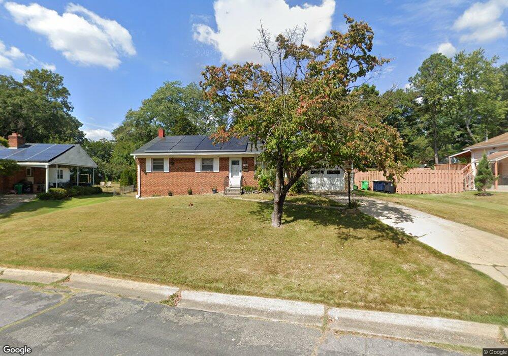
3002 Duncan Dr Adelphi, MD 20783
Estimated Value: $451,662 - $538,000
Studio
1
Bath
1,471
Sq Ft
$343/Sq Ft
Est. Value
About This Home
This home is located at 3002 Duncan Dr, Adelphi, MD 20783 and is currently estimated at $504,166, approximately $342 per square foot. 3002 Duncan Dr is a home located in Prince George's County with nearby schools including Cherokee Lane Elementary School, Buck Lodge Middle School, and High Point High School.
Ownership History
Date
Name
Owned For
Owner Type
Purchase Details
Closed on
Jun 19, 1995
Sold by
Hartley Hillegonda R
Bought by
Arah Benjamin O
Current Estimated Value
Home Financials for this Owner
Home Financials are based on the most recent Mortgage that was taken out on this home.
Original Mortgage
$155,800
Interest Rate
8.24%
Purchase Details
Closed on
Feb 16, 1989
Sold by
Calderwood Thomas
Bought by
Hartley Hillegonda R
Create a Home Valuation Report for This Property
The Home Valuation Report is an in-depth analysis detailing your home's value as well as a comparison with similar homes in the area
Home Values in the Area
Average Home Value in this Area
Purchase History
| Date | Buyer | Sale Price | Title Company |
|---|---|---|---|
| Arah Benjamin O | $164,000 | -- | |
| Hartley Hillegonda R | $155,000 | -- |
Source: Public Records
Mortgage History
| Date | Status | Borrower | Loan Amount |
|---|---|---|---|
| Open | Arah Benjamin O | $160,000 | |
| Closed | Arah Benjamin O | $155,800 |
Source: Public Records
Tax History
| Year | Tax Paid | Tax Assessment Tax Assessment Total Assessment is a certain percentage of the fair market value that is determined by local assessors to be the total taxable value of land and additions on the property. | Land | Improvement |
|---|---|---|---|---|
| 2025 | $6,603 | $454,733 | -- | -- |
| 2024 | $6,603 | $417,500 | $126,200 | $291,300 |
| 2023 | $6,538 | $413,200 | $0 | $0 |
| 2022 | $6,474 | $408,900 | $0 | $0 |
| 2021 | $6,410 | $404,600 | $125,600 | $279,000 |
| 2020 | $6,126 | $385,500 | $0 | $0 |
| 2019 | $5,843 | $366,400 | $0 | $0 |
| 2018 | $5,559 | $347,300 | $100,600 | $246,700 |
| 2017 | $5,066 | $314,133 | $0 | $0 |
| 2016 | -- | $280,967 | $0 | $0 |
| 2015 | $3,792 | $247,800 | $0 | $0 |
| 2014 | $3,792 | $247,800 | $0 | $0 |
Source: Public Records
Map
Nearby Homes
- 10410 Rutland Place
- 2703 Lackawanna Place
- 9206 Muskogee Place
- 8916 Trapper Ln
- 9549 Riggs Rd
- 2712 Hughes Rd
- 1909 Forest Dale Dr
- 10224 Green Forest Dr
- 1912 Kimberly Rd
- 1724 Overlook Dr
- 9213 Saint Andrews Place
- 2502 Hughes Rd
- 11220 Cherry Hill Rd
- 11212 Cherry Hill Rd Unit 302
- 11216 Cherry Hill Rd Unit 304
- 11238 Cherry Hill Rd Unit 102
- 11242 Cherry Hill Rd Unit T1
- 11200 Cherry Hill Rd Unit 203
- 11206 Cherry Hill Rd Unit T4
- 11204 Cherry Hill Rd Unit T2
- 3004 Duncan Dr
- 3000 Duncan Dr
- 10501 Edgemont Dr
- 10503 Edgemont Dr
- 3006 Duncan Dr
- 3001 Duncan Dr
- 10505 Edgemont Dr
- 3003 Duncan Dr
- 10500 Edgemont Dr
- 3005 Duncan Dr
- 10507 Edgemont Dr
- 3007 Duncan Dr
- 3008 Duncan Dr
- 10502 Edgemont Dr
- 10509 Edgemont Dr
- 3009 Duncan Dr
- 10504 Edgemont Dr
- 3010 Duncan Dr
- 10506 Edgemont Dr
- 10511 Edgemont Dr
Your Personal Tour Guide
Ask me questions while you tour the home.