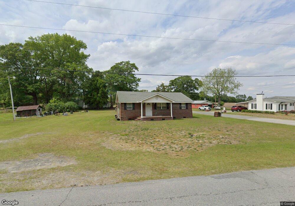
3002 Jim Sutton Rd La Grange, NC 28551
Estimated Value: $143,000 - $165,000
3
Beds
2
Baths
999
Sq Ft
$152/Sq Ft
Est. Value
About This Home
This home is located at 3002 Jim Sutton Rd, La Grange, NC 28551 and is currently estimated at $151,632, approximately $151 per square foot. 3002 Jim Sutton Rd is a home located in Lenoir County with nearby schools including La Grange Elementary School, E.B. Frink Middle School, and North Lenoir High School.
Ownership History
Date
Name
Owned For
Owner Type
Purchase Details
Closed on
Oct 11, 2006
Sold by
Jones William Ivey
Bought by
Dawson Kirby L
Current Estimated Value
Home Financials for this Owner
Home Financials are based on the most recent Mortgage that was taken out on this home.
Original Mortgage
$15,000
Outstanding Balance
$8,901
Interest Rate
6.36%
Mortgage Type
Future Advance Clause Open End Mortgage
Estimated Equity
$142,731
Create a Home Valuation Report for This Property
The Home Valuation Report is an in-depth analysis detailing your home's value as well as a comparison with similar homes in the area
Home Values in the Area
Average Home Value in this Area
Purchase History
| Date | Buyer | Sale Price | Title Company |
|---|---|---|---|
| Dawson Kirby L | $16,000 | None Available |
Source: Public Records
Mortgage History
| Date | Status | Borrower | Loan Amount |
|---|---|---|---|
| Open | Dawson Kirby L | $15,000 |
Source: Public Records
Tax History Compared to Growth
Tax History
| Year | Tax Paid | Tax Assessment Tax Assessment Total Assessment is a certain percentage of the fair market value that is determined by local assessors to be the total taxable value of land and additions on the property. | Land | Improvement |
|---|---|---|---|---|
| 2024 | $725 | $68,685 | $13,768 | $54,917 |
| 2023 | $698 | $68,685 | $13,768 | $54,917 |
| 2022 | $698 | $68,685 | $13,768 | $54,917 |
| 2021 | $698 | $68,685 | $13,768 | $54,917 |
| 2020 | $698 | $68,685 | $13,768 | $54,917 |
| 2019 | $698 | $68,685 | $13,768 | $54,917 |
| 2018 | $688 | $68,685 | $13,768 | $54,917 |
| 2017 | $685 | $68,685 | $13,768 | $54,917 |
| 2014 | $687 | $68,887 | $13,769 | $55,118 |
| 2013 | -- | $68,887 | $13,769 | $55,118 |
| 2011 | -- | $68,887 | $13,769 | $55,118 |
Source: Public Records
Map
Nearby Homes
- 3077 Brakefield Dr
- 6272 Highway 70 E
- 112 Abbey Frank St
- 3619 S Caswell St
- 4725 Packhouse Rd
- 3263 N Carolina 903
- Belhaven Plan at Blair Ridge
- Hayden Plan at Blair Ridge
- Cali Plan at Blair Ridge
- Freeport Plan at Blair Ridge
- 217 Wood St
- 210 Wood St
- 208 Wood St
- 201 Wood St
- 204 Wood St
- 205 Wood St
- 206 Wood St
- 202 Wood St
- 614 S Caswell St
- 4737 Willie White Rd
- 4710 Willie White Rd
- 4718 Mays Store Rd
- 4718 Mays Store Rd
- 4739 Willie White Rd
- 4745 Willie White Rd
- 4754 Willie White Rd
- 4746 Mays Store Rd
- 4760 Willie White Rd
- 4755 Willie White Rd
- 4760 Mays Store Rd
- 4761 Willie White Rd
- 4770 Willie White Rd
- 3026 Brakefield Dr
- 3036 Brakefield Dr
- 3056 Brakefield Dr
- 3094 Jim Sutton Rd
- 3088 Brakefield Dr
- 3053 Brakefield Dr
- 3098 Brakefield Dr