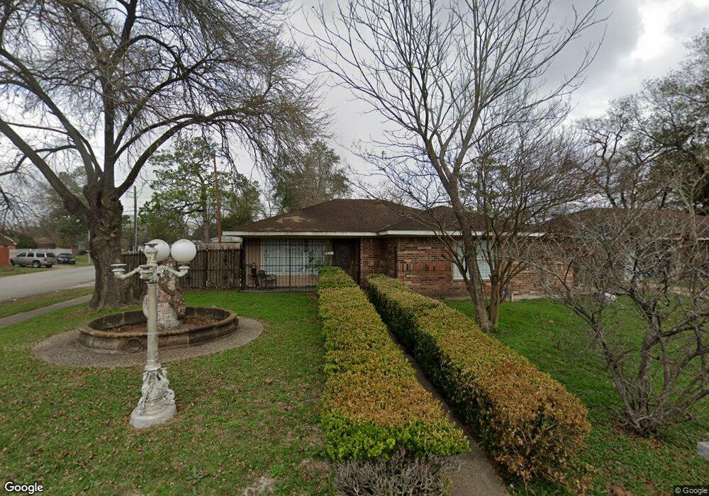
3003 Barksdale Dr Houston, TX 77093
Eastex-Jensen NeighborhoodEstimated Value: $204,000 - $250,000
3
Beds
1
Bath
2,066
Sq Ft
$108/Sq Ft
Est. Value
About This Home
This home is located at 3003 Barksdale Dr, Houston, TX 77093 and is currently estimated at $222,541, approximately $107 per square foot. 3003 Barksdale Dr is a home located in Harris County with nearby schools including Scarborough Elementary School, Patrick Henry Middle School, and Sam Houston Math, Science & Technology Center.
Ownership History
Date
Name
Owned For
Owner Type
Purchase Details
Closed on
Oct 2, 2003
Sold by
Garcia Sergio and Garcia Juana J
Bought by
Garcia Ricardo
Current Estimated Value
Purchase Details
Closed on
Oct 24, 2001
Sold by
Harvey Margo Annette
Bought by
Garcia Juana J
Purchase Details
Closed on
Jul 1, 1994
Sold by
Padaoan Feliciano G and Padaoan Rosemarie T
Bought by
Garcia Melisandra De Leon
Create a Home Valuation Report for This Property
The Home Valuation Report is an in-depth analysis detailing your home's value as well as a comparison with similar homes in the area
Home Values in the Area
Average Home Value in this Area
Purchase History
| Date | Buyer | Sale Price | Title Company |
|---|---|---|---|
| Garcia Ricardo | -- | -- | |
| Garcia Juana J | -- | -- | |
| Garcia Melisandra De Leon | -- | -- |
Source: Public Records
Tax History Compared to Growth
Tax History
| Year | Tax Paid | Tax Assessment Tax Assessment Total Assessment is a certain percentage of the fair market value that is determined by local assessors to be the total taxable value of land and additions on the property. | Land | Improvement |
|---|---|---|---|---|
| 2025 | $1,947 | $236,197 | $55,692 | $180,505 |
| 2024 | $1,947 | $226,405 | $45,900 | $180,505 |
| 2023 | $1,596 | $227,097 | $45,900 | $181,197 |
| 2022 | $3,056 | $201,098 | $30,600 | $170,498 |
| 2021 | $2,940 | $146,215 | $19,890 | $126,325 |
| 2020 | $2,777 | $137,894 | $19,890 | $118,004 |
| 2019 | $2,638 | $130,548 | $16,830 | $113,718 |
| 2018 | $1,627 | $94,782 | $16,830 | $77,952 |
| 2017 | $2,385 | $94,782 | $16,830 | $77,952 |
| 2016 | $2,168 | $85,759 | $16,830 | $68,929 |
| 2015 | $1,901 | $85,759 | $16,830 | $68,929 |
| 2014 | $1,901 | $104,508 | $16,830 | $87,678 |
Source: Public Records
Map
Nearby Homes
- 1904 Little York Rd
- 1728 Little York Rd
- 2636 Lone Oak Rd
- 4918 Langley Rd
- 2629 Kowis St
- 2817 Cromwell St
- 3418 Hopper Rd
- 3804 Cedar Hill Ln
- 3214 Brea Crest St
- 2315 Langley Rd
- 2915 Brea Crest St
- 2332 Margaret St
- 2415 Goodloe St
- 4410 Shelton Rd
- 2311 Warwick Rd
- 3202 Parker Rd
- 2237 Cromwell St
- 2152 William Tell St
- 3111 Hartwick Rd
- 2122 Kowis St
- 3007 Barksdale Dr
- 3008 Trenton Rd
- 3004 Trenton Rd
- 3012 Trenton Rd
- 2943 Barksdale Dr
- 3011 Barksdale Dr
- 3016 Trenton Rd
- 2940 Trenton Rd
- 3015 Barksdale Dr
- 2939 Barksdale Dr
- 2948 Barksdale Dr
- 3020 Trenton Rd
- 3012 Barksdale Dr
- 3008 Barksdale Dr
- 2944 Barksdale Dr
- 2936 Trenton Rd
- 3007 Trenton Rd
- 3011 Trenton Rd
- 2935 Barksdale Dr
- 3015 Trenton Rd