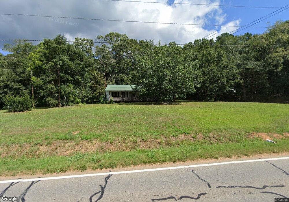
3003 Commerce Rd Jefferson, GA 30549
Estimated Value: $274,965 - $340,000
Studio
1
Bath
945
Sq Ft
$321/Sq Ft
Est. Value
About This Home
This home is located at 3003 Commerce Rd, Jefferson, GA 30549 and is currently estimated at $303,241, approximately $320 per square foot. 3003 Commerce Rd is a home located in Jackson County with nearby schools including Maysville Elementary School, East Jackson Middle School, and East Jackson Comprehensive High School.
Ownership History
Date
Name
Owned For
Owner Type
Purchase Details
Closed on
Mar 3, 2025
Sold by
Crumley Aubrey Chase
Bought by
Reid Heather Abbs
Current Estimated Value
Purchase Details
Closed on
Aug 19, 2020
Sold by
Jackson Brian
Bought by
Crumley Aubrey Chase
Home Financials for this Owner
Home Financials are based on the most recent Mortgage that was taken out on this home.
Original Mortgage
$177,217
Interest Rate
3%
Mortgage Type
New Conventional
Purchase Details
Closed on
Oct 23, 2003
Sold by
Jackson Elenor Potts
Bought by
Jackson Eleanor Potts
Purchase Details
Closed on
Oct 14, 1954
Sold by
C and F
Bought by
J and C
Create a Home Valuation Report for This Property
The Home Valuation Report is an in-depth analysis detailing your home's value as well as a comparison with similar homes in the area
Home Values in the Area
Average Home Value in this Area
Purchase History
| Date | Buyer | Sale Price | Title Company |
|---|---|---|---|
| Reid Heather Abbs | -- | -- | |
| Reid Heather Abbs | -- | -- | |
| Crumley Aubrey Chase | $172,000 | -- | |
| Jackson Eleanor Potts | -- | -- | |
| J | $200 | -- |
Source: Public Records
Mortgage History
| Date | Status | Borrower | Loan Amount |
|---|---|---|---|
| Previous Owner | Crumley Aubrey Chase | $177,217 |
Source: Public Records
Tax History
| Year | Tax Paid | Tax Assessment Tax Assessment Total Assessment is a certain percentage of the fair market value that is determined by local assessors to be the total taxable value of land and additions on the property. | Land | Improvement |
|---|---|---|---|---|
| 2025 | $2,877 | $113,720 | $31,440 | $82,280 |
| 2024 | $2,877 | $113,720 | $31,440 | $82,280 |
| 2023 | $2,907 | $103,360 | $31,440 | $71,920 |
| 2022 | $1,961 | $67,440 | $10,680 | $56,760 |
| 2021 | $1,974 | $67,440 | $10,680 | $56,760 |
| 2020 | $1,821 | $56,840 | $11,040 | $45,800 |
| 2019 | $1,848 | $56,840 | $11,040 | $45,800 |
| 2018 | $715 | $54,560 | $11,040 | $43,520 |
| 2017 | $524 | $48,599 | $8,863 | $39,736 |
| 2016 | $532 | $48,599 | $8,863 | $39,736 |
| 2015 | $536 | $48,599 | $8,863 | $39,736 |
| 2014 | $468 | $43,561 | $8,863 | $34,698 |
| 2013 | -- | $40,464 | $8,862 | $31,602 |
Source: Public Records
Map
Nearby Homes
- 725 County Farm Rd
- 1747 Mauldin Rd
- 662 Maley Rd
- 411 Elwyn Barrett Rd
- 918 Camellia Ln
- 820 Lakeview Bend Cir
- 224 Maley Rd
- 39 Ruby Robin Rd
- 127 Crimson Feather Dr
- 1429 Thyatia Brockton Rd
- 567 Lillian Way
- 174 Oakdale Rd Unit 34
- 174 Oakdale Rd
- 134 Oakdale Rd Unit 31
- 134 Oakdale Rd
- 233 Oakdale Rd Unit 53
- 311 Webb Meadows Dr
- 363 Psalms Dr
- 79 Blakewood Ct
- 191 Merwood Ln
- 0 Brockton Rd Unit 6013412
- 0 Brockton Rd Unit 8381741
- 0 Brockton Rd Unit 8380823
- 0 Brockton Rd Unit 8298234
- 0 Brockton Rd Unit 7418600
- 0 Brockton Rd Unit 7574845
- 0 Brockton Rd Unit 7640161
- 0 Brockton Rd Unit 8195482
- 0 Brockton Rd Unit 5323820
- 0 Brockton Rd Unit 5689217
- 0 Brockton Rd Unit (TRACT 1) 10319355
- 0 Brockton Rd Unit 10 CM971391
- 0 Brockton Rd Unit 2 CM971387
- 0 Brockton Rd Unit 3 CM971386
- 0 Brockton Rd Unit 8 CM971389
- 0 Brockton Rd Unit 9 CM971390
- 0 Brockton Rd Unit CM950253
- 0 Brockton Rd Unit 10359649
- 0 Brockton Rd Unit 7438423
- 0 Brockton Rd Unit 20128873
Your Personal Tour Guide
Ask me questions while you tour the home.