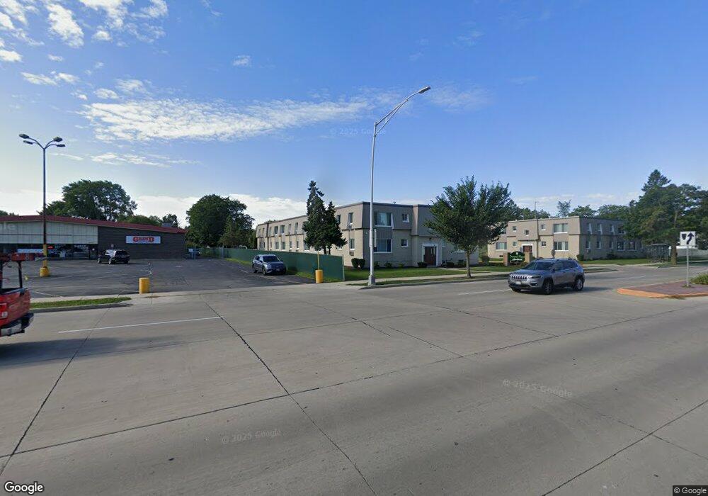
3003 Durand Ave Racine, WI 53403
Green Crest NeighborhoodEstimated Value: $8,227,013
1
Bed
1
Bath
9,832
Sq Ft
$837/Sq Ft
Est. Value
About This Home
This home is located at 3003 Durand Ave, Racine, WI 53403 and is currently estimated at $8,227,013, approximately $836 per square foot. 3003 Durand Ave is a home located in Racine County with nearby schools including Mitchell Elementary School, Mitchell Middle School, and Park High School.
Ownership History
Date
Name
Owned For
Owner Type
Purchase Details
Closed on
Apr 3, 2019
Sold by
Wisconsin Electric Power Company
Bought by
City Of Racine
Current Estimated Value
Purchase Details
Closed on
Jul 13, 2017
Sold by
Millennium Durand Plaza Llc
Bought by
Ereg Durand Plaza Llc
Home Financials for this Owner
Home Financials are based on the most recent Mortgage that was taken out on this home.
Original Mortgage
$3,000,000
Interest Rate
3.94%
Mortgage Type
Commercial
Create a Home Valuation Report for This Property
The Home Valuation Report is an in-depth analysis detailing your home's value as well as a comparison with similar homes in the area
Home Values in the Area
Average Home Value in this Area
Purchase History
| Date | Buyer | Sale Price | Title Company |
|---|---|---|---|
| City Of Racine | -- | None Available | |
| Ereg Durand Plaza Llc | $3,968,000 | None Available |
Source: Public Records
Mortgage History
| Date | Status | Borrower | Loan Amount |
|---|---|---|---|
| Previous Owner | Ereg Durand Plaza Llc | $3,000,000 |
Source: Public Records
Tax History Compared to Growth
Tax History
| Year | Tax Paid | Tax Assessment Tax Assessment Total Assessment is a certain percentage of the fair market value that is determined by local assessors to be the total taxable value of land and additions on the property. | Land | Improvement |
|---|---|---|---|---|
| 2024 | $101,190 | $4,246,000 | $400,000 | $3,846,000 |
| 2023 | $106,571 | $4,246,000 | $400,000 | $3,846,000 |
| 2022 | $107,202 | $4,246,000 | $400,000 | $3,846,000 |
| 2021 | $120,744 | $4,246,000 | $400,000 | $3,846,000 |
| 2020 | $118,024 | $4,246,000 | $400,000 | $3,846,000 |
| 2019 | $110,092 | $3,968,000 | $400,000 | $3,568,000 |
| 2018 | $95,056 | $0 | $0 | $0 |
| 2017 | $7,102 | $0 | $0 | $0 |
| 2016 | $2,762 | $0 | $0 | $0 |
| 2015 | $2,480 | $0 | $0 | $0 |
| 2014 | $2,480 | $0 | $0 | $0 |
| 2013 | $2,480 | $0 | $0 | $0 |
Source: Public Records
Map
Nearby Homes
- 3111 Wheelock Dr
- 2821 Pinehurst Ave
- 2712 Mitchell St
- 3427 E Elmwood Dr
- 2711 Gilson St
- 2908 Arlington Ave
- 2414 Cleveland Ave
- 3810 Durand Ave
- 2627 Lathrop Ave
- 3010 21st St
- 3221 Kearney Ave
- 2721 Brentwood Dr
- 2426 21st St
- 3330 Raymond Ct
- 3019 Phillips Ave
- 3031 Phillips Ave
- 3331 Green Meadows Ln
- 2005 Thurston Ave
- 2042 Hickory Grove Ave
- 3520 Pleasant Ln
- 3000 Durand Ave
- 3010 Durand Ave
- 3022 Durand Ave
- 2922 Durand Ave
- 2916 Durand Ave
- 2915 West Blvd
- 2912 Durand Ave
- 2908 Glendale Ave
- 2914 Glendale Ave
- 2904 Glendale Ave
- 2908 Durand Ave
- 2832 Glendale Ave
- 2920 Glendale Ave
- 3005 Dwight St
- 3001 Dwight St
- 3009 Dwight St
- 3013 Dwight St
- 2925 Dwight St
- 2907 West Blvd
- 2926 Glendale Ave