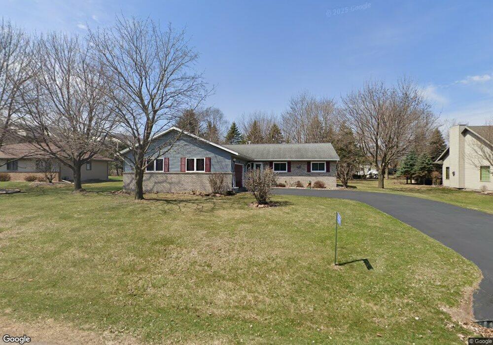
3004 Pheasant Ave Wausau, WI 54401
Estimated Value: $313,899 - $446,000
3
Beds
--
Bath
2,216
Sq Ft
$175/Sq Ft
Est. Value
About This Home
This home is located at 3004 Pheasant Ave, Wausau, WI 54401 and is currently estimated at $388,225, approximately $175 per square foot. 3004 Pheasant Ave is a home located in Marathon County with nearby schools including Rib Mountain Elementary School, John Muir Middle School, and West High School.
Ownership History
Date
Name
Owned For
Owner Type
Purchase Details
Closed on
Apr 14, 2008
Sold by
Hulgan Roger M and Hulgan Suzette M
Bought by
Meyer Gary E and Meyer Suzette R
Current Estimated Value
Home Financials for this Owner
Home Financials are based on the most recent Mortgage that was taken out on this home.
Original Mortgage
$50,000
Interest Rate
5.88%
Mortgage Type
Unknown
Create a Home Valuation Report for This Property
The Home Valuation Report is an in-depth analysis detailing your home's value as well as a comparison with similar homes in the area
Home Values in the Area
Average Home Value in this Area
Purchase History
| Date | Buyer | Sale Price | Title Company |
|---|---|---|---|
| Meyer Gary E | $191,000 | None Available |
Source: Public Records
Mortgage History
| Date | Status | Borrower | Loan Amount |
|---|---|---|---|
| Closed | Meyer Gary E | $50,000 |
Source: Public Records
Tax History Compared to Growth
Tax History
| Year | Tax Paid | Tax Assessment Tax Assessment Total Assessment is a certain percentage of the fair market value that is determined by local assessors to be the total taxable value of land and additions on the property. | Land | Improvement |
|---|---|---|---|---|
| 2024 | $4,335 | $243,000 | $41,700 | $201,300 |
| 2023 | $4,235 | $233,500 | $41,700 | $191,800 |
| 2022 | $4,446 | $233,500 | $41,700 | $191,800 |
| 2021 | $4,323 | $233,500 | $41,700 | $191,800 |
| 2020 | $4,282 | $233,500 | $41,700 | $191,800 |
| 2019 | $4,077 | $233,500 | $41,700 | $191,800 |
| 2018 | $3,960 | $191,200 | $37,600 | $153,600 |
| 2017 | $3,846 | $191,200 | $37,600 | $153,600 |
| 2016 | $3,868 | $191,200 | $37,600 | $153,600 |
| 2015 | $3,716 | $191,200 | $37,600 | $153,600 |
| 2014 | $3,651 | $191,200 | $37,600 | $153,600 |
Source: Public Records
Map
Nearby Homes
- 150811 Cth Nn
- 227308 Shrike Ave
- 150811 County Road Nn
- 150609 Lavender Ln
- 226440 Kingbird Ave
- 151257 Kingfisher Ln
- 226936 Boulder Ridge Cir
- Lot #24 Deer Tail Ln
- Lot #25 Deer Tail Ln
- Lot #37 Buck Wood Ln
- Lot #35 Buck Wood Ln
- Lot #34 Buck Wood Ln
- Lot #33 Buck Wood Ln
- 227815 Sharptail Rd
- 4201 Rib Mountain Dr
- 1601 Chellis St Unit 1607,1611Chellis,142
- 1423 Lake St
- 1419 Lake St
- 1438 Madison St
- 150939 Fern Ln
- 3100 Pheasant Ave
- 3000 Pheasant Ave
- 227250 Pheasant Ave
- 3003 Quail Ave
- 3005 Quail Ave
- 3001 Quail Ave
- 3102 Pheasant Ave
- 2908 Pheasant Ave
- 3003 Pheasant Ave
- 3005 Pheasant Ave
- 3001 Pheasant Ave
- 3101 Quail Ave
- 2909 Quail Ave
- 3101 Pheasant Ave
- 227287 Pheasant Ave
- 2909 Pheasant Ave
- 3104 Pheasant Ave
- 2906 Pheasant Ave
- 227062 Pheasant Ave
- 3103 Quail Ave