3004 Rock Branch Rd Elberton, GA 30635
Estimated Value: $105,000 - $236,000
--
Bed
1
Bath
944
Sq Ft
$165/Sq Ft
Est. Value
About This Home
This home is located at 3004 Rock Branch Rd, Elberton, GA 30635 and is currently estimated at $156,196, approximately $165 per square foot. 3004 Rock Branch Rd is a home located in Elbert County with nearby schools including Elbert County Primary School, Elbert County Elementary School, and Elbert County Middle School.
Ownership History
Date
Name
Owned For
Owner Type
Purchase Details
Closed on
Sep 15, 2023
Sold by
Evans Martha Ann A
Bought by
Payton Rhonda A and Payton Walter D
Current Estimated Value
Home Financials for this Owner
Home Financials are based on the most recent Mortgage that was taken out on this home.
Original Mortgage
$75,600
Outstanding Balance
$74,035
Interest Rate
7.09%
Mortgage Type
New Conventional
Estimated Equity
$82,161
Purchase Details
Closed on
Mar 13, 2012
Sold by
Evans Martha Ann Alexander
Bought by
Evans Martha Ann A
Purchase Details
Closed on
Jan 1, 1961
Create a Home Valuation Report for This Property
The Home Valuation Report is an in-depth analysis detailing your home's value as well as a comparison with similar homes in the area
Home Values in the Area
Average Home Value in this Area
Purchase History
| Date | Buyer | Sale Price | Title Company |
|---|---|---|---|
| Payton Rhonda A | $70,250 | -- | |
| Evans Martha Ann A | -- | -- | |
| -- | $600 | -- |
Source: Public Records
Mortgage History
| Date | Status | Borrower | Loan Amount |
|---|---|---|---|
| Open | Payton Rhonda A | $75,600 |
Source: Public Records
Tax History Compared to Growth
Tax History
| Year | Tax Paid | Tax Assessment Tax Assessment Total Assessment is a certain percentage of the fair market value that is determined by local assessors to be the total taxable value of land and additions on the property. | Land | Improvement |
|---|---|---|---|---|
| 2024 | $1,048 | $43,690 | $6,300 | $37,390 |
| 2023 | $1,048 | $43,690 | $6,300 | $37,390 |
| 2022 | $488 | $30,371 | $3,750 | $26,621 |
| 2021 | $489 | $30,371 | $3,750 | $26,621 |
| 2020 | $371 | $23,648 | $3,000 | $20,648 |
| 2019 | $385 | $23,648 | $3,000 | $20,648 |
| 2018 | $397 | $23,648 | $3,000 | $20,648 |
| 2017 | $320 | $20,192 | $3,000 | $17,192 |
| 2016 | $299 | $20,192 | $3,000 | $17,192 |
| 2015 | -- | $18,738 | $1,546 | $17,192 |
| 2014 | -- | $18,738 | $1,546 | $17,192 |
| 2013 | -- | $18,738 | $1,546 | $17,192 |
Source: Public Records
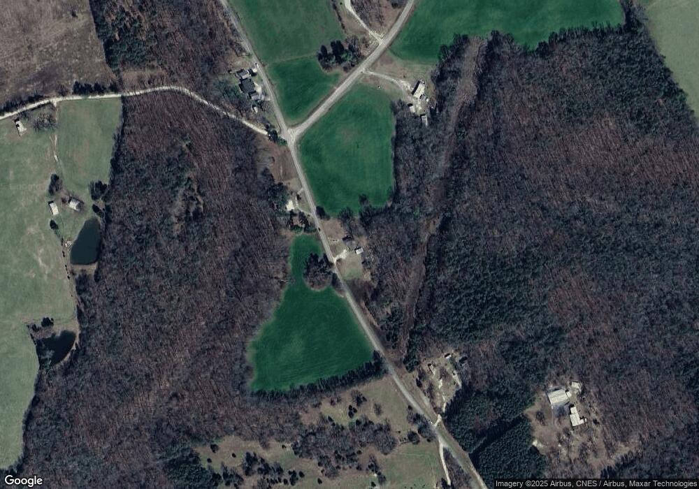
Map
Nearby Homes
- 2946 Rock Branch Rd
- 0 Moore Rd Unit 10552577
- 3113 Press Mann Rd
- 0 Anderson Hwy Unit 24629664
- 0 Anderson Hwy Unit 10536298
- 0 Gregg Shoals Dr Unit 10497348
- 0 Gregg Shoals Dr Unit CL342115
- 0 Gregg Shoals Dr Unit LotWP001 24031325
- 0 Jacks Hat Rd Unit 10614621
- 0 Jacks Hat Rd Unit 24288811
- 0 Jacks Hat Rd Unit 10597905
- 0 Jacks Hat Rd Unit 7657227
- 2187 Turner Hill Rd
- 0 Hornets Bridge Rd Unit 10523059
- 0 Hornets Bridge Rd Unit 10523061
- 0 Hornets Bridge Rd Unit 10601215
- 0 Hornets Bridge Rd Unit 2 10295928
- 1049 Jaybird Rd
- 00 Hornets Bridge Rd
- 39B Omaha Dr
- 3015 Rock Branch Rd
- 2974 Rock Branch Rd
- 3018 Moore Rd
- 3039 Rock Branch Rd
- 2932 Rock Branch Rd
- 3025 Moore Rd
- 3039 Moore Rd
- 2935 Rock Branch Rd
- 3088 Teasley Rd
- 3053 Moore Rd
- 3091 Moore Rd
- 2931 Rock Branch Rd
- 2922 Rock Branch Rd
- 2921 Rock Branch Rd
- 0000000 Rock Branch Rd
- 0 Rock Branch Rd Unit 7316707
- 0 Rock Branch Rd Unit 8814293
- 0 Rock Branch Rd Unit 8811797
- 0 Rock Branch Rd Unit 8687081
- 0 Rock Branch Rd Unit 7116206