3004 Stonehurst Rd Uniontown, OH 44685
Estimated Value: $396,972 - $436,000
3
Beds
2
Baths
1,930
Sq Ft
$220/Sq Ft
Est. Value
About This Home
This home is located at 3004 Stonehurst Rd, Uniontown, OH 44685 and is currently estimated at $424,493, approximately $219 per square foot. 3004 Stonehurst Rd is a home with nearby schools including Greenwood Elementary School, Green Primary School, and Green Intermediate Elementary School.
Ownership History
Date
Name
Owned For
Owner Type
Purchase Details
Closed on
Nov 20, 2018
Sold by
Nvr Inc
Bought by
Duignan Daniel J and Duignan Barbara J
Current Estimated Value
Home Financials for this Owner
Home Financials are based on the most recent Mortgage that was taken out on this home.
Original Mortgage
$115,000
Interest Rate
4.8%
Mortgage Type
New Conventional
Purchase Details
Closed on
Jul 30, 2018
Sold by
Lakes Of Green Ltd
Bought by
Nvr Inc and Nvr Incryan Homes
Create a Home Valuation Report for This Property
The Home Valuation Report is an in-depth analysis detailing your home's value as well as a comparison with similar homes in the area
Home Values in the Area
Average Home Value in this Area
Purchase History
| Date | Buyer | Sale Price | Title Company |
|---|---|---|---|
| Duignan Daniel J | $281,210 | Nvr Title Agency Llc | |
| Nvr Inc | $51,500 | None Available |
Source: Public Records
Mortgage History
| Date | Status | Borrower | Loan Amount |
|---|---|---|---|
| Previous Owner | Duignan Daniel J | $115,000 |
Source: Public Records
Tax History Compared to Growth
Tax History
| Year | Tax Paid | Tax Assessment Tax Assessment Total Assessment is a certain percentage of the fair market value that is determined by local assessors to be the total taxable value of land and additions on the property. | Land | Improvement |
|---|---|---|---|---|
| 2025 | $5,825 | $122,420 | $22,470 | $99,950 |
| 2024 | $5,825 | $122,420 | $22,470 | $99,950 |
| 2023 | $5,825 | $122,420 | $22,470 | $99,950 |
| 2022 | $5,230 | $98,725 | $18,120 | $80,605 |
| 2021 | $4,909 | $98,725 | $18,120 | $80,605 |
| 2020 | $4,814 | $98,730 | $18,120 | $80,610 |
| 2019 | $4,856 | $93,940 | $17,400 | $76,540 |
| 2018 | $123 | $1,040 | $1,040 | $0 |
| 2017 | $0 | $0 | $0 | $0 |
Source: Public Records
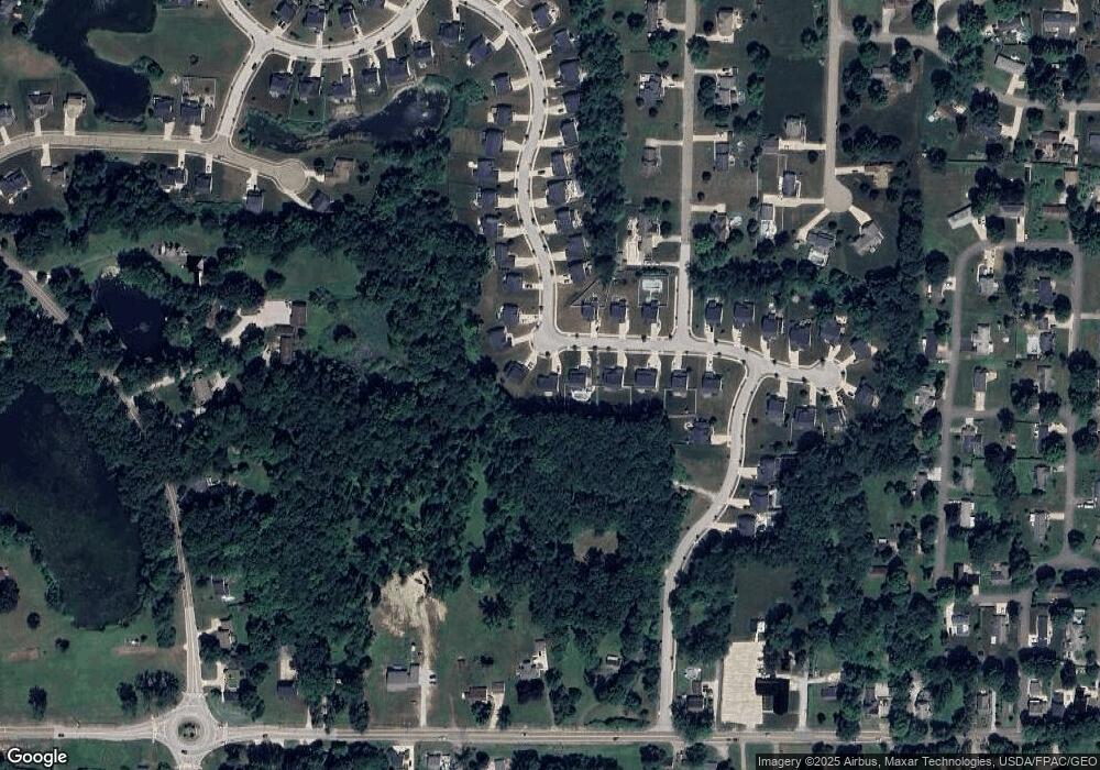
Map
Nearby Homes
- 3979 Northdale St NW
- 2771 Superior Dr
- 2944 Sunset Dr
- 13704 Greenland Ave NW
- 3796 Sweitzer St NW
- 3003 Myersville Rd
- 2619 Henrietta Dr
- 2664 Pine Lake Trail
- 2577 Sweitzer Rd
- 3212 Deborah Ct
- 3217 Deborah Ct
- 0 Pine St NW
- 2864 Pine Lake Rd
- 3310 Linden St NW
- 3100 Linden St NW
- 2500 Marlborough Dr
- 2418 Island Dr
- 2189 E Park Dr
- 2811 Canton Rd
- 3541 Elmhurst Cir
- 3012 Stonehurst Rd
- 3000 Stonehurst Rd
- 2880 Superior Dr
- 3022 Stonehurst Rd
- 3009 Stonehurst Dr
- 2870 Superior Dr
- 3034 Stonehurst Dr
- 3021 Stonehurst Rd
- 2863 Superior Dr
- 2864 Superior Dr
- 3037 Stonehurst Rd
- 2855 Superior Dr
- 3048 Stonehurst Rd
- 2852 Superior Dr
- 3272 Pebble Stone Dr
- 2844 Superior Dr
- 3058 Stonehurst Rd
- 2847 Superior Dr
- 2730 Watervale Dr
- 3059 Stonehurst Rd