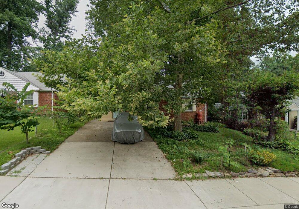
3005 Dawson Ave Silver Spring, MD 20902
Estimated Value: $380,623 - $486,000
Studio
1
Bath
962
Sq Ft
$471/Sq Ft
Est. Value
About This Home
This home is located at 3005 Dawson Ave, Silver Spring, MD 20902 and is currently estimated at $453,406, approximately $471 per square foot. 3005 Dawson Ave is a home located in Montgomery County with nearby schools including Highland Elementary School, Newport Mill Middle School, and Albert Einstein High School.
Ownership History
Date
Name
Owned For
Owner Type
Purchase Details
Closed on
Sep 1, 2023
Sold by
Barrett Thomas
Bought by
Thomas Barrett Trust and Barrett
Current Estimated Value
Purchase Details
Closed on
Sep 24, 1987
Bought by
Barrett Thomas
Create a Home Valuation Report for This Property
The Home Valuation Report is an in-depth analysis detailing your home's value as well as a comparison with similar homes in the area
Home Values in the Area
Average Home Value in this Area
Purchase History
| Date | Buyer | Sale Price | Title Company |
|---|---|---|---|
| Thomas Barrett Trust | -- | None Listed On Document | |
| Thomas Barrett Trust | -- | None Listed On Document | |
| Barrett Thomas | $91,000 | -- |
Source: Public Records
Tax History
| Year | Tax Paid | Tax Assessment Tax Assessment Total Assessment is a certain percentage of the fair market value that is determined by local assessors to be the total taxable value of land and additions on the property. | Land | Improvement |
|---|---|---|---|---|
| 2025 | $4,429 | $338,200 | $172,600 | $165,600 |
| 2024 | $4,429 | $321,200 | $0 | $0 |
| 2023 | $3,516 | $304,200 | $0 | $0 |
| 2022 | $3,131 | $287,200 | $172,600 | $114,600 |
| 2021 | $2,846 | $278,833 | $0 | $0 |
| 2020 | $2,846 | $270,467 | $0 | $0 |
| 2019 | $2,719 | $262,100 | $157,600 | $104,500 |
| 2018 | $2,618 | $255,300 | $0 | $0 |
| 2017 | $2,581 | $248,500 | $0 | $0 |
| 2016 | -- | $241,700 | $0 | $0 |
| 2015 | $2,229 | $238,267 | $0 | $0 |
| 2014 | $2,229 | $234,833 | $0 | $0 |
Source: Public Records
Map
Nearby Homes
- 3103 Dawson Ave
- 2904 Fenimore Rd
- 2890 Schoolhouse Cir
- 3027 Medway St
- 3008 Hardy Ave
- 11321 College View Dr
- 2613 Elnora St
- 12015 Claridge Rd
- 2600 Arcola Ave
- 11527 Grandview Ave
- 2228 Highfly Terrace
- 11814 College View Dr
- 3509 Astoria Rd
- 2932 University Blvd W
- 3117 University Blvd W Unit 3
- 11319 Woodson Ave
- 3410 Embry St
- 12106 Bluhill Rd
- 2913 Weisman Rd
- 11612 Leesborough Cir
- 3009 Dawson Ave
- 3001 Dawson Ave
- 3004 Collins Ave
- 3002 Collins Ave
- 3006 Collins Ave
- 3000 Collins Ave
- 3011 Dawson Ave
- 3008 Collins Ave
- 3004 Dawson Ave
- 3006 Dawson Ave
- 3002 Dawson Ave
- 3008 Dawson Ave
- 3010 Collins Ave
- 3101 Dawson Ave
- 3010 Dawson Ave
- 11506 Broadview Rd
- 2913 Dawson Ave
- 3001 Collins Ave
- 3100 Dawson Ave
Your Personal Tour Guide
Ask me questions while you tour the home.